|
|
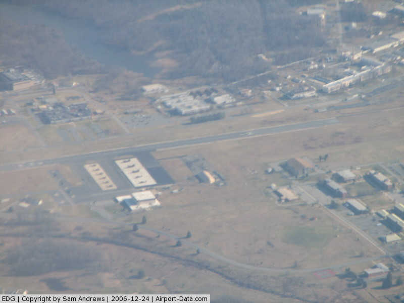
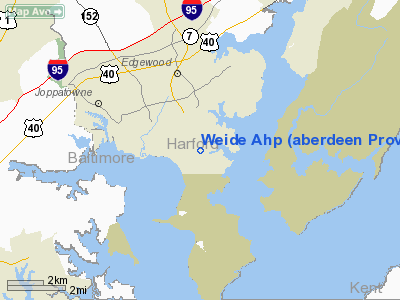
Weide Ahp (Aberdeen Proving Ground) Airport |
|
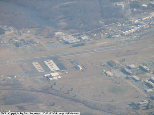 |
(Click on the photo to enlarge) |
Location & QuickFacts
| FAA Information Effective: | 2008-09-25 |
| Airport Identifier: | EDG |
| Airport Status: | Operational |
| Longitude/Latitude: | 076-17-27.8440W/39-23-31.3890N
-76.291068/39.392052 (Estimated) |
| Elevation: | 21 ft / 6.40 m (Estimated) |
| Land: | 0 acres |
| From nearest city: | 2 nautical miles S of Edgewood Arsenal, MD |
| Location: | Harford County, MD |
| Magnetic Variation: | 10W (1985) |
Owner & Manager
| Ownership: | Army owned |
| Owner: | Us Army Weide Army Heliport |
| Address: | 9325 Gunston Road
Ft Belvoir, VA 22060 |
| Manager: | State Army Aviation Officer |
| Address: | Maryland Army Nat'l Guard, Bldg E 4081
Apg, MD 21010-5401 |
| Phone number: | 410-436-3536 |
Airport Operations and Facilities
| Airport Use: | Private |
| Segmented Circle: | No |
| Control Tower: | No |
| Lighting Schedule: | DUSK-DAWN |
| Sectional chart: | Washington |
| Region: | AEA - Eastern |
| Traffic Pattern Alt: | 1000 ft |
| Boundary ARTCC: | ZDC - Washington |
| Tie-in FSS: | DCA - Leesburg |
| FSS on Airport: | No |
| FSS Toll Free: | 1-800-WX-BRIEF |
Airport Communications
Runway Information
Runway 01/19
| Dimension: | 4618 x 88 ft / 1407.6 x 26.8 m |
| Surface: | ASPH, |
| Weight Limit: | Single wheel: 30000 lbs. |
| Edge Lights: | High |
| |
Runway 01 |
Runway 19 |
| Traffic Pattern: | Left | Right |
|
Radio Navigation Aids
| ID |
Type |
Name |
Ch |
Freq |
Var |
Dist |
| MTN | NDB | Martin | | 342.00 | 11W | 6.9 nm |
| APG | NDB | Aberdeen | | 349.00 | 11W | 12.1 nm |
| IUB | NDB | Institute | | 404.00 | 08W | 16.8 nm |
| FND | NDB | Ellicott | | 371.00 | 11W | 23.5 nm |
| BUH | NDB | Anne Arundel | | 260.00 | 10W | 28.6 nm |
| ESN | NDB | Easton | | 212.00 | 10W | 36.8 nm |
| EUD | NDB | York | | 254.00 | 11W | 41.8 nm |
| GAI | NDB | Gaithersburg | | 385.00 | 09W | 42.8 nm |
| GTN | NDB | Georgetown | | 323.00 | 09W | 47.7 nm |
| VKX | NDB | Potomac | | 241.00 | 10W | 49.6 nm |
| MTN | TACAN | Martin | 068X | | 11W | 6.7 nm |
| DOV | TACAN | Dover | 037X | | 09W | 41.4 nm |
| PPM | VOR/DME | Phillips | 021X | 108.40 | 09W | 7.2 nm |
| DCA | VOR/DME | Washington | 047X | 111.00 | 09W | 47.3 nm |
| BAL | VORTAC | Baltimore | 098X | 115.10 | 11W | 21.8 nm |
| EMI | VORTAC | Westminster | 126X | 117.90 | 08W | 32.5 nm |
| DQO | VORTAC | Dupont | 087X | 114.00 | 10W | 36.1 nm |
| ENO | VORTAC | Smyrna | 051X | 111.40 | 09W | 37.3 nm |
| MXE | VORTAC | Modena | 079X | 113.20 | 09W | 42.7 nm |
| LRP | VORTAC | Lancaster | 120X | 117.30 | 09W | 43.8 nm |
| ADW | VORTAC | Andrews | 078X | 113.10 | 10W | 44.2 nm |
| OTT | VORTAC | Nottingham | 084X | 113.70 | 10W | 46.4 nm |
| OOD | VORTAC | Woodstown | 075X | 112.80 | 10W | 48.1 nm |
| ADW | VOT | Andrews Afb | | 109.60 | | 45.5 nm |
| DCA | VOT | Washington National | | 109.40 | | 47.7 nm |
Remarks
- W TFC ONLY.
- HELICOPTER NVG OPNS SUNSET TO 2400.
- MISC: WX BRIEFING SVC AVBL 24/7 15 OWS, SCOTT AFB DSN 312-576-9697, COM 618-256-9697 NIPRNET HTTPS://OWS.SCOTT.AF.MI
- HELIPORT LIES W/IN R 4001A APPROACH/DEPART HELIPORT WEST AND NORTH DO NOT FLY BYD 4,500 SOUTH OF RY.
- RSTD: ALL TRAN ACFT 24 HR PPR TUE-FRI ONLY.
- 24/7 PHONE MARYLAND JOINT OPERATIONS CENTER 410-702-9000.
Images and information placed above are from
http://www.airport-data.com/airport/EDG/
We thank them for the data!
| General Info
|
| Country |
United States
|
| State |
MARYLAND
|
| FAA ID |
EDG
|
| Latitude |
39-23-31.389N
|
| Longitude |
076-17-27.844W
|
| Elevation |
30 feet
|
| Near City |
EDGEWOOD ARSENAL
|
We don't guarantee the information is fresh and accurate. The data may
be wrong or outdated.
For more up-to-date information please refer to other sources.
|
|