 |
|
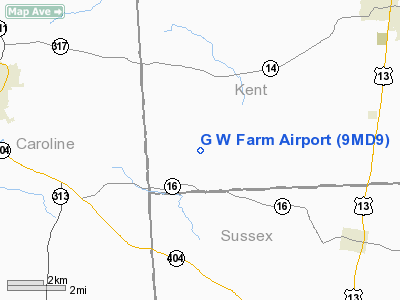
Location & QuickFacts
| FAA Information Effective: | 2008-09-25 |
| Airport Identifier: | 9MD9 |
| Airport Status: | Operational |
| Longitude/Latitude: | 075-41-21.4200W/38-51-07.0200N
-75.689283/38.851950 (Estimated) |
| Elevation: | 50 ft / 15.24 m () |
| Land: | 215 acres |
| From nearest city: | 6 nautical miles E of Denton, MD |
| Location: | Caroline County, MD |
| Magnetic Variation: | 12W (2000) |
Owner & Manager
| Ownership: | Privately owned |
| Owner: | Owen L. Schwatka Sr |
| Address: | 8895 Anderson Town Rd Box 236
Denton, MD 21629 |
| Phone number: | 410-479-0148 |
| Manager: | Owen L. Schwatka Sr |
| Address: | 8895 Anderson Town Rd Box 236
Denton, MD 21629 |
| Phone number: | 410-479-0148 |
Airport Operations and Facilities
| Airport Use: | Private |
| Segmented Circle: | No |
| Control Tower: | No |
| Sectional chart: | Washington |
| Region: | AEA - Eastern |
| Boundary ARTCC: | ZDC - Washington |
| Tie-in FSS: | DCA - Leesburg |
| FSS Toll Free: | 1-800-WX-BRIEF |
Runway Information
Runway 10/28
| Dimension: | 1650 x 100 ft / 502.9 x 30.5 m |
| Surface: | TURF, |
| |
Runway 10 |
Runway 28 |
| Traffic Pattern: | Left | Left |
| Obstruction: | 40 ft bldg, 100.0 ft from runway | |
|
Radio Navigation Aids
| ID |
Type |
Name |
Ch |
Freq |
Var |
Dist |
| ESN | NDB | Easton | | 212.00 | 10W | 18.0 nm |
| CGE | NDB | Cambridge | | 355.00 | 10W | 24.8 nm |
| OX | NDB | Landy | | 407.00 | 12W | 37.4 nm |
| MTN | NDB | Martin | | 342.00 | 11W | 42.0 nm |
| RNB | NDB | Rainbow | | 363.00 | 11W | 42.7 nm |
| APG | NDB | Aberdeen | | 349.00 | 11W | 45.4 nm |
| NHK | NDB | Patuxent | | 400.00 | 10W | 47.8 nm |
| DOV | TACAN | Dover | 037X | | 09W | 19.8 nm |
| MTN | TACAN | Martin | 068X | | 11W | 44.3 nm |
| ATR | VOR/DME | Waterloo | 073X | 112.60 | 09W | 22.5 nm |
| PPM | VOR/DME | Phillips | 021X | 108.40 | 09W | 43.2 nm |
| ENO | VORTAC | Smyrna | 051X | 111.40 | 09W | 24.2 nm |
| SBY | VORTAC | Salisbury | 049X | 111.20 | 12W | 31.6 nm |
| SIE | VORTAC | Sea Isle | 095X | 114.80 | 09W | 44.0 nm |
| PXT | VORTAC | Patuxent | 123X | 117.60 | 10W | 47.6 nm |
| SWL | VORTAC | Snow Hill | 071X | 112.40 | 08W | 49.0 nm |
| BAL | VORTAC | Baltimore | 098X | 115.10 | 11W | 49.3 nm |
| DQO | VORTAC | Dupont | 087X | 114.00 | 10W | 49.8 nm |
Remarks
- PRVDD VFR & A CLEAR 20:1 SLOPE & CONSIDERATION BE GIVEN TO THE HSE WHEN LANDING TO THE EAST.
Images and information placed above are from
http://www.airport-data.com/airport/9MD9/
We thank them for the data!
| General Info
|
| Country |
United States
|
| State |
MARYLAND
|
| FAA ID |
9MD9
|
| Latitude |
38-51-07.020N
|
| Longitude |
075-41-21.420W
|
| Elevation |
50 feet
|
| Near City |
DENTON
|
|


