|
|
Frederick Municipal Airport |
| Frederick Municipal Airport |
| IATA: FDK – ICAO: KFDK – FAA LID: FDK |
| Summary |
| Airport type |
Public |
| Owner |
City of Frederick |
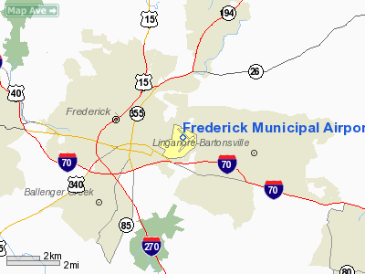
| Location |
Frederick, Maryland |
| Elevation AMSL |
303 ft / 92 m |
| Coordinates |
39°25′03″N 077°22′28″W / 39.4175°N 77.37444°W / 39.4175; -77.37444 |
| Runways |
| Direction |
Length |
Surface |
| ft |
m |
| 5/23 |
5,220 |
1,591 |
Asphalt |
| 12/30 |
3,600 |
1,097 |
Asphalt |
| Source: Federal Aviation Administration |
Frederick Municipal Airport (FDK) Frederick Municipal Airport (IATA: FDK, ICAO: KFDK, FAA LID: FDK) is a public airport located in the city of Frederick, in Frederick County, Maryland, United States. This airport is publicly owned by City of Frederick. Facilities
Runways
Frederick Municipal Airport covers an area of 588 acres (238 ha) which contains two runways:
- Runway 5/23: 5,220 x 100 ft (1,591 x 30 m), Surface: Asphalt
- Runway 12/30: 3,600 x 75 ft (1,097 x 23 m), Surface: Asphalt
On field
- Aircraft Owners and Pilots Association (AOPA) headquarters
- Fuel: 100LL, Jet-A
- Aircraft sales
- Aircraft maintenance
- Oxygen
- Pilot lounge and supplies
- Airways Inn restaurant
- Flight school and rental- Frederick Flight Center
- Helicopter Flight school and rental- Advanced Helicopter Concepts
Off field
- Fractured Prune Donut Shoppe: 0.5 mi (0.80 km)
- Underground Beach and Grill restaurant: 1.5 mi (2.4 km)
- Dutch's Daughter restaurant: 8 mi (13 km)
- Courtyard by Marriott: 5 mi (8.0 km)
- Hampton Inn: 5 mi (8.0 km)
Incidents
On May 11, 2005, a single engine Cessna that flew into restricted air space around Washington, D.C. was redirected by F-16s to the Frederick Municipal Airport.
The above content comes from Wikipedia and is published under free licenses – click here to read more.
|
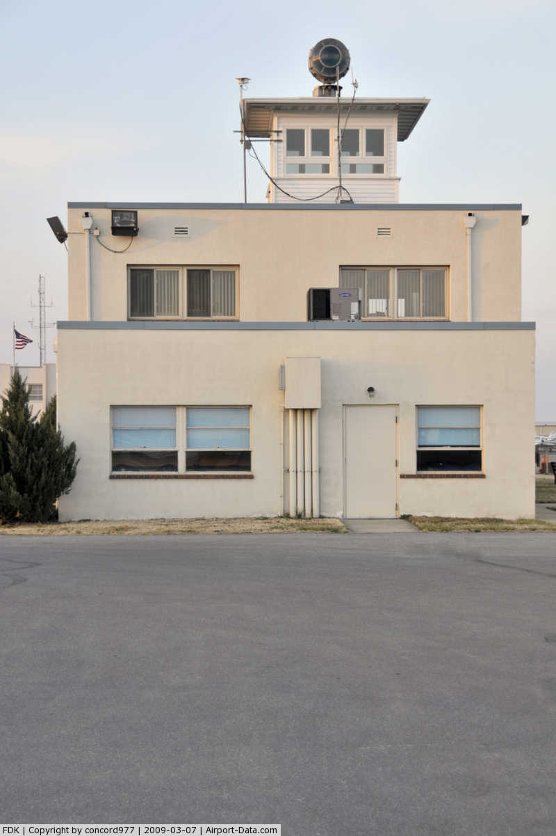
 |
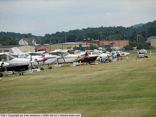
(Click on the photo to enlarge) |
|
 |
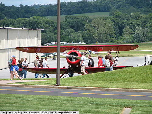
(Click on the photo to enlarge) |
|
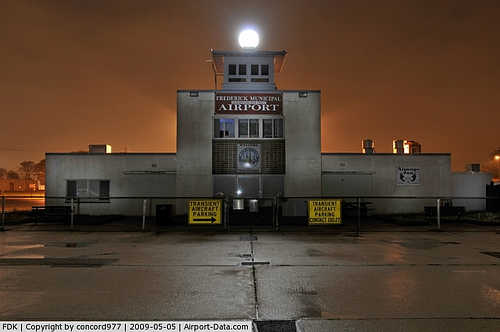
 |
(Click on the photo to enlarge) |
\
|
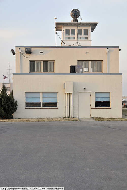
 |
(Click on the photo to enlarge) |
Location & QuickFacts
| FAA Information Effective: | 2008-09-25 |
| Airport Identifier: | FDK |
| Airport Status: | Operational |
| Longitude/Latitude: | 077-22-27.5000W/39-25-03.3000N
-77.374306/39.417583 (Estimated) |
| Elevation: | 303 ft / 92.35 m (Surveyed) |
| Land: | 600 acres |
| From nearest city: | 0 nautical miles E of Frederick, MD |
| Location: | Frederick County, MD |
| Magnetic Variation: | 08W (1980) |
Owner & Manager
| Ownership: | Publicly owned |
| Owner: | City Of Frederick |
| Address: | 101 N Court St
Frederick, MD 21701 |
| Phone number: | 301-600-1440 |
| Manager: | Charles Abell |
| Address: | 111 Airport Drive East
Frederick, MD 21701 |
| Phone number: | 301-600-2201
EMERGENCY PHONE 301-662-8156 |
Airport Operations and Facilities
| Airport Use: | Open to public |
| Wind indicator: | Yes |
| Segmented Circle: | Yes |
| Control Tower: | No |
| Lighting Schedule: | DUSK-DAWN
ACTVT HIRL RY 05/23; MIRL RY 12/30, REIL RYS 5/23 & 12/30, ODALS RY 23, & PAPI RY 05 & 23 - CTAF. |
| Beacon Color: | Clear-Green (lighted land airport) |
| Landing fee charge: | No |
| Sectional chart: | Washington |
| Region: | AEA - Eastern |
| Boundary ARTCC: | ZDC - Washington |
| Tie-in FSS: | DCA - Leesburg |
| FSS on Airport: | No |
| FSS Toll Free: | 1-800-WX-BRIEF |
| NOTAMs Facility: | FDK (NOTAM-d service avaliable) |
| Federal Agreements: | NGY |
Airport Communications
| CTAF: | 122.725 |
| Unicom: | 122.725 |
Airport Services
| Fuel available: | 100LLA |
| Airframe Repair: | MAJOR |
| Power Plant Repair: | MAJOR |
| Bottled Oxygen: | HIGH/LOW |
| Bulk Oxygen: | NONE |
Runway Information
Runway 05/23
| Dimension: | 5220 x 100 ft / 1591.1 x 30.5 m |
| Surface: | ASPH, Good Condition |
| Surface Treatment: | Saw-cut or plastic Grooved |
| Weight Limit: | Single wheel: 60000 lbs. |
| Edge Lights: | High |
| |
Runway 05 |
Runway 23 |
| Longitude: | 077-22-49.5648W | 077-22-06.3849W |
| Latitude: | 39-24-34.5664N | 39-25-13.8048N |
| Elevation: | 303.00 ft | 282.00 ft |
| Alignment: | 40 | 127 |
| ILS Type: | | ILS
|
| Traffic Pattern: | Right | Left |
| Markings: | Non-precision instrument, Good Condition | Precision instrument, Good Condition |
| VASI: | 4-light PAPI on left side | 4-light PAPI on left side |
| Approach lights: | | ODALS |
| Runway End Identifier: | Yes | Yes |
| Obstruction: | 88 ft pole, 2500.0 ft from runway, 26:1 slope to clear | 153 ft tower, 5000.0 ft from runway, 250 ft left of centerline, 31:1 slope to clear |
|
Runway 12/30
| Dimension: | 3600 x 75 ft / 1097.3 x 22.9 m |
| Surface: | ASPH, Good Condition |
| Edge Lights: | Medium |
| |
Runway 12 |
Runway 30 |
| Longitude: | 077-22-47.3584W | 077-22-06.1175W |
| Latitude: | 39-25-24.1754N | 39-25-08.5958N |
| Elevation: | 294.00 ft | 281.00 ft |
| Alignment: | 116 | 127 |
| Traffic Pattern: | Right | Left |
| Markings: | Non-precision instrument, Good Condition | Non-precision instrument, Good Condition |
| Crossing Height: | 43.00 ft | 36.00 ft |
| VASI: | 2-light PAPI on left side | 2-light PAPI on left side |
| Visual Glide Angle: | 3.00° | 4.00° |
| Runway End Identifier: | Yes | Yes |
| Obstruction: | 38 ft tree, 1101.0 ft from runway, 250 ft left of centerline, 23:1 slope to clear | 75 ft trees, 1440.0 ft from runway, 200 ft right of centerline, 16:1 slope to clear |
|
Radio Navigation Aids
| ID |
Type |
Name |
Ch |
Freq |
Var |
Dist |
| GAI | NDB | Gaithersburg | | 385.00 | 09W | 17.8 nm |
| FND | NDB | Ellicott | | 371.00 | 11W | 28.8 nm |
| GTN | NDB | Georgetown | | 323.00 | 09W | 31.5 nm |
| BUH | NDB | Anne Arundel | | 260.00 | 10W | 34.9 nm |
| GDX | NDB | Goodwin Lake | | 227.00 | 08W | 35.1 nm |
| IUB | NDB | Institute | | 404.00 | 08W | 35.7 nm |
| EUD | NDB | York | | 254.00 | 11W | 38.0 nm |
| TZ | NDB | Cogan | | 364.00 | 10W | 38.0 nm |
| DC | NDB | Oxonn | | 332.00 | 11W | 42.4 nm |
| VKX | NDB | Potomac | | 241.00 | 10W | 44.7 nm |
| MTN | NDB | Martin | | 342.00 | 11W | 46.7 nm |
| MTN | TACAN | Martin | 068X | | 11W | 45.0 nm |
| FDK | VOR | Frederick | | 109.00 | 08W | 0.3 nm |
| HGR | VOR | Hagerstown | | 109.80 | 07W | 28.0 nm |
| DCA | VOR/DME | Washington | 047X | 111.00 | 09W | 37.1 nm |
| EMI | VORTAC | Westminster | 126X | 117.90 | 08W | 18.9 nm |
| MRB | VORTAC | Martinsburg | 058X | 112.10 | 07W | 22.1 nm |
| AML | VORTAC | Armel | 082X | 113.50 | 08W | 29.3 nm |
| BAL | VORTAC | Baltimore | 098X | 115.10 | 11W | 36.3 nm |
| THS | VORTAC | St Thomas | 097X | 115.00 | 07W | 40.9 nm |
| ADW | VORTAC | Andrews | 078X | 113.10 | 10W | 43.7 nm |
| DCA | VOT | Washington National | | 109.40 | | 37.9 nm |
| ADW | VOT | Andrews Afb | | 109.60 | | 44.3 nm |
Remarks
- GLIDER OPERATIONS FROM PAVED RUNWAYS DAILY 0800 - DUSK.
- -15 FT DEPRESSION APCH END RY 23 246 FT LEFT OF CENTERLINE PARALLEL TO RY 400 FT LONG.
- DURG WINTER MONTHS RYS MAY BE CLSD INDIVIDUALLY FOR SNOW PLOWING.
- ALL NON-RADIO ACFT OPERATING INVOF FDK RECOMMENDED TO UTILZE A HAND HELD TRANSCEIVER AND FOLLOW STANDARD CTAF OPERATING PROCEDURES.
- EXISTED PRIOR TO 1959.
Images and information placed above are from
http://www.airport-data.com/airport/FDK/
We thank them for the data!
| General Info
|
| Country |
United States
|
| State |
MARYLAND
|
| FAA ID |
FDK
|
| Latitude |
39-25-03.300N
|
| Longitude |
077-22-27.500W
|
| Elevation |
303 feet
|
| Near City |
FREDERICK
|
We don't guarantee the information is fresh and accurate. The data may
be wrong or outdated.
For more up-to-date information please refer to other sources.
|
|