 |
|
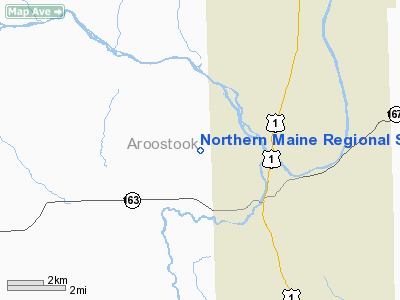
Northern Maine Regional Seaplane Base |
Location & QuickFacts
| FAA Information Effective: | 2008-09-25 |
| Airport Identifier: | 83B |
| Airport Status: | Operational |
| Longitude/Latitude: | 068-03-40.1080W/46-42-27.1500N
-68.061141/46.707542 (Estimated) |
| Elevation: | 500 ft / 152.40 m (Estimated) |
| Land: | 0 acres |
| From nearest city: | 2 nautical miles NW of Presque Isle, ME |
| Location: | Aroostook County, ME |
| Magnetic Variation: | 20W (1985) |
Owner & Manager
| Ownership: | Publicly owned |
| Owner: | City Of Presque Isle |
| Address: | 12 Second Street
Presque Isle, ME 04769 |
| Phone number: | 207-764-4485 |
| Manager: | Scott Wardwell |
| Address: | 650 Airport Dr, Suite 11
Presque Isle, ME 04769 |
| Phone number: | 207-764-2555 |
Airport Operations and Facilities
| Airport Use: | Open to public |
| Wind indicator: | No |
| Segmented Circle: | No |
| Control Tower: | No |
| Landing fee charge: | No |
| Sectional chart: | Halifax |
| Region: | ANE - New England |
| Traffic Pattern Alt: | 1300 ft |
| Boundary ARTCC: | ZBW - Boston |
| Tie-in FSS: | BGR - Bangor |
| FSS on Airport: | No |
| FSS Toll Free: | 1-800-WX-BRIEF |
| NOTAMs Facility: | BGR (NOTAM-d service avaliable) |
Airport Communications
| CTAF: | 122.800 |
| Unicom: | 122.800 |
Airport Services
| Bottled Oxygen: | NONE |
| Bulk Oxygen: | NONE |
Runway Information
Runway 01/19
| Dimension: | 6000 x 300 ft / 1828.8 x 91.4 m |
| Surface: | WATER, |
| |
Runway 01 |
Runway 19 |
| Traffic Pattern: | Left | Right |
| Obstruction: | 30 ft trees, 600.0 ft from runway, 20:1 slope to clear | 30 ft trees, 600.0 ft from runway, 20:1 slope to clear |
|
Radio Navigation Aids
| ID |
Type |
Name |
Ch |
Freq |
Var |
Dist |
| LIF | NDB | Limestone | | 220.00 | 19W | 11.9 nm |
| YSL | NDB | St Leonard | | 404.00 | 22W | 31.1 nm |
| FVE | NDB | Frenchville | | 257.00 | 20W | 34.6 nm |
| PQI | VOR/DME | Presque Isle | 111X | 116.40 | 21W | 4.2 nm |
| HUL | VOR/DME | Houlton | 108X | 116.10 | 21W | 41.2 nm |
Remarks
- ARPT LCTD NR NORTHERN MAINE RGNL ARPT, PRESQUE ISLE; WHICH HAS U 122.8, CLEAR-GREEN ROTG BCN, & WINDCONE.
- RISING TERRAIN WEST SIDE OF LAKE.
- VFR WX CONDS ONLY
Images and information placed above are from
http://www.airport-data.com/airport/83B/
We thank them for the data!
| General Info
|
| Country |
United States
|
| State |
MAINE
|
| FAA ID |
83B
|
| Latitude |
46-42-27.150N
|
| Longitude |
068-03-40.108W
|
| Elevation |
500 feet
|
| Near City |
PRESQUE ISLE
|
We don't guarantee the information is fresh and accurate. The data may
be wrong or outdated.
For more up-to-date information please refer to other sources.
|
|


