 |
|
|
Location &
QuickFacts
|
FAA
Information Effective: |
2008-09-25 |
|
Airport
Identifier: |
59KY |
|
Airport
Status: |
Operational |
|
Longitude/Latitude: |
085-33-18.8410W/37-53-52.2200N
-85.555234/37.897839 (Estimated) |
|
Elevation: |
690 ft / 210.31 m (Estimated) |
|
Land: |
30 acres |
|
From
nearest city: |
0 nautical miles E of Deatsville, KY |
|
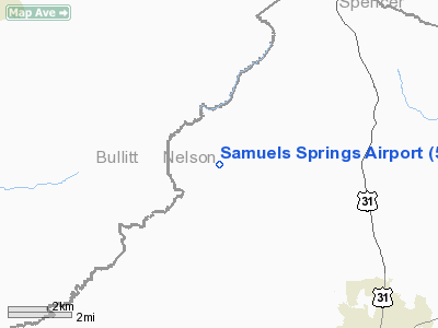
Location: |
Nelson County, KY |
|
Magnetic Variation: |
02W (1990) |
Owner & Manager
|
Ownership: |
Privately owned |
|
Owner: |
Dr Art Shulthise |
|
Address: |
2601 Kings Hwy
Louisville, KY 40205 |
|
Phone number: |
502-969-6958 |
|
Manager: |
Dr Art Shulthise |
|
Address: |
2601 Kings Hwy
Louisville, KY 40205 |
|
Phone number: |
502-969-6958 |
Airport
Operations and Facilities
|
Airport
Use: |
Private |
|
Wind
indicator: |
Yes |
|
Segmented Circle: |
No |
|
Control
Tower: |
No |
|
Sectional chart: |
St Louis |
|
Region: |
ASO - Southern |
|
Boundary
ARTCC: |
ZID - Indianapolis |
|
Tie-in
FSS: |
LOU - Louisville |
|
FSS on
Airport: |
No |
|
FSS Toll
Free: |
1-800-WX-BRIEF |
|
Runway Information
Runway 03/21
|
Dimension: |
1750 x 110 ft / 533.4 x 33.5 m |
|
Surface: |
TURF, Good Condition |
|
|
Runway 03
|
Runway 21
|
|
Traffic
Pattern: |
Left |
Left |
|
Radio Navigation Aids
|
ID |
Type |
Name |
Ch |
Freq |
Var |
Dist |
|
BRY |
NDB |
Bardstown/dcmsnd |
|
248.00 |
02W |
4.6 nm |
|
GOI |
NDB |
Godman |
|
396.00 |
02W |
20.3 nm |
|
IKY |
NDB |
Springfield |
|
429.00 |
03W |
21.9 nm |
|
TYC |
NDB |
Taylor County |
|
272.00 |
02W |
33.3 nm |
|
FEU |
NDB |
Arnold |
|
521.00 |
03W |
39.7 nm |
|
DVK |
NDB |
Goodall |
|
311.00 |
03W |
42.3 nm |
|
LE |
NDB |
Blayd |
|
242.00 |
04W |
42.8 nm |
|
MYS |
VOR |
Mystic |
|
108.20 |
01W |
32.7 nm |
|
FFT |
VOR |
Frankfort |
|
109.40 |
03W |
35.1 nm |
|
EWO |
VOR/DME |
New Hope |
045X |
110.80 |
01E |
17.0 nm |
|
FTK |
VOR/DME |
Fort Knox |
033X |
109.60 |
01W |
19.8 nm |
|
BQM |
VOR/DME |
Bowman |
059X |
112.20 |
01W |
20.6 nm |
|
IIU |
VORTAC |
Louisville |
095X |
114.80 |
01E |
12.4 nm |
|
ABB |
VORTAC |
Nabb |
071X |
112.40 |
01E |
41.7 nm |
|
SDF |
VOT |
Louisville Standifd |
|
111.00 |
|
18.9 nm |
Remarks
Based Aircraft
|
Aircraft based
on field: |
1 |
|
Single Engine
Airplanes: |
1 |
Samuels Springs Airport
Address:
Nelson County, KY
Tel:
502-969-6958
Images
and information placed above are from
http://www.airport-data.com/airport/59KY/
We
thank them for the data!
|
General Info |
| Country |
United
States |
| State |
KENTUCKY
|
| FAA ID |
59KY
|
| Latitude |
37-53-52.220N |
|
Longitude |
085-33-18.841W |
|
Elevation |
690 feet
|
| Near
City |
DEATSVILLE |
We don't guarantee the information is fresh and accurate. The data may
be wrong or outdated.
For more up-to-date information please refer to other sources.
|
|


