 |
|
|
Location &
QuickFacts
|
FAA
Information Effective: |
2008-09-25 |
|
Airport
Identifier: |
SN04 |
|
Airport
Status: |
Operational |
|
Longitude/Latitude: |
096-22-19.0000W/38-25-23.0000N
-96.371944/38.423056 (Estimated) |
|
Elevation: |
1185 ft / 361.19 m (Estimated) |
|
Land: |
13 acres |
|
From
nearest city: |
9 nautical miles W of Emporia, KS |
|
Location: |
Chase County, KS |
|
Magnetic Variation: |
06E (1995) |
Owner & Manager
|
Ownership: |
Privately owned |
|
Owner: |
Charles Dunn |
|
Address: |
2412 Toledo Rd
Emporia, KS 66801 |
|
Phone number: |
620-366-0894 |
|
Manager: |
Charles Dunn |
|
Address: |
2412 Toledo Rd
Emporia, KS 66801 |
|
Phone number: |
620-366-0894
EXT. 220. |
Airport Operations and Facilities
|
Airport Use: |
Private |
|
Wind indicator: |
No |
|
Segmented Circle: |
No |
|
Control Tower: |
No |
|
Region: |
ACE - Central |
|
Boundary ARTCC: |
ZKC - Kansas City |
|
Tie-in FSS: |
ICT - Wichita |
|
FSS Toll Free: |
1-800-WX-BRIEF |
Airport Services
|
Runway Information
Runway 18/36
|
Dimension: |
1800 x 60 ft / 548.6 x 18.3 m |
|
Surface: |
TURF, |
|
|
Runway 18
|
Runway 36
|
|
Traffic
Pattern: |
Left |
Left |
|
Obstruction: |
|
30 ft pline |
|
Radio Navigation Aids
|
ID |
Type |
Name |
Ch |
Freq |
Var |
Dist |
|
HRU |
NDB |
Herington |
|
407.00 |
06E |
26.2 nm |
|
UKL |
NDB |
Boyd |
|
245.00 |
05E |
31.5 nm |
|
CVY |
NDB |
Cavalry |
|
314.00 |
06E |
41.3 nm |
|
MQD |
NDB |
Mc Dowell Creek |
|
391.00 |
06E |
43.4 nm |
|
EQA |
NDB |
El Dorado |
|
383.00 |
05E |
44.0 nm |
|
EWK |
NDB |
Newton |
|
281.00 |
06E |
47.7 nm |
|
FOE |
TACAN |
Forbes |
053X |
|
05E |
45.9 nm |
|
FRI |
VOR |
Fort Riley |
|
109.40 |
06E |
40.1 nm |
|
MHK |
VOR/DME |
Manhattan |
039X |
110.20 |
06E |
45.6 nm |
|
EMP |
VORTAC |
Emporia |
075X |
112.80 |
08E |
13.6 nm |
|
FOE |
VOT |
Forbes |
|
111.00 |
|
45.9 nm |
Remarks
-
60 FT TREES 150
FT SOUTH OF RY 36.
-
PRVDD CLEAR 20:1
APCHS, CLEAR 7:1 TRANSITIONAL SFCS, & CLEAR OBSTACLE FREE ZONE.
Based Aircraft
|
Aircraft based
on field: |
1 |
|
Single Engine
Airplanes: |
1 |
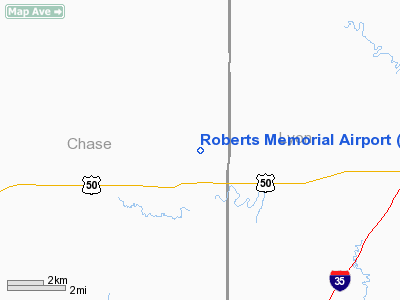
Roberts Memorial Airport
Address:
Chase County, KS
Tel:
620-366-0894
Images
and information placed above are from
http://www.airport-data.com/airport/SN04/
We
thank them for the data!
|
General Info |
| Country |
United
States |
| State |
KANSAS
|
| FAA ID |
SN04
|
| Latitude |
38-25-23.000N |
|
Longitude |
096-22-19.000W |
|
Elevation |
1185
feet |
| Near
City |
EMPORIA
|
We don't guarantee the information is fresh and accurate. The data may
be wrong or outdated.
For more up-to-date information please refer to other sources.
|
|


