 |
|
|
Location &
QuickFacts
|
FAA
Information Effective: |
2008-09-25 |
|
Airport
Identifier: |
8KS2 |
|
Airport
Status: |
Operational |
|
Longitude/Latitude: |
096-13-51.0020W/37-56-20.0940N
-96.230834/37.938915 (Estimated) |
|
Elevation: |
1160 ft / 353.57 m (Estimated) |
|
Land: |
0 acres |
|
From
nearest city: |
3 nautical miles SW of Hamilton, KS |
|
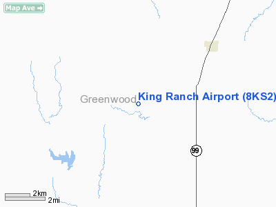
Location: |
Greenwood County, KS |
|
Magnetic Variation: |
06E (1985) |
Owner & Manager
|
Ownership: |
Privately owned |
|
Owner: |
George A Barnard |
|
Address: |
Route 2, Box 55
Eureka, KS 67045 |
|
Phone number: |
316-678-3895 |
|
Manager: |
George A Barnard |
|
Address: |
Route 2, Box 55
Eureka, KS 67045 |
|
Phone number: |
316-678-3895 |
Airport Operations and Facilities
|
Airport Use: |
Private |
|
Wind indicator: |
Yes |
|
Segmented Circle: |
No |
|
Control Tower: |
No |
|
Landing fee charge: |
No |
|
Sectional chart: |
Kansas City |
|
Region: |
ACE - Central |
|
Boundary ARTCC: |
ZKC - Kansas City |
|
Tie-in FSS: |
ICT - Wichita |
|
FSS on Airport: |
No |
|
FSS Toll Free: |
1-800-WX-BRIEF |
Airport
Communications
|
Runway Information
Runway 06/24
|
Dimension: |
1000 x 40 ft / 304.8 x 12.2 m |
|
Surface: |
TURF, |
|
|
Runway 06
|
Runway 24
|
|
Traffic
Pattern: |
Left |
Left |
|
Runway 17/35
|
Dimension: |
1800 x 40 ft / 548.6 x 12.2 m |
|
Surface: |
TURF, |
|
|
Runway 17
|
Runway 35
|
|
Traffic
Pattern: |
Left |
Left |
|
Radio Navigation Aids
|
ID |
Type |
Name |
Ch |
Freq |
Var |
Dist |
|
EQA |
NDB |
El Dorado |
|
383.00 |
05E |
29.4 nm |
|
UKL |
NDB |
Boyd |
|
245.00 |
05E |
32.4 nm |
|
MSB |
NDB |
Monarch |
|
410.00 |
04E |
39.7 nm |
|
PPF |
NDB |
Parsons |
|
258.00 |
06E |
49.9 nm |
|
EWK |
NDB |
Newton |
|
281.00 |
06E |
50.0 nm |
|
CNU |
VOR/DME |
Chanute |
029X |
109.20 |
05E |
35.6 nm |
|
EMP |
VORTAC |
Emporia |
075X |
112.80 |
08E |
21.6 nm |
Remarks
-
PROVIDED THAT THE
APCH TO EACH RWY IS MAINTAINED FOR A MINIMUM 20:1 GLIDE SLOPE AND THE
TRANSITIONAL SURFACE BE MAINTAINED FOR A 7:1 SLOPE.
Based Aircraft
|
Aircraft based
on field: |
1 |
|
Single Engine
Airplanes: |
1 |
King Ranch Airport
Address:
Greenwood County, KS
Tel:
316-678-3895
Images
and information placed above are from
http://www.airport-data.com/airport/8KS2/
We
thank them for the data!
|
General Info |
| Country |
United
States |
| State |
KANSAS
|
| FAA ID |
8KS2
|
| Latitude |
37-56-20.094N |
|
Longitude |
096-13-51.002W |
|
Elevation |
1160
feet |
| Near
City |
HAMILTON
|
We don't guarantee the information is fresh and accurate. The data may
be wrong or outdated.
For more up-to-date information please refer to other sources.
|
|


