 |
|
|
|
|
|
Location &
QuickFacts
|
FAA
Information Effective: |
2007-07-05 |
|
Airport
Identifier: |
53IA |
|
Airport
Status: |
Operational |
|
Longitude/Latitude: |
092-34-35.6910W/41-56-59.9710N
-92.576581/41.949992 (Estimated) |
|
Elevation: |
813 ft / 247.80 m (Surveyed) |
|
Land: |
100 acres |
|
From
nearest city: |
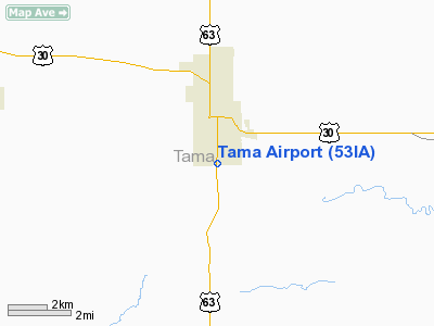
1 nautical miles S of Tama, IA |
|
Location: |
Tama County, IA |
|
Magnetic Variation: |
03E (1985) |
Owner & Manager
|
Ownership: |
Privately owned |
|
Owner: |
Tama Airways, Inc |
|
Address: |
800 25th Street, N.e.
Cedar Rapids, IA 52402 |
|
Phone
number: |
319-363-9792 |
|
Manager: |
Mrs Edith Nekola |
|
Address: |
800 25th Street, Ne
Cedar Rapids, IA 52402 |
|
Phone number: |
319-363-9792 |
Airport Operations and Facilities
|
Airport Use: |
Private |
|
Wind indicator: |
No |
|
Segmented Circle: |
No |
|
Control Tower: |
No |
|
Landing fee charge: |
No |
|
Sectional chart: |
Chicago |
|
Region: |
ACE - Central |
|
Traffic Pattern Alt: |
600 ft |
|
Boundary ARTCC: |
ZAU - Chicago |
|
Tie-in FSS: |
FOD - Fort Dodge |
|
FSS on Airport: |
No |
|
FSS Phone: |
515-955-8114 |
|
FSS Toll Free: |
1-800-WX-BRIEF |
Airport Services
|
Airframe
Repair: |
NONE |
|
Power
Plant Repair: |
NONE |
|
Runway Information
Runway 01/19
|
Dimension: |
2500 x 130 ft / 762.0 x 39.6 m |
|
Surface: |
TURF, Fair Condition |
|
|
Runway 01
|
Runway 19
|
|
Traffic
Pattern: |
Left |
Left |
|
Obstruction: |
48 ft pline, 1250.0 ft from runway, 26:1 slope to clear |
65 ft trees, 640.0 ft from runway, 80 ft right of
centerline, 9:1 slope to clear |
|
Radio Navigation Aids
|
ID |
Type |
Name |
Ch |
Freq |
Var |
Dist |
|
TZT |
NDB |
Belle Plaine |
|
371.00 |
02E |
13.7 nm |
|
GGI |
NDB |
Grinnell |
|
248.00 |
02E |
16.0 nm |
|
MIW |
NDB |
Marshalltown |
|
239.00 |
03E |
18.0 nm |
|
VTI |
NDB |
Garrison |
|
338.00 |
03E |
29.7 nm |
|
PEA |
NDB |
Pella |
|
257.00 |
02E |
36.6 nm |
|
IIB |
NDB |
Wapsie |
|
206.00 |
02E |
41.1 nm |
|
OOA |
NDB |
Oskaloosa |
|
414.00 |
03E |
43.7 nm |
|
IFA |
NDB |
Iowa Falls |
|
368.00 |
03E |
44.1 nm |
|
OXV |
NDB |
Knoxville |
|
284.00 |
03E |
46.1 nm |
|
IKV |
NDB |
Ankeny |
|
275.00 |
03E |
46.7 nm |
|
JWJ |
VOR/DME |
Elmwood |
031X |
109.40 |
03E |
17.7 nm |
|
TNU |
VOR/DME |
Newton |
072X |
112.50 |
03E |
25.8 nm |
|
CID |
VOR/DME |
Cedar Rapids |
088X |
114.10 |
05E |
35.6 nm |
|
ALO |
VORTAC |
Waterloo |
059X |
112.20 |
06E |
37.3 nm |
Remarks
Operational Statistics
Time Period:
1982-09-13 -
1983-09-12
|
Aircraft
Operations: |
40/Week |
|
Air Taxi: |
2.4% |
|
General
Aviation Local: |
48.8% |
|
General
Aviation Itinerant: |
48.8% |
Tama Airport
Address:
Tama County, IA
Tel:
319-363-9792
Images
and information placed above are from
http://www.airport-data.com/airport/53IA/
We
thank them for the data!
|
General Info |
| Country |
United
States |
| State |
IOWA
|
| FAA ID |
53IA
|
| Latitude |
41-56-59.971N |
|
Longitude |
092-34-35.691W |
|
Elevation |
813 feet
|
| Near
City |
TAMA
|
We don't guarantee the information is fresh and accurate. The data may
be wrong or outdated.
For more up-to-date information please refer to other sources.
|
|


