 |
|
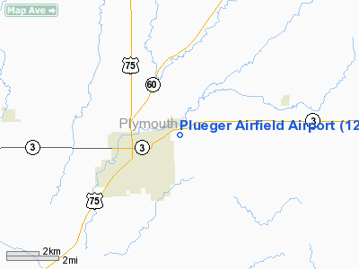
Location &
QuickFacts
|
FAA
Information Effective: |
2007-07-05 |
|
Airport
Identifier: |
12IA |
|
Airport
Status: |
Operational |
|
Longitude/Latitude: |
096-08-16.0700W/42-48-01.9600N
-96.137797/42.800544 (Estimated) |
|
Elevation: |
1245 ft / 379.48 m (Estimated) |
|
Land: |
9 acres |
|
From
nearest city: |
1 nautical miles E of Lemars, IA |
|
Location: |
Plymouth County, IA |
|
Magnetic Variation: |
() |
Owner & Manager
|
Ownership: |
Privately owned |
|
Owner: |
Mike Plueger |
|
Address: |
17457 Marble Ave
Lemars, IA 51031 |
|
Phone number: |
712-546-9403 |
|
Manager: |
Mike Plueger |
|
Address: |
17457 Marble Ave
Lemars, IA 51031 |
|
Phone number: |
712-546-9403 |
Airport
Operations and Facilities
|
Airport
Use: |
Private |
|
Segmented Circle: |
No |
|
Control
Tower: |
No |
|
Sectional chart: |
Omaha |
|
Region: |
ACE - Central |
|
Boundary
ARTCC: |
ZMP - Minneapolis |
|
Tie-in
FSS: |
FOD - Fort Dodge |
|
FSS
Phone: |
515-955-8114 |
|
FSS Toll
Free: |
1-800-WX-BRIEF |
|
Runway Information
Runway 09/27
|
Dimension: |
1350 x 200 ft / 411.5 x 61.0 m |
|
Surface: |
TURF, |
|
|
Runway 09
|
Runway 27
|
|
Traffic
Pattern: |
Left |
Left |
|
Radio Navigation Aids
|
ID |
Type |
Name |
Ch |
Freq |
Var |
Dist |
|
ORC |
NDB |
Orange City |
|
521.00 |
05E |
12.0 nm |
|
SOY |
NDB |
Sioux Center |
|
368.00 |
06E |
20.1 nm |
|
OI |
NDB |
Tommi |
|
305.00 |
07E |
25.0 nm |
|
GAK |
NDB |
Sioux Gateway |
|
233.00 |
06E |
26.0 nm |
|
CKP |
NDB |
Pilot Rock |
|
423.00 |
05E |
26.1 nm |
|
SHL |
NDB |
Sheldon |
|
338.00 |
05E |
28.2 nm |
|
SU |
NDB |
Salix |
|
414.00 |
07E |
29.2 nm |
|
VMR |
NDB |
Vermillion |
|
375.00 |
06E |
35.2 nm |
|
ISB |
NDB |
Sibley |
|
269.00 |
05E |
38.1 nm |
|
MEY |
NDB |
Mapleton |
|
335.00 |
05E |
40.2 nm |
|
SLB |
NDB |
Storm Lake |
|
434.00 |
04E |
41.3 nm |
|
LTU |
NDB |
Little Sioux |
|
326.00 |
05E |
48.4 nm |
|
DDL |
VOR/DME |
Sheldon |
023X |
108.60 |
05E |
28.1 nm |
|
SPW |
VOR/DME |
Spencer |
037X |
110.00 |
05E |
46.6 nm |
|
SUX |
VORTAC |
Sioux City |
112X |
116.50 |
09E |
28.6 nm |
Remarks
-
PRVDD A CLEAR
APCH FOR A 20:1 GLIDE SLOPE; A CLEAR TRANSITIONAL SFC FOR A 7:1 SLOPE; AND
PROPONENT SHOULD BE AWARE OF 345 FT TOWER APPRXLY 2 NM EAST OF STRIP.
Plueger Airfield Airport
Address:
Plymouth County, IA
Tel:
712-546-9403
Images
and information placed above are from
http://www.airport-data.com/airport/12IA/
We
thank them for the data!
We don't guarantee the information is fresh and accurate. The data may
be wrong or outdated.
For more up-to-date information please refer to other sources.
|
|


