 |
|
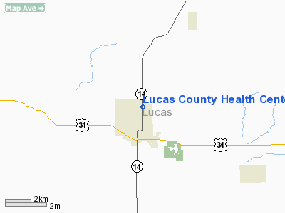
Lucas County Health Center Heliport |
Location &
QuickFacts
|
FAA
Information Effective: |
2007-07-05 |
|
Airport
Identifier: |
IA19 |
|
Airport
Status: |
Operational |
|
Longitude/Latitude: |
093-18-08.7530W/41-01-38.9980N
-93.302431/41.027499 (Estimated) |
|
Elevation: |
1049 ft / 319.74 m (Estimated) |
|
Land: |
0 acres |
|
From
nearest city: |
1 nautical miles NE of Chariton, IA |
|
Location: |
Lucas County, IA |
|
Magnetic Variation: |
03E (1995) |
Owner & Manager
|
Ownership: |
Privately owned |
|
Owner: |
Lucas County Health Center |
|
Address: |
1200 N 7th Street
Chariton, IA 50049 |
|
Phone
number: |
515-774-3000 |
|
Manager: |
Cathy Stotts |
|
Address: |
1200 N 7th Street
Chariton, IA 50049 |
|
Phone number: |
515-774-3000 |
Airport Operations and Facilities
|
Airport
Use: |
Private |
|
Segmented Circle: |
No |
|
Control
Tower: |
No |
|
Sectional chart: |
Omaha |
|
Region: |
ACE - Central |
|
Boundary
ARTCC: |
ZAU - Chicago |
|
Tie-in
FSS: |
FOD - Fort Dodge |
|
FSS on
Airport: |
No |
|
FSS
Phone: |
515-955-8114 |
|
FSS Toll
Free: |
1-800-WX-BRIEF |
|
Runway Information
Helipad H1
|
Dimension: |
55 x 55 ft / 16.8 x 16.8 m |
|
Surface: |
CONC, |
|
|
Runway H1
|
Runway
|
|
Traffic
Pattern: |
Left |
Left |
|
Radio Navigation Aids
|
ID |
Type |
Name |
Ch |
Freq |
Var |
Dist |
|
CNC |
NDB |
Chariton |
|
335.00 |
05E |
2.8 nm |
|
OXV |
NDB |
Knoxville |
|
284.00 |
03E |
18.2 nm |
|
TVK |
NDB |
Centerville |
|
290.00 |
04E |
27.4 nm |
|
PEA |
NDB |
Pella |
|
257.00 |
02E |
27.9 nm |
|
OOA |
NDB |
Oskaloosa |
|
414.00 |
03E |
38.8 nm |
|
IKV |
NDB |
Ankeny |
|
275.00 |
03E |
42.0 nm |
|
BEX |
NDB |
Bloomfield |
|
269.00 |
02E |
43.1 nm |
|
UNE |
NDB |
Union County |
|
379.00 |
04E |
47.6 nm |
|
GGI |
NDB |
Grinnell |
|
248.00 |
02E |
48.5 nm |
|
OTM |
VOR/DME |
Ottumwa |
053X |
111.60 |
06E |
44.3 nm |
|
TNU |
VOR/DME |
Newton |
072X |
112.50 |
03E |
46.3 nm |
|
DSM |
VORTAC |
Des Moines |
122X |
117.50 |
07E |
29.2 nm |
|
LMN |
VORTAC |
Lamoni |
114X |
116.70 |
07E |
39.8 nm |
|
DSM |
VOT |
Des Moines |
|
109.20 |
|
35.0 nm |
Remarks
-
OWNER DESIRES
ARPT NOT BE CHARTED.
-
PRVDD MAINTAIN
8:1 GLIDE SLOPE; MAINTAIN CLEAR AREA 2:1 TRANSITIONAL SFC; OBSTNS ARE MKD &
LGTD; AND CONTROL OF PUBLIC ACCESS DURING FLIGHT OPNS ACCOMPLISHED BY LOCAL
POLICE & HOSPITAL PERSONNEL.
Lucas County Health Center Heliport
Address:
Lucas County, IA
Tel:
515-774-3000
Images
and information placed above are from
http://www.airport-data.com/airport/IA19/
We
thank them for the data!
|
General Info |
| Country |
United
States |
| State |
IOWA
|
| FAA ID |
IA19
|
| Latitude |
41-01-38.998N |
|
Longitude |
093-18-08.753W |
|
Elevation |
1049
feet |
| Near
City |
CHARITON
|
We don't guarantee the information is fresh and accurate. The data may
be wrong or outdated.
For more up-to-date information please refer to other sources.
|
|


