 |
|
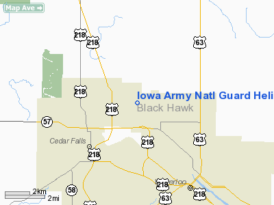
Iowa Army Natl Guard Heliport |
|
|
Location & QuickFacts
|
FAA Information Effective: |
2007-07-05 |
|
Airport Identifier: |
IA60 |
|
Airport Status: |
Operational |
|
Longitude/Latitude: |
092-23-59.6680W/42-33-21.9430N
-92.399908/42.556095 (Estimated) |
|
Elevation: |
866 ft / 263.96 m (Surveyed) |
|
Land: |
0 acres |
|
From nearest city: |
2 nautical miles NW of Waterloo, IA |
|
Location: |
Black Hawk County, IA |
|
Magnetic Variation: |
03E (1985) |
Owner & Manager
|
Ownership: |
Army owned |
|
Owner: |
Ia Army Natl Guard |
|
Address: |
|
|
Manager: |
Jerry A Burton Capt |
|
Address: |
2245 W Big Rock Road
Waterloo, IA 50701 |
|
Phone number: |
319-733-0901 |
Airport Operations and Facilities
|
Airport
Use: |
Private |
|
Wind
indicator: |
Yes |
|
Segmented Circle: |
No |
|
Control
Tower: |
No |
|
Lighting
Schedule: |
SS-SR |
|
Beacon
Color: |
Clear-Green (lighted land airport) |
|
Landing fee charge: |
No |
|
Sectional chart: |
Chicago |
|
Region: |
ACE - Central |
|
Boundary ARTCC: |
ZAU - Chicago |
|
Tie-in FSS: |
FOD - Fort Dodge |
|
FSS on Airport: |
No |
|
FSS Phone: |
515-955-8114 |
|
FSS Toll Free: |
1-800-WX-BRIEF |
Airport Services
|
Airframe
Repair: |
NONE |
|
Power
Plant Repair: |
NONE |
|
Runway Information
Helipad H1
|
Dimension: |
70 x 70 ft / 21.3 x 21.3 m |
|
Surface: |
ASPH, |
|
|
Runway H1
|
Runway
|
|
Traffic
Pattern: |
Right |
Left |
|
Helipad H2
|
Dimension: |
70 x 70 ft / 21.3 x 21.3 m |
|
Surface: |
ASPH, |
|
|
Runway H2
|
Runway
|
|
Traffic
Pattern: |
Right |
Left |
|
Helipad H3
|
Dimension: |
70 x 70 ft / 21.3 x 21.3 m |
|
Surface: |
ASPH, |
|
|
Runway H3
|
Runway
|
|
Traffic
Pattern: |
Right |
Left |
|
Radio Navigation Aids
|
ID |
Type |
Name |
Ch |
Freq |
Var |
Dist |
|
OLZ |
NDB |
Oelwein |
|
260.00 |
02E |
20.3 nm |
|
IIB |
NDB |
Wapsie |
|
206.00 |
02E |
20.8 nm |
|
VTI |
NDB |
Garrison |
|
338.00 |
03E |
26.2 nm |
|
CCY |
NDB |
Charles City |
|
375.00 |
03E |
32.1 nm |
|
MIW |
NDB |
Marshalltown |
|
239.00 |
03E |
35.3 nm |
|
XWY |
NDB |
West Union |
|
278.00 |
02E |
35.9 nm |
|
IY |
NDB |
Chukk |
|
417.00 |
03E |
37.6 nm |
|
HPT |
NDB |
Hampton |
|
230.00 |
03E |
37.9 nm |
|
IFA |
NDB |
Iowa Falls |
|
368.00 |
03E |
38.6 nm |
|
TZT |
NDB |
Belle Plaine |
|
371.00 |
02E |
40.6 nm |
|
JWJ |
VOR/DME |
Elmwood |
031X |
109.40 |
03E |
35.0 nm |
|
CID |
VOR/DME |
Cedar Rapids |
088X |
114.10 |
05E |
48.6 nm |
Based Aircraft
|
Aircraft based
on field: |
27 |
|
Helicopters: |
27 |
Iowa Army Natl Guard Heliport
Address:
Black Hawk County, IA
Tel:
319-733-0901
Images
and information placed above are from
http://www.airport-data.com/airport/IA60/
We
thank them for the data!
|
General Info |
| Country |
United
States |
| State |
IOWA
|
| FAA ID |
IA60
|
| Latitude |
42-33-21.943N |
|
Longitude |
092-23-59.668W |
|
Elevation |
866 feet
|
| Near
City |
WATERLOO
|
We don't guarantee the information is fresh and accurate. The data may
be wrong or outdated.
For more up-to-date information please refer to other sources.
|
|


