 |
|
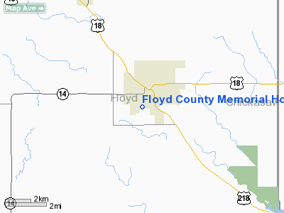
Floyd County Memorial Hospital Heliport |
Location &
QuickFacts
|
FAA
Information Effective: |
2007-07-05 |
|
Airport
Identifier: |
4IA3 |
|
Airport
Status: |
Operational |
|
Longitude/Latitude: |
092-41-03.6800W/43-03-02.8900N
-92.684356/43.050803 (Estimated) |
|
Elevation: |
1146 ft / 349.30 m (Estimated) |
|
Land: |
0 acres |
|
From
nearest city: |
1 nautical miles SW of Charles City, IA |
|
Location: |
Floyd County, IA |
|
Magnetic Variation: |
03E (1980) |
Owner & Manager
|
Ownership: |
Privately owned |
|
Owner: |
Floyd Co Memorial Hospital |
|
Address: |
800 Eleventh St,
Charles City, IA 50616 |
|
Phone
number: |
641-228-6830 |
|
Manager: |
Bill D. Faust |
|
Address: |
107 Blunt St
Charles City, IA 50616 |
|
Phone number: |
641-228-6830 |
Airport Operations and Facilities
|
Airport
Use: |
Private
MEDICAL. |
|
Wind
indicator: |
Yes |
|
Segmented Circle: |
No |
|
Control
Tower: |
No |
|
Landing
fee charge: |
No |
|
Sectional chart: |
Chicago |
|
Region: |
ACE - Central |
|
Boundary
ARTCC: |
ZMP - Minneapolis |
|
Tie-in
FSS: |
FOD - Fort Dodge |
|
FSS
Phone: |
515-955-8114 |
|
FSS Toll
Free: |
1-800-WX-BRIEF |
|
Runway Information
Helipad H1
|
Dimension: |
60 x 60 ft / 18.3 x 18.3 m |
|
Surface: |
CONC, |
|
|
Runway H1
|
Runway
|
|
Traffic
Pattern: |
Left |
Left |
|
Radio Navigation Aids
|
ID |
Type |
Name |
Ch |
Freq |
Var |
Dist |
|
CCY |
NDB |
Charles City |
|
375.00 |
03E |
3.5 nm |
|
IY |
NDB |
Chukk |
|
417.00 |
03E |
5.4 nm |
|
CJJ |
NDB |
Cresco |
|
293.00 |
02E |
30.8 nm |
|
HPT |
NDB |
Hampton |
|
230.00 |
03E |
30.8 nm |
|
OLZ |
NDB |
Oelwein |
|
260.00 |
02E |
38.2 nm |
|
XWY |
NDB |
West Union |
|
278.00 |
02E |
40.2 nm |
|
FXY |
NDB |
Forest City |
|
359.00 |
05E |
42.6 nm |
|
IFA |
NDB |
Iowa Falls |
|
368.00 |
03E |
43.0 nm |
|
DEH |
NDB |
Decorah |
|
236.00 |
01E |
43.7 nm |
|
IIB |
NDB |
Wapsie |
|
206.00 |
02E |
48.4 nm |
|
JAY |
VOR/DME |
Austin |
019X |
108.20 |
03E |
33.2 nm |
|
RST |
VOR/DME |
Rochester |
057X |
112.00 |
05E |
44.2 nm |
|
AEL |
VOR/DME |
Albert Lea |
035X |
109.80 |
05E |
48.4 nm |
|
MCW |
VORTAC |
Mason City |
096X |
114.90 |
06E |
28.5 nm |
|
ALO |
VORTAC |
Waterloo |
059X |
112.20 |
06E |
32.3 nm |
Remarks
-
HELIPAD LGTD WITH
PERIMETER LGTS.
-
PROVIDED APP/DEP
PATHS ARE MAINTAINED FOR AN 8:1 GLIDE SLOPE & TRANSITIONAL SURFACE FOR A 2:1
SLOPE.
Floyd County Memorial Hospital Heliport
Address:
Floyd County, IA
Tel:
641-228-6830
Images
and information placed above are from
http://www.airport-data.com/airport/4IA3/
We
thank them for the data!
|
General Info |
| Country |
United
States |
| State |
IOWA
|
| FAA ID |
4IA3
|
| Latitude |
43-03-02.890N |
|
Longitude |
092-41-03.680W |
|
Elevation |
1146
feet |
| Near
City |
CHARLES
CITY |
We don't guarantee the information is fresh and accurate. The data may
be wrong or outdated.
For more up-to-date information please refer to other sources.
|
|


