|
|
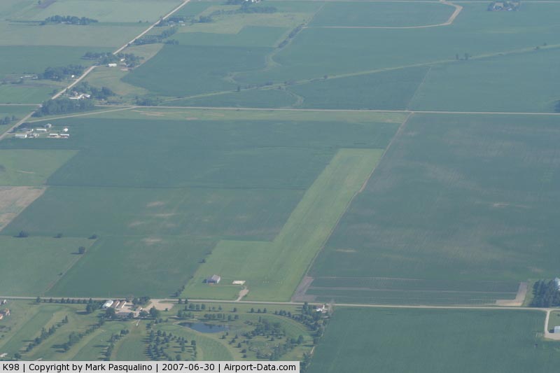
Allen Memorial Hospital Heliport |
|
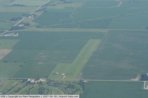 |
(Click on the photo to enlarge) |
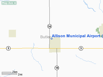
Location
& QuickFacts
|
FAA Information Effective: |
2007-07-05 |
|
Airport
Identifier: |
K98 |
|
Airport
Status: |
Operational |
|
Longitude/Latitude: |
092-48-15.7000W/42-45-49.9150N
-92.804361/42.763865 (Estimated) |
|
Elevation: |
1053 ft / 320.95 m (Surveyed) |
|
Land: |
19
acres |
|
From
nearest city: |
0 nautical miles NW of Allison, IA |
|
Location: |
Butler County, IA |
|
Magnetic Variation: |
03E (1985) |
Owner
& Manager
|
Ownership: |
Publicly owned |
|
Owner: |
City Of Allison |
|
Address: |
300 3rd St.
Allison, IA 50602 |
|
Phone number: |
319-267-2245 |
|
Manager: |
Lester Schrage |
|
Address: |
Box 488
Allison, IA 50602 |
|
Phone number: |
319-267-2859 |
Airport
Operations and Facilities
|
Airport Use: |
Open to public |
|
Wind
indicator: |
Yes |
|
Segmented
Circle: |
No |
|
Control
Tower: |
No |
|
Landing
fee charge: |
No |
|
Sectional
chart: |
Chicago |
|
Region: |
ACE - Central |
|
Traffic
Pattern Alt: |
800 ft |
|
Boundary
ARTCC: |
ZAU - Chicago |
|
Tie-in
FSS: |
FOD - Fort Dodge |
|
FSS
on Airport: |
No |
|
FSS
Phone: |
515-955-8114 |
|
FSS
Toll Free: |
1-800-WX-BRIEF |
|
NOTAMs
Facility: |
FOD (NOTAM-d service avaliable) |
Airport
Communications
Airport
Services
|
Airframe Repair: |
NONE |
|
Power Plant Repair: |
NONE |
|
Bottled
Oxygen: |
NONE |
|
Bulk
Oxygen: |
NONE |
|
Runway Information
Runway 18/36
|
Dimension: |
1790 x 175 ft / 545.6 x 53.3 m |
|
Surface: |
TURF, Fair Condition |
|
|
Runway 18 |
Runway 36 |
|
Traffic
Pattern: |
Left |
Left |
|
Obstruction: |
, 50:1 slope to clear |
41 ft pole, 1090.0 ft from runway, 150 ft right
of centerline, 26:1 slope to clear
ANTENNA 60' RGT OF RWY CNTRLN. |
|
Radio Navigation
Aids
|
ID |
Type |
Name |
Ch |
Freq |
Var |
Dist |
|
HPT |
NDB |
Hampton |
|
230.00 |
03E |
18.7 nm |
|
CCY |
NDB |
Charles City |
|
375.00 |
03E |
20.2 nm |
|
IY |
NDB |
Chukk |
|
417.00 |
03E |
22.5 nm |
|
IFA |
NDB |
Iowa Falls |
|
368.00 |
03E |
26.7 nm |
|
OLZ |
NDB |
Oelwein |
|
260.00 |
02E |
36.9 nm |
|
MIW |
NDB |
Marshalltown |
|
239.00 |
03E |
39.6 nm |
|
CAV |
NDB |
Clarion |
|
387.00 |
03E |
42.1 nm |
|
IIB |
NDB |
Wapsie |
|
206.00 |
02E |
42.1 nm |
|
FXY |
NDB |
Forest City |
|
359.00 |
05E |
45.7 nm |
|
XWY |
NDB |
West Union |
|
278.00 |
02E |
46.3 nm |
|
CJJ |
NDB |
Cresco |
|
293.00 |
02E |
46.7 nm |
|
VTI |
NDB |
Garrison |
|
338.00 |
03E |
47.6 nm |
|
EAG |
NDB |
Eagle Grove |
|
302.00 |
03E |
49.0 nm |
|
JWJ |
VOR/DME |
Elmwood |
031X |
109.40 |
03E |
39.5 nm |
|
JAY |
VOR/DME |
Austin |
019X |
108.20 |
03E |
49.1 nm |
|
ALO |
VORTAC |
Waterloo |
059X |
112.20 |
06E |
21.8 nm |
|
MCW |
VORTAC |
Mason City |
096X |
114.90 |
06E |
30.5 nm |
Remarks
- ARPT
CLSD WINTER MONTHS.
- ARPT
CLSD TO NGT OPNS.
- RY
36 IS CALM WIND RY.
- EXISTED
PRIOR 5/15/59.
Based
Aircraft
|
Aircraft
based on field: |
5 |
|
Single
Engine Airplanes: |
2 |
|
Ultralights: |
3 |
Operational Statistics
Time Period: 2005-09-09
- 2006-09-08
|
Aircraft
Operations: |
40/Week |
|
General
Aviation Local: |
40.0% |
|
General
Aviation Itinerant: |
60.0% |
Allison Municipal Airport
Address:
Butler County, IA
Tel:
319-267-2245, 319-267-2859
Images
and information placed above are from
http://www.airport-data.com/airport/K98/
We
thank them for the data!
| General
Info |
| Country |
United
States |
| State |
IOWA
|
| FAA ID |
K98
|
| Latitude |
42-45-49.915N
|
| Longitude |
092-48-15.700W
|
| Elevation |
1053 feet
|
| Near City |
ALLISON
|
We don't guarantee the information is fresh and accurate. The data may
be wrong or outdated.
For more up-to-date information please refer to other sources.
|
|