 |
|
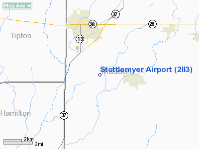
Location & QuickFacts
|
FAA
Information Effective: |
2008-06-05 |
|
Airport
Identifier: |
2II3 |
| Airport
Status: |
Operational |
|
Longitude/Latitude: |
085-48-59.0000W/40-13-36.0000N
-85.816389/40.226667 (Estimated) |
|
Elevation: |
865
ft / 263.65 m (Estimated) |
|
Land: |
0 acres |
| From
nearest city: |
2
nautical miles W of Frankton, IN |
|
Location: |
Madison County, IN |
|
Magnetic Variation: |
03W
(1990) |
Owner & Manager
|
Ownership: |
Privately
owned |
| Owner: |
C
L Stottlemyer |
|
Address: |
1831 N Log Cabin Dr
Anderson,
IN 46011 |
|
Phone number: |
317-643-5225 |
|
Address: |
|
Airport
Operations and Facilities
|
Airport
Use: |
Private |
|
Wind indicator: |
Yes |
|
Segmented Circle: |
No |
|
Control
Tower: |
No |
|
Sectional chart: |
Chicago |
|
Region: |
AGL - Great Lakes |
| Boundary
ARTCC: |
ZID
- Indianapolis |
|
Tie-in FSS: |
HUF - Terre Haute |
| FSS
Toll Free: |
1-800-WX-BRIEF |
|
Runway Information
Runway 18/36
|
Dimension: |
2200 x 150 ft
/ 670.6 x 45.7 m |
| Surface: |
TURF,
|
|
|
Runway 18 |
Runway 36 |
|
Traffic Pattern: |
Left |
Right |
|
Obstruction: |
25
ft pline, 1450.0 ft from runway |
|
|
Radio Navigation Aids
|
ID |
Type |
Name |
Ch |
Freq |
Var |
Dist |
| AI |
NDB |
Video |
|
371.00 |
03W |
16.9
nm |
|
UMP |
NDB |
Metropolitan |
|
338.00 |
03W |
20.4 nm |
| HZP |
NDB |
Zionsville |
|
248.00 |
03W |
26.3
nm |
|
UWL |
NDB |
New Castle |
|
385.00 |
02W |
31.0 nm |
| IWH |
NDB |
Wabash |
|
329.00 |
03W |
32.3
nm |
|
FKR |
NDB |
Frankfort |
|
278.00 |
02W |
34.3 nm |
| HFY |
NDB |
Greenwood |
|
398.00 |
02W |
37.9
nm |
|
GGP |
NDB |
Logansport |
|
263.00 |
01W |
38.6 nm |
| PLD |
NDB |
Portland |
|
257.00 |
03W |
40.5
nm |
|
HHG |
NDB |
Huntington |
|
417.00 |
03W |
41.1 nm |
| MZZ |
VOR/DME |
Marion |
023X |
108.60 |
03W |
17.2
nm |
|
MIE |
VOR/DME |
Muncie |
091X |
114.40 |
03W |
19.4 nm |
| OKK |
VORTAC |
Kokomo |
082X |
113.50 |
00E |
21.2
nm |
|
GUS |
VORTAC |
Grissom |
21Y |
108.45 |
02W |
29.4 nm |
| VHP |
VORTAC |
Brickyard |
110X |
116.30 |
01E |
35.5
nm |
|
SHB |
VORTAC |
Shelbyville |
057X |
112.00 |
01E |
35.7 nm |
| IND |
VOT |
Indianapolis
Intl |
|
109.60 |
|
37.1
nm |
Remarks
- OBS
REMOVED/LOWERED OR THR DSPLCD TO PRVD 20:1 SLOPE; CLEAR 125' EITHER
SIDE OF CNTRLN & 200' END OF RY.
Based Aircraft
|
Aircraft
based on field: |
1 |
|
Single Engine Airplanes: |
1 |
Stottlemyer Airport
Address:
Madison County, IN
Tel:
317-643-5225
Images
and information placed above are from
http://www.airport-data.com/airport/2II3/
We
thank them for the data!
| General
Info |
| Country |
United
States |
| State |
INDIANA
|
| FAA ID |
2II3 |
| Latitude |
40-13-36.000N
|
| Longitude |
085-48-59.000W
|
| Elevation |
865 feet
|
| Near City |
FRANKTON
|
We don't guarantee the information is fresh and accurate. The data may
be wrong or outdated.
For more up-to-date information please refer to other sources.
|
|


