 |
|
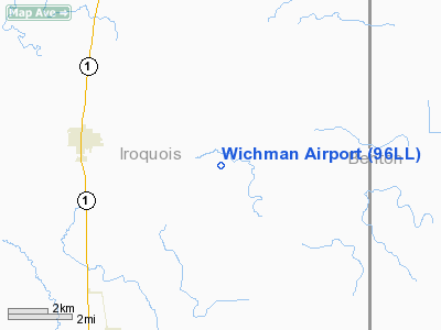
Location
& QuickFacts
|
FAA
Information Effective: |
2007-12-20 |
|
Airport
Identifier: |
96LL |
|
Airport
Status: |
Operational |
|
Longitude/Latitude: |
087-36-51.0930W/40-36-58.1310N
-87.614193/40.616147 (Estimated) |
|
Elevation: |
681 ft / 207.57 m (Estimated) |
|
Land: |
0 acres |
|
From nearest
city: |
1 nautical miles W of Stockland, IL |
|
Location: |
Iroquois County, IL |
|
Magnetic
Variation: |
01W (1985) |
Owner & Manager
|
Ownership: |
Privately
owned |
|
Owner: |
Donald A. Wichman |
|
Address: |
Rr 3
Milford, IL 60953 |
|
Phone
number: |
815-682-4450 |
|
Manager: |
Donald A. Wichman |
|
Address: |
Rr 3
Milford, IL 60953 |
|
Phone
number: |
815-682-4450 |
Airport
Operations and Facilities
|
Airport
Use: |
Private |
|
Wind indicator: |
Yes |
|
Segmented
Circle: |
No |
|
Control
Tower: |
No |
|
Landing
fee charge: |
No |
|
Sectional
chart: |
Chicago |
|
Region: |
AGL - Great Lakes |
|
Boundary
ARTCC: |
ZAU - Chicago |
|
Tie-in
FSS: |
IKK - Kankakee |
|
FSS on
Airport: |
No |
|
FSS Toll
Free: |
1-800-WX-BRIEF |
|
Runway Information
Runway N/S
|
Dimension: |
2640 x 80 ft
/ 804.7 x 24.4 m |
|
Surface: |
TURF, |
|
|
Runway N |
Runway S |
|
Traffic
Pattern: |
Left |
Left |
|
Radio Navigation
Aids
|
ID |
Type |
Name |
Ch |
Freq |
Var |
Dist |
|
RZL |
NDB |
Rensselaer |
|
362.00 |
02W |
27.9 nm |
|
HMJ |
NDB |
Homer |
|
281.00 |
01E |
38.7 nm |
|
MCX |
NDB |
White County |
|
377.00 |
03W |
39.3 nm |
|
CFJ |
NDB |
Crawfordsville |
|
388.00 |
02W |
49.8 nm |
|
RBS |
VOR/DME |
Roberts |
115X |
116.80 |
02E |
25.2 nm |
|
IKK |
VOR/DME |
Kankakee |
053X |
111.60 |
00E |
29.6 nm |
|
DNV |
VORTAC |
Danville |
047X |
111.00 |
02E |
19.6 nm |
|
BVT |
VORTAC |
Boiler |
098X |
115.10 |
01E |
25.1 nm |
|
EON |
VORTAC |
Peotone |
079X |
113.20 |
02E |
40.1 nm |
|
CMI |
VORTAC |
Champaign |
037X |
110.00 |
03E |
46.3 nm |
Based Aircraft
|
Aircraft
based on field: |
1 |
|
Single Engine
Airplanes: |
1 |
Wichman Airport
Address:
Iroquois County, IL
Tel:
815-682-4450
Images
and information placed above are from
http://www.airport-data.com/airport/96LL/
We
thank them for the data!
| General
Info |
| Country |
United
States |
| State |
ILLINOIS
|
| FAA ID |
96LL |
| Latitude |
40-36-58.131N
|
| Longitude |
087-36-51.093W
|
| Elevation |
681 feet
|
| Near City |
STOCKLAND
|
We don't guarantee the information is fresh and accurate. The data may
be wrong or outdated.
For more up-to-date information please refer to other sources.
|
|


