 |
|
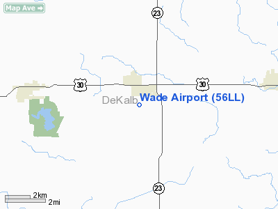
Location
& QuickFacts
|
FAA
Information Effective: |
2007-12-20 |
|
Airport
Identifier: |
56LL |
|
Airport
Status: |
Operational |
|
Longitude/Latitude: |
088-46-16.2960W/41-45-18.1060N
-88.771193/41.755029 (Estimated) |
|
Elevation: |
810 ft / 246.89 m (Estimated) |
|
Land: |
0 acres |
|
From nearest
city: |
1 nautical miles S of Waterman, IL |
|
Location: |
De Kalb County, IL |
|
Magnetic
Variation: |
00W (1985) |
Owner & Manager
|
Ownership: |
Privately
owned |
|
Owner: |
William J. Wade |
|
Address: |
8906 Waterman Rd
Waterman,
IL 60556 |
|
Phone
number: |
815-264-3650 |
|
Manager: |
William J Wade |
|
Address: |
8906 Waterman Rd
Waterman,
IL 60556 |
|
Phone
number: |
815-264-3650 |
Airport Operations
and Facilities
|
Airport Use: |
Private |
|
Segmented
Circle: |
No |
|
Control
Tower: |
No |
|
Lighting
Schedule: |
RDO-CTL
ACTVT LIRL 18/36 - 122.8. |
|
Sectional
chart: |
St Louis |
|
Region: |
AGL - Great Lakes |
|
Boundary
ARTCC: |
ZAU - Chicago |
|
Tie-in
FSS: |
IKK - Kankakee |
|
FSS on
Airport: |
No |
|
FSS Toll
Free: |
1-800-WX-BRIEF |
Airport
Communications
|
Runway Information
Runway 18/36
|
Dimension: |
3200 x 100 ft
/ 975.4 x 30.5 m |
|
Surface: |
TURF, |
|
Edge Lights: |
Low |
|
|
Runway 18 |
Runway 36 |
|
Traffic
Pattern: |
Left |
Left |
|
Radio Navigation
Aids
|
ID |
Type |
Name |
Ch |
Freq |
Var |
Dist |
|
DKB |
NDB |
Dekalb |
|
209.00 |
02W |
11.1 nm |
|
OIX |
NDB |
Ottawa |
|
266.00 |
01E |
23.9 nm |
|
VYS |
NDB |
Valley |
|
230.00 |
00W |
29.4 nm |
|
ME |
NDB |
Deana |
|
350.00 |
00E |
35.7 nm |
|
HK |
NDB |
Ermin |
|
332.00 |
01W |
42.0 nm |
|
BOZ |
NDB |
Whiteside |
|
254.00 |
01E |
45.6 nm |
|
FEP |
NDB |
Freeport |
|
335.00 |
00E |
46.8 nm |
|
MX |
NDB |
Kedzi |
|
248.00 |
01W |
48.5 nm |
|
DPA |
VOR/DME |
Dupage |
021X |
108.40 |
02E |
20.5 nm |
|
RFD |
VOR/DME |
Rockford |
045X |
110.80 |
01E |
34.1 nm |
|
PLL |
VOR/DME |
Polo |
049X |
111.20 |
03E |
36.0 nm |
|
ORD |
VOR/DME |
Chicago O'hare |
086X |
113.90 |
02E |
41.2 nm |
|
OBK |
VOR/DME |
Northbrook |
077X |
113.00 |
02W |
46.1 nm |
|
JOT |
VORTAC |
Joliet |
070X |
112.30 |
02E |
23.9 nm |
|
ORD |
VOT |
Chicago O'hare Intl |
|
112.00 |
|
41.0 nm |
|
MDW |
VOT |
Chicago Midway |
|
111.00 |
|
45.7 nm |
Based Aircraft
|
Aircraft
based on field: |
14 |
|
Single Engine
Airplanes: |
12 |
|
Multi Engine Airplanes: |
2 |
Wade Airport
Address:
De Kalb County, IL
Tel:
815-264-3650
Images
and information placed above are from
http://www.airport-data.com/airport/56LL/
We
thank them for the data!
| General
Info |
| Country |
United
States |
| State |
ILLINOIS
|
| FAA ID |
56LL |
| Latitude |
41-45-18.106N
|
| Longitude |
088-46-16.296W
|
| Elevation |
810 feet
|
| Near City |
WATERMAN
|
We don't guarantee the information is fresh and accurate. The data may
be wrong or outdated.
For more up-to-date information please refer to other sources.
|
|


