|
|
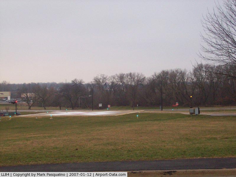
St Anthony Medical Center Heliport |
|
 |
(Click on the photo to enlarge) |
Location
& QuickFacts
|
FAA
Information Effective: |
2007-12-20 |
|
Airport
Identifier: |
LL84 |
|
Airport
Status: |
Operational |
|
Longitude/Latitude: |
089-00-12.3750W/42-16-10.0720N
-89.003438/42.269464 (Estimated) |
|
Elevation: |
860 ft / 262.13 m (Estimated) |
|
Land: |
0 acres |
|
From nearest
city: |
10 nautical miles N of Rockford, IL |
|
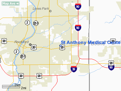
Location: |
Winnebago County, IL |
|
Magnetic
Variation: |
00W (1985) |
Owner
& Manager
|
Ownership: |
Privately
owned |
|
Owner: |
Osf Healthcare System |
|
Address: |
5666 East State St
Rockford, IL 61101 |
|
Phone
number: |
815-226-2000 |
|
Manager: |
Kurt Streit |
|
Address: |
5666 East State St
Rockford, IL 61101 |
|
Phone
number: |
815-226-2000 |
Airport
Operations and Facilities
|
Airport Use: |
Private
MEDICAL USE. |
|
Wind
indicator: |
Yes |
|
Segmented
Circle: |
No |
|
Control
Tower: |
No |
|
Lighting
Schedule: |
DUSK-DAWN |
|
Beacon
Color: |
Clear-Green-Yellow (heliport) |
|
Landing
fee charge: |
No |
|
Sectional
chart: |
Chicago |
|
Region: |
AGL - Great Lakes |
|
Boundary
ARTCC: |
ZAU - Chicago |
|
Tie-in
FSS: |
IKK - Kankakee |
|
FSS
on Airport: |
No |
|
FSS
Toll Free: |
1-800-WX-BRIEF |
Airport
Services
|
Runway Information
Helipad H1
|
Dimension: |
40 x 40 ft /
12.2 x 12.2 m |
|
Surface: |
CONC, |
|
|
Runway H1 |
Runway |
|
Traffic
Pattern: |
Left |
Left |
|
Helipad H2
|
Dimension: |
40 x 40 ft /
12.2 x 12.2 m |
|
Surface: |
CONC, |
|
|
Runway H2 |
Runway |
|
Traffic
Pattern: |
Left |
Left |
|
Radio Navigation
Aids
|
ID |
Type |
Name |
Ch |
Freq |
Var |
Dist |
|
JVL |
NDB |
Janesville |
|
375.00 |
03E |
20.8 nm |
|
DKB |
NDB |
Dekalb |
|
209.00 |
02W |
24.1 nm |
|
FEP |
NDB |
Freeport |
|
335.00 |
00E |
26.0 nm |
|
LVV |
NDB |
Lake Lawn |
|
404.00 |
00W |
31.6 nm |
|
ME |
NDB |
Deana |
|
350.00 |
00E |
47.2 nm |
|
BOZ |
NDB |
Whiteside |
|
254.00 |
01E |
48.4 nm |
|
RFD |
VOR/DME |
Rockford |
045X |
110.80 |
01E |
9.1 nm |
|
JVL |
VOR/DME |
Janesville |
090X |
114.30 |
03E |
17.9 nm |
|
PLL |
VOR/DME |
Polo |
049X |
111.20 |
03E |
29.5 nm |
|
DPA |
VOR/DME |
Dupage |
021X |
108.40 |
02E |
37.0 nm |
|
BUU |
VOR/DME |
Burbun |
092X |
114.50 |
01W |
40.1 nm |
|
OBK |
VOR/DME |
Northbrook |
077X |
113.00 |
02W |
46.9 nm |
Based Aircraft
|
Aircraft
based on field: |
1 |
|
Helicopters: |
1 |
St Anthony Medical Center Heliport
Address:
Winnebago County, IL
Tel:
815-226-2000
Images
and information placed above are from
http://www.airport-data.com/airport/LL84/
We
thank them for the data!
| General
Info |
| Country |
United
States |
| State |
ILLINOIS
|
| FAA ID |
LL84 |
| Latitude |
42-16-10.072N
|
| Longitude |
089-00-12.375W
|
| Elevation |
860 feet
|
| Near City |
ROCKFORD
|
We don't guarantee the information is fresh and accurate. The data may
be wrong or outdated.
For more up-to-date information please refer to other sources.
|
|