|
|
|
 |
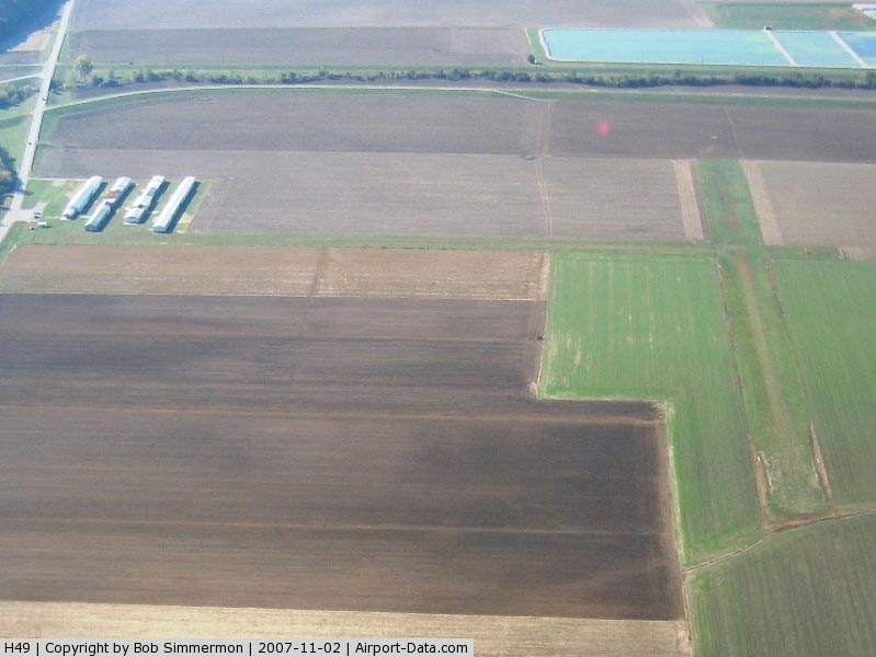
(Click on the photo to enlarge) |
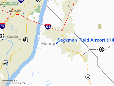
Location
& QuickFacts
|
FAA
Information Effective: |
2007-12-20 |
|
Airport
Identifier: |
H49 |
|
Airport
Status: |
Operational |
|
Longitude/Latitude: |
090-14-09.8000W/38-27-08.3000N
-90.236056/38.452306 (Estimated) |
|
Elevation: |
420 ft / 128.02 m (Estimated) |
|
Land: |
19 acres |
|
From nearest
city: |
2 nautical miles WN of Columbia, IL |
|
Location: |
Monroe County, IL |
|
Magnetic
Variation: |
02E (1985) |
Owner
& Manager
|
Ownership: |
Privately
owned |
|
Owner: |
Columbia Flying Club |
|
Address: |
11563 Bluff Rd
Columbia, IL 62236 |
|
Phone
number: |
618-281-9947 |
|
Manager: |
Don Karr
PRESIDENT OF COLUMBIA FLYING CLUB. |
|
Address: |
4831 Prairie View Court
St. Louis, IL 63128 |
|
Phone
number: |
314-487-1489 |
Airport
Operations and Facilities
|
Airport
Use: |
Open
to public |
|
Wind indicator: |
Yes |
|
Segmented
Circle: |
Yes
SEGMENTED CIRCLE & TFC ARMS ARE BRIGHT ORANGE. |
|
Control
Tower: |
No |
|
Lighting
Schedule: |
RDO-CTL
FOR RY LGTS KEY 122.9 3 CLICKS. LIGHTS GO OFF AFTER 15 MIN. |
|
Sectional
chart: |
St Louis |
|
Region: |
AGL - Great Lakes |
|
Boundary
ARTCC: |
ZKC - Kansas City |
|
Tie-in
FSS: |
STL - Saint Louis |
|
FSS on
Airport: |
No |
|
FSS Toll
Free: |
1-800-WX-BRIEF |
|
NOTAMs
Facility: |
STL (NOTAM-d service avaliable) |
Airport
Communications
|
Runway Information
Runway 03/21
|
Dimension: |
2450 x 150 ft
/ 746.8 x 45.7 m |
|
Surface: |
TURF, |
|
Edge Lights: |
Non-standard lighting system
NSTD LIRL DUE TO UNEVEN SPACING & NON-FRANGIBLE MOUNTS. |
|
|
Runway 03 |
Runway 21 |
|
Longitude: |
090-14-17.0100W |
090-14-02.5500W |
|
Latitude: |
38-26-57.5800N |
38-27-18.9700N |
|
Traffic
Pattern: |
Left |
Right |
|
Obstruction: |
57 ft pline, 1300.0 ft from runway, 22:1 slope
to clear |
50 ft trees, 1800.0 ft from runway, 36:1 slope
to clear |
|
Radio Navigation
Aids
|
ID |
Type |
Name |
Ch |
Freq |
Var |
Dist |
|
FES |
NDB |
Festus |
|
269.00 |
01E |
17.0 nm |
|
BL |
NDB |
Belleville |
|
362.00 |
02E |
22.6 nm |
|
LM |
NDB |
Oblio |
|
338.00 |
00E |
23.7 nm |
|
CVM |
NDB |
Civic Memorial |
|
263.00 |
02E |
27.8 nm |
|
SAR |
NDB |
Sparta |
|
239.00 |
01E |
31.2 nm |
|
PRI |
NDB |
Perrine |
|
367.00 |
02E |
42.3 nm |
|
UUV |
NDB |
Sullivan |
|
356.00 |
02E |
45.6 nm |
|
SKE |
TACAN |
Scott |
059X |
|
02E |
18.9 nm |
|
CSX |
VOR/DME |
Cardinal |
111Y |
116.45 |
00E |
19.0 nm |
|
TOY |
VORTAC |
Troy |
107X |
116.00 |
04E |
22.8 nm |
|
STL |
VORTAC |
St Louis |
121X |
117.40 |
01E |
27.1 nm |
|
FTZ |
VORTAC |
Foristell |
045X |
110.80 |
05E |
37.5 nm |
|
FAM |
VORTAC |
Farmington |
104X |
115.70 |
01E |
46.8 nm |
|
STL |
VOT |
St Louis Lambert |
|
111.00 |
|
18.7 nm |
|
SUS |
VOT |
Spirit Of St Louis |
|
112.20 |
|
23.3 nm |
Remarks
- PRVDD
OBSTN REMOVED/LOWERED TO PRVD A CLEAR 20:1 APCH; AREA 125 FT EITHER
SIDE OF RY IS CLEAR; AREA 60 FT EITHER SIDE OF CNTRLN & 240 FT OFF
RY ENDS IS CLEAR.
Based Aircraft
|
Aircraft
based on field: |
50 |
|
Single Engine
Airplanes: |
50 |
Operational Statistics
Time
Period: 2005-09-01 - 2006-08-31
|
Aircraft
Operations: |
116/Week |
|
General Aviation
Local: |
91.7% |
|
General Aviation
Itinerant: |
8.3% |
Sackman Field Airport
Address:
Monroe County, IL
Tel:
618-281-9947,
314-487-1489
Images
and information placed above are from
http://www.airport-data.com/airport/H49/
We
thank them for the data!
| General
Info |
| Country |
United
States |
| State |
ILLINOIS
|
| FAA ID |
H49 |
| Latitude |
38-27-02.190N
|
| Longitude |
090-14-09.410W
|
| Elevation |
420 feet
|
| Near City |
COLUMBIA
|
We don't guarantee the information is fresh and accurate. The data may
be wrong or outdated.
For more up-to-date information please refer to other sources.
|
|