|
|
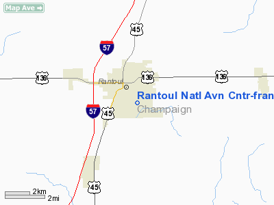
Rantoul National Aviation Center - Frank Elliott Field Airport |
Coordinates: 40°17′37″N 088°08′33″W / 40.29361°N 88.1425°W / 40.29361; -88.1425
Rantoul National Aviation Center
Frank Elliott Field |
| IATA: none – ICAO: KTIP – FAA LID: TIP |
| Summary |
| Airport type |
Public |
| Owner |
Village of Rantoul |
| Location |
Rantoul, Illinois |
| Elevation AMSL |
737 ft / 225 m |
| Website |
village.rantoul.il.us/... |
| Runways |
| Direction |
Length |
Surface |
| ft |
m |
| 9/27 |
5,000 |
1,524 |
Asphalt |
| 18/36 |
4,895 |
1,492 |
Asphalt |
| Statistics (2005) |
| Aircraft operations |
20,000 |
| Source: Federal Aviation Administration |
Rantoul National Aviation Center (ICAO: KTIP, FAA LID: TIP), also known as Frank Elliott Field, is a public airport located in Rantoul, a village in Champaign County, Illinois, United States. It is owned by the Village of Rantoul. The airport was established in 1993 after the closure of Chanute Air Force Base (which was established as Chanute Field in 1917).
Although most U.S. airports use the same three-letter location identifier for the FAA and IATA, Rantoul National Aviation Center is assigned TIP by the FAA but has no designation from the IATA (which assigned TIP to Tripoli International Airport in Tripoli, Libya).
Facilities and aircraft
Rantoul National Aviation Center covers an area of 1,192 acres (482 ha) which contains two asphalt paved runways: 9/27 measuring 5,000 x 75 ft (1,524 x 23 m) and 18/36 measuring 4,895 x 75 ft (1,492 x 23 m). For the 12-month period ending December 31, 2005, the airport had 20,000 aircraft operations (all general aviation), an average of 54 per day.
The above content comes from Wikipedia and is published under free licenses – click here to read more.
|
 |
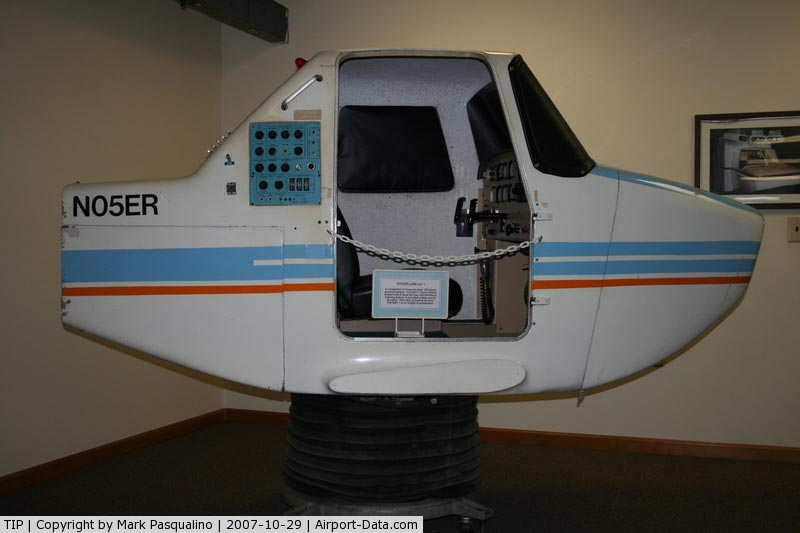
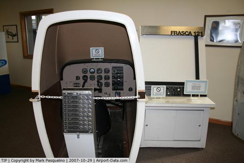
(Click on the photo to enlarge) |
|
 |
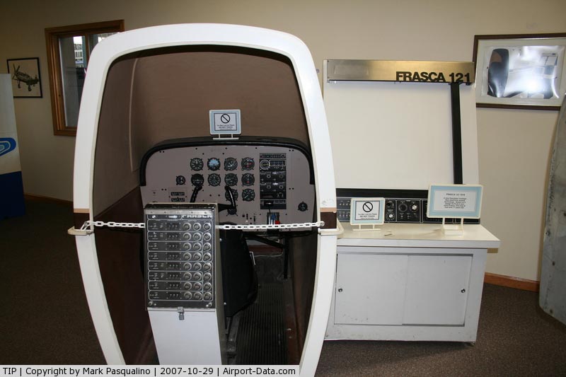
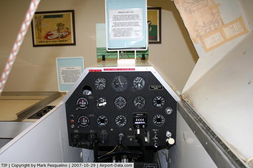
(Click on the photo to enlarge) |
|
 |
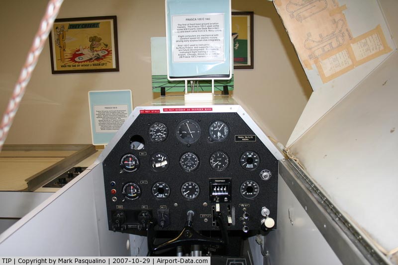
(Click on the photo to enlarge) |
|
 |
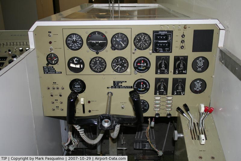
(Click on the photo to enlarge) |
Location
& QuickFacts
|
FAA
Information Effective: |
2007-12-20 |
|
Airport
Identifier: |
TIP |
|
Airport
Status: |
Operational |
|
Longitude/Latitude: |
088-08-32.6000W/40-17-36.8000N
-88.142389/40.293556 (Estimated) |
|
Elevation: |
737 ft / 224.64 m (Surveyed) |
|
Land: |
1192 acres |
|
From nearest
city: |
0 nautical miles N of Rantoul, IL |
|
Location: |
Champaign County, IL |
|
Magnetic
Variation: |
01W (1995) |
Owner
& Manager
|
Ownership: |
Publicly
owned |
|
Owner: |
Village Of Rantoul |
|
Address: |
333 South Tanner Street, Po Box 38
Rantoul, IL 61866 |
|
Phone
number: |
217-893-9955 |
|
Manager: |
Reed Burger |
|
Address: |
333 S Tanner
Rantoul, IL 61866 |
|
Phone
number: |
217-893-9955 |
Airport
Operations and Facilities
|
Airport
Use: |
Open
to public |
|
Wind indicator: |
Yes |
|
Segmented
Circle: |
Yes |
|
Control
Tower: |
No |
|
Lighting
Schedule: |
DUSK-DAWN
MIRL RYS 09/27 & 18/36 PRESET ON LOW INTST; TO INCR
INTST ACTVT - CTAF. |
|
Beacon
Color: |
Clear-Green (lighted land airport) |
|
Sectional
chart: |
Chicago |
|
Region: |
AGL - Great Lakes |
|
Boundary
ARTCC: |
ZAU - Chicago |
|
Tie-in
FSS: |
STL - Saint Louis |
|
FSS Toll
Free: |
1-800-WX-BRIEF |
|
NOTAMs
Facility: |
TIP (NOTAM-d service avaliable) |
|
Federal
Agreements: |
NGY |
Airport
Communications
|
CTAF: |
123.000 |
|
Unicom: |
123.000
|
Airport
Services
|
Fuel
available: |
100LLA
FOR FUEL AFTER HRS CALL 217-892-2121. |
|
Airframe
Repair: |
MAJOR |
|
Power
Plant Repair: |
MAJOR |
|
Runway Information
Runway 09/27
|
Dimension: |
5000 x 75 ft
/ 1524.0 x 22.9 m |
|
Surface: |
ASPH, Good Condition |
|
Edge Lights: |
Medium |
|
|
Runway 09 |
Runway 27 |
|
Longitude: |
088-08-59.6217W |
088-07-55.0902W |
|
Latitude: |
40-17-31.1132N |
40-17-31.4658N |
|
Elevation: |
735.00 ft |
729.00 ft |
|
Alignment: |
90 |
127 |
|
Traffic
Pattern: |
Right |
Left |
|
Markings: |
Non-precision instrument, Good Condition |
Non-precision instrument, Good Condition |
|
Runway End
Identifier: |
Yes
RY 09 & 27 REIL OTS INDEFLY |
Yes |
|
Obstruction: |
39 ft pole, 1502.0 ft from runway, 220 ft right
of centerline, 33:1 slope to clear |
, 50:1 slope to clear |
|
Runway 18/36
|
Dimension: |
4895 x 75 ft
/ 1492.0 x 22.9 m |
|
Surface: |
ASPH, Good Condition |
|
Edge Lights: |
Medium |
|
|
Runway 18 |
Runway 36 |
|
Longitude: |
088-08-37.8995W |
088-08-37.8715W |
|
Latitude: |
40-18-06.6047N |
40-17-18.2434N |
|
Elevation: |
738.00 ft |
734.00 ft |
|
Alignment: |
127 |
127 |
|
Traffic
Pattern: |
Left |
Right |
|
Markings: |
Numbers only, Good Condition |
Numbers only, Good Condition |
|
Obstruction: |
56 ft tree, 1119.0 ft from runway, 240 ft left
of centerline, 16:1 slope to clear |
, 50:1 slope to clear |
|
Radio Navigation
Aids
|
ID |
Type |
Name |
Ch |
Freq |
Var |
Dist |
|
HMJ |
NDB |
Homer |
|
281.00 |
01E |
18.3 nm |
|
PRG |
NDB |
Paris |
|
341.00 |
01E |
41.8 nm |
|
RBS |
VOR/DME |
Roberts |
115X |
116.80 |
02E |
17.3 nm |
|
BMI |
VOR/DME |
Bloomington |
019X |
108.20 |
03E |
37.8 nm |
|
PNT |
VOR/DME |
Pontiac |
033X |
109.60 |
03E |
41.6 nm |
|
IKK |
VOR/DME |
Kankakee |
053X |
111.60 |
00E |
48.8 nm |
|
MTO |
VOR/DME |
Mattoon |
031X |
109.40 |
03E |
49.5 nm |
|
CMI |
VORTAC |
Champaign |
037X |
110.00 |
03E |
16.7 nm |
|
DNV |
VORTAC |
Danville |
047X |
111.00 |
02E |
26.8 nm |
|
DEC |
VORTAC |
Decatur |
119X |
117.20 |
03E |
46.9 nm |
Based Aircraft
|
Aircraft
based on field: |
20 |
|
Single Engine
Airplanes: |
16 |
|
Multi Engine Airplanes: |
4 |
Operational Statistics
Time
Period: 2005-01-01 - 2005-12-31
|
Aircraft
Operations: |
55/Day |
|
General Aviation
Local: |
50.0% |
|
General Aviation
Itinerant: |
50.0% |
Rantoul National Aviation Center-frank
Elliott Field Airport
Address:
Champaign County, IL
Tel:
217-893-9955
Images
and information placed above are from
http://www.airport-data.com/airport/TIP/
We
thank them for the data!
| General
Info |
| Country |
United
States |
| State |
ILLINOIS
|
| FAA ID |
TIP |
| Latitude |
40-17-36.800N
|
| Longitude |
088-08-32.600W
|
| Elevation |
737 feet
|
| Near City |
RANTOUL
|
We don't guarantee the information is fresh and accurate. The data may
be wrong or outdated.
For more up-to-date information please refer to other sources.
|
|