 |
|
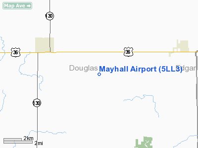
Location
& QuickFacts
|
FAA
Information Effective: |
2007-12-20 |
|
Airport
Identifier: |
5LL3 |
|
Airport
Status: |
Operational |
|
Longitude/Latitude: |
088-05-43.1410W/39-46-10.1200N
-88.095317/39.769478 (Estimated) |
|
Elevation: |
643 ft / 195.99 m (Surveyed) |
|
Land: |
7 acres |
|
From nearest
city: |
2 nautical miles SW of Murdock, IL |
|
Location: |
Douglas County, IL |
|
Magnetic
Variation: |
00W (1985) |
Owner
& Manager
|
Ownership: |
Privately
owned |
|
Owner: |
Pete Mayhall |
|
Address: |
1875 E Cr 850 N
Carmargo, IL 61919 |
|
Phone
number: |
217-837-2134 |
|
Manager: |
Sylvester Mayhall |
|
Address: |
Camargo, IL 61919 |
|
Phone
number: |
217-837-2134 |
Airport Operations
and Facilities
|
Airport Use: |
Private |
|
Wind
indicator: |
Yes |
|
Segmented
Circle: |
No |
|
Control
Tower: |
No |
|
Landing
fee charge: |
No |
|
Sectional
chart: |
St Louis |
|
Region: |
AGL - Great Lakes |
|
Boundary
ARTCC: |
ZID - Indianapolis |
|
Tie-in
FSS: |
STL - Saint Louis |
|
FSS on
Airport: |
No |
|
FSS Toll
Free: |
1-800-WX-BRIEF |
Airport Services
|
Airframe
Repair: |
NONE |
|
Power
Plant Repair: |
NONE |
|
Runway Information
Runway E/W
|
Dimension: |
2600 x 120 ft
/ 792.5 x 36.6 m |
|
Surface: |
TURF, |
|
|
Runway E |
Runway W |
|
Traffic
Pattern: |
Left |
Left |
|
Radio Navigation
Aids
|
ID |
Type |
Name |
Ch |
Freq |
Var |
Dist |
|
HMJ |
NDB |
Homer |
|
281.00 |
01E |
16.8 nm |
|
PRG |
NDB |
Paris |
|
341.00 |
01E |
19.9 nm |
|
MT |
NDB |
Zebre |
|
347.00 |
00E |
20.0 nm |
|
CZB |
NDB |
Casey |
|
359.00 |
00E |
28.2 nm |
|
HU |
NDB |
Yinno |
|
245.00 |
02W |
39.6 nm |
|
SYZ |
NDB |
Shelbyville |
|
365.00 |
01E |
41.0 nm |
|
SIV |
NDB |
Sullivan |
|
326.00 |
02W |
49.6 nm |
|
MTO |
VOR/DME |
Mattoon |
031X |
109.40 |
03E |
19.6 nm |
|
RBS |
VOR/DME |
Roberts |
115X |
116.80 |
02E |
48.9 nm |
|
RSV |
VOR/DME |
Robinson |
021X |
108.40 |
02E |
49.7 nm |
|
CMI |
VORTAC |
Champaign |
037X |
110.00 |
03E |
18.0 nm |
|
DEC |
VORTAC |
Decatur |
119X |
117.20 |
03E |
35.2 nm |
|
DNV |
VORTAC |
Danville |
047X |
111.00 |
02E |
40.1 nm |
|
TTH |
VORTAC |
Terre Haute |
100X |
115.30 |
02E |
42.7 nm |
Based Aircraft
|
Aircraft
based on field: |
1 |
|
Single Engine
Airplanes: |
1 |
Mayhall Airport
Address:
Douglas County, IL
Tel:
217-837-2134
Images
and information placed above are from
http://www.airport-data.com/airport/5LL3/
We
thank them for the data!
| General
Info |
| Country |
United
States |
| State |
ILLINOIS
|
| FAA ID |
5LL3 |
| Latitude |
39-46-10.120N
|
| Longitude |
088-05-43.141W
|
| Elevation |
643 feet
|
| Near City |
MURDOCK |
We don't guarantee the information is fresh and accurate. The data may
be wrong or outdated.
For more up-to-date information please refer to other sources.
|
|


