 |
|
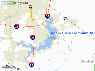
Lincoln Land Community College Heliport |
Location
& QuickFacts
|
FAA
Information Effective: |
2007-12-20 |
|
Airport
Identifier: |
IL47 |
|
Airport
Status: |
Operational |
|
Longitude/Latitude: |
089-36-15.3470W/39-43-23.1820N
-89.604263/39.723106 (Estimated) |
|
Elevation: |
580 ft / 176.78 m (Estimated) |
|
Land: |
0 acres |
|
From
nearest city: |
4 nautical miles SE of Springfield, IL |
|
Location: |
Sangamon County, IL |
|
Magnetic Variation: |
01E (1985) |
Owner & Manager
|
Ownership: |
Publicly owned |
|
Owner: |
Lincoln Lnd Community College |
|
Address: |
Shepherd Road
Springfield, IL 62794-9256 |
|
Phone number: |
217-786-2270 |
|
Manager: |
Mark D. Harbauch |
|
Address: |
Shepherd Road
Springfield, IL 62794-9256 |
|
Phone number: |
217-786-2270 |
Airport
Operations and Facilities
|
Airport
Use: |
Private |
|
Segmented Circle: |
No |
|
Control
Tower: |
No |
|
Sectional chart: |
St Louis |
|
Region: |
AGL - Great Lakes |
|
Boundary
ARTCC: |
ZKC - Kansas City |
|
Tie-in
FSS: |
STL - Saint Louis |
|
FSS
on Airport: |
No |
|
FSS
Toll Free: |
1-800-WX-BRIEF |
|
Runway Information
Helipad H1
|
Dimension: |
60
x 60 ft / 18.3 x 18.3 m |
|
Surface: |
TURF, |
|
|
Runway H1 |
Runway |
|
Traffic
Pattern: |
Left |
Left |
|
Radio Navigation
Aids
|
ID |
Type |
Name |
Ch |
Freq |
Var |
Dist |
|
SP |
NDB |
Huskk |
|
382.00 |
01W |
7.8 nm |
|
LQ |
NDB |
Licol |
|
375.00 |
01W |
11.4 nm |
|
TAZ |
NDB |
Taylorville |
|
395.00 |
00E |
17.2 nm |
|
AAA |
NDB |
Abraham |
|
329.00 |
00E |
29.0 nm |
|
LTD |
NDB |
Litchfield |
|
371.00 |
01E |
33.7 nm |
|
SYZ |
NDB |
Shelbyville |
|
365.00 |
01E |
40.0 nm |
|
IJX |
VOR/DME |
Jacksonville |
023X |
108.60 |
02E |
29.5 nm |
|
SPI |
VORTAC |
Spinner |
74X |
112.70 |
01W |
7.8 nm |
|
CAP |
VORTAC |
Capital |
074X |
112.70 |
04E |
10.2 nm |
|
DEC |
VORTAC |
Decatur |
119X |
117.20 |
03E |
34.6 nm |
|
VLA |
VORTAC |
Vandalia |
090X |
114.30 |
04E |
43.0 nm |
Lincoln Land Community College Heliport
Address:
Sangamon County, IL
Tel:
217-786-2270
Images
and information placed above are from
http://www.airport-data.com/airport/IL47/
We
thank them for the data!
| General
Info |
| Country |
United
States |
| State |
ILLINOIS
|
| FAA ID |
IL47 |
| Latitude |
39-43-23.182N
|
| Longitude |
089-36-15.347W
|
| Elevation |
580 feet
|
| Near City |
SPRINGFIELD
|
We don't guarantee the information is fresh and accurate. The data may
be wrong or outdated.
For more up-to-date information please refer to other sources.
|
|


