 |
|
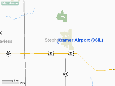
Location
& QuickFacts
|
FAA
Information Effective: |
2007-12-20 |
|
Airport
Identifier: |
96IL |
|
Airport
Status: |
Operational |
|
Longitude/Latitude: |
089-50-45.4350W/42-22-30.0500N
-89.845954/42.375014 (Estimated) |
|
Elevation: |
930 ft / 283.46 m (Estimated) |
|
Land: |
0 acres |
|
From
nearest city: |
1 nautical miles W of Lena, IL |
|
Location: |
Stephenson County, IL |
|
Magnetic Variation: |
01W (1990) |
Owner
& Manager
|
Ownership: |
Privately
owned |
|
Owner: |
Gary L. Kramer |
|
Address: |
12139 W. Howardsville Rd
Lena, IL 61048 |
|
Phone
number: |
815-369-4406 |
|
Manager: |
Gary L. Kramer |
|
Address: |
12139 W. Howardsville Rd
Lena, IL 61048 |
|
Phone number: |
815-369-4406 |
Airport Operations and Facilities
|
Airport Use: |
Private |
|
Segmented Circle: |
No |
|
Control Tower: |
No |
|
Sectional chart: |
Chicago |
|
Region: |
AGL - Great Lakes |
|
Boundary ARTCC: |
ZAU - Chicago |
|
Tie-in FSS: |
IKK - Kankakee |
|
FSS Toll Free: |
1-800-WX-BRIEF |
Airport
Communications
|
Runway Information
Runway 18/36
|
Dimension: |
2400
x 70 ft / 731.5 x 21.3 m |
|
Surface: |
TURF, |
|
|
Runway 18 |
Runway 36 |
|
Traffic
Pattern: |
Left |
Left |
|
Displaced
threshold: |
200.00 ft |
200.00 ft |
|
Obstruction: |
, 225.0 ft from runway |
25 ft pline, 400.0 ft from runway |
|
Radio Navigation
Aids
|
ID |
Type |
Name |
Ch |
Freq |
Var |
Dist |
|
FEP |
NDB |
Freeport |
|
335.00 |
00E |
13.9
nm |
|
PVB |
NDB |
Platteville |
|
203.00 |
01E |
32.2
nm |
|
MRJ |
NDB |
Mineral
Point |
|
365.00 |
00W |
35.1
nm |
|
JVL |
NDB |
Janesville |
|
375.00 |
03E |
38.5
nm |
|
CWI |
NDB |
Clinton |
|
377.00 |
01E |
39.2
nm |
|
BOZ |
NDB |
Whiteside |
|
254.00 |
01E |
40.0
nm |
|
OQW |
NDB |
Maquoketa |
|
386.00 |
02E |
44.3
nm |
|
MS |
NDB |
Monah |
|
400.00 |
00E |
46.9
nm |
|
PLL |
VOR/DME |
Polo |
049X |
111.20 |
03E |
28.5
nm |
|
RFD |
VOR/DME |
Rockford |
045X |
110.80 |
01E |
30.1
nm |
|
JVL |
VOR/DME |
Janesville |
090X |
114.30 |
03E |
34.6
nm |
|
DBQ |
VORTAC |
Dubuque |
105X |
115.80 |
04E |
38.4
nm |
|
CVA |
VORTAC |
Davenport |
085X |
113.80 |
04E |
49.1
nm |
Kramer Airport
Address:
Stephenson County, IL
Tel:
815-369-4406
Images
and information placed above are from
http://www.airport-data.com/airport/96IL/
We
thank them for the data!
| General
Info |
| Country |
United
States |
| State |
ILLINOIS
|
| FAA ID |
96IL |
| Latitude |
42-22-30.050N
|
| Longitude |
089-50-45.435W
|
| Elevation |
930 feet
|
| Near City |
LENA |
We don't guarantee the information is fresh and accurate. The data may
be wrong or outdated.
For more up-to-date information please refer to other sources.
|
|


