 |
|
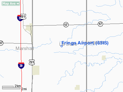
Location
& QuickFacts
|
FAA
Information Effective: |
2007-12-20 |
|
Airport
Identifier: |
65IS |
|
Airport
Status: |
Operational |
|
Longitude/Latitude: |
088-59-01.2830W/41-01-26.1160N
-88.983690/41.023921 (Estimated) |
|
Elevation: |
675 ft / 205.74 m (Estimated) |
|
Land: |
3 acres |
|
From
nearest city: |
0 nautical miles W of Leeds, IL |
|
Location: |
La Salle County, IL |
|
Magnetic
Variation: |
00E (1985) |
Owner
& Manager
|
Ownership: |
Privately
owned |
|
Owner: |
Clem Frings |
|
Address: |
Rfd
Wenona, IL 61377 |
|
Phone
number: |
815-853-4305 |
|
Manager: |
Clem Frings |
|
Address: |
Rfd
Wenona, IL 61377 |
|
Phone
number: |
815-853-4305 |
Airport
Operations and Facilities
|
Airport
Use: |
Private |
|
Wind
indicator: |
Yes |
|
Segmented Circle: |
No |
|
Control
Tower: |
No |
|
Sectional chart: |
Chicago |
|
Region: |
AGL - Great Lakes |
|
Boundary
ARTCC: |
ZAU - Chicago |
|
Tie-in
FSS: |
IKK - Kankakee |
|
FSS
Toll Free: |
1-800-WX-BRIEF |
|
Runway Information
Runway 09/27
|
Dimension: |
2300
x 90 ft / 701.0 x 27.4 m |
|
Surface: |
TURF, |
|
|
Runway 09 |
Runway 27 |
|
Traffic
Pattern: |
Right |
Right |
|
Obstruction: |
30 ft pline, 300.0 ft from runway |
|
|
Radio Navigation
Aids
|
ID |
Type |
Name |
Ch |
Freq |
Var |
Dist |
|
OIX |
NDB |
Ottawa |
|
266.00 |
01E |
21.2 nm |
|
VYS |
NDB |
Valley |
|
230.00 |
00W |
21.2 nm |
|
PI |
NDB |
Tungg |
|
356.00 |
01E |
37.4 nm |
|
EZI |
NDB |
Kewanee |
|
245.00 |
01E |
45.4 nm |
|
PNT |
VOR/DME |
Pontiac |
033X |
109.60 |
03E |
16.7 nm |
|
BMI |
VOR/DME |
Bloomington |
019X |
108.20 |
03E |
32.7 nm |
|
RBS |
VOR/DME |
Roberts |
115X |
116.80 |
02E |
45.8 nm |
|
BDF |
VORTAC |
Bradford |
094X |
114.70 |
00E |
28.6 nm |
|
PIA |
VORTAC |
Peoria |
099X |
115.20 |
04E |
42.2 nm |
|
JOT |
VORTAC |
Joliet |
070X |
112.30 |
02E |
43.5 nm |
Frings Airport
Address:
La Salle County, IL
Tel:
815-853-4305
Images
and information placed above are from
http://www.airport-data.com/airport/65IS/
We
thank them for the data!
| General
Info |
| Country |
United
States |
| State |
ILLINOIS
|
| FAA ID |
65IS |
| Latitude |
41-01-26.116N
|
| Longitude |
088-59-01.283W
|
| Elevation |
675 feet
|
| Near City |
LEEDS
|
We don't guarantee the information is fresh and accurate. The data may
be wrong or outdated.
For more up-to-date information please refer to other sources.
|
|


