 |
|
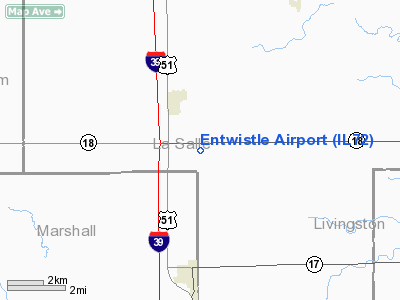
Location
& QuickFacts
|
FAA
Information Effective: |
2007-12-20 |
|
Airport
Identifier: |
IL72 |
|
Airport
Status: |
Operational |
|
Longitude/Latitude: |
089-02-41.2910W/41-06-56.1210N
-89.044803/41.115589 (Estimated) |
|
Elevation: |
700 ft / 213.36 m (Estimated) |
|
Land: |
2 acres |
|
From
nearest city: |
2 nautical miles SE of Lostant, IL |
|
Location: |
La Salle County, IL |
|
Magnetic
Variation: |
00E (1985) |
Owner
& Manager
|
Ownership: |
Privately
owned |
|
Owner: |
William Entwistle |
|
Address: |
Route 1
Magnolia, IL 61336 |
|
Phone
number: |
815-862-7314 |
|
Address: |
|
Airport
Operations and Facilities
|
Airport
Use: |
Private
PERSONAL USE |
|
Segmented Circle: |
No |
|
Control
Tower: |
No |
|
Sectional chart: |
Chicago |
|
Region: |
AGL - Great Lakes |
|
Boundary
ARTCC: |
ZAU - Chicago |
|
Tie-in
FSS: |
IKK - Kankakee |
|
FSS
Toll Free: |
1-800-WX-BRIEF |
|
Runway Information
Runway 18/36
|
Dimension: |
2200
x 75 ft / 670.6 x 22.9 m |
|
Surface: |
TURF, |
|
|
Runway 18 |
Runway 36 |
|
Traffic
Pattern: |
Left |
Left |
|
Displaced
threshold: |
400.00 ft |
50.00 ft |
|
Obstruction: |
22 ft pline, 400.0 ft from runway |
|
|
Radio Navigation
Aids
|
ID |
Type |
Name |
Ch |
Freq |
Var |
Dist |
|
VYS |
NDB |
Valley |
|
230.00 |
00W |
15.1 nm |
|
OIX |
NDB |
Ottawa |
|
266.00 |
01E |
17.2 nm |
|
PI |
NDB |
Tungg |
|
356.00 |
01E |
39.5 nm |
|
EZI |
NDB |
Kewanee |
|
245.00 |
01E |
41.7 nm |
|
BOZ |
NDB |
Whiteside |
|
254.00 |
01E |
49.0 nm |
|
PNT |
VOR/DME |
Pontiac |
033X |
109.60 |
03E |
22.6 nm |
|
BMI |
VOR/DME |
Bloomington |
019X |
108.20 |
03E |
38.5 nm |
|
BDF |
VORTAC |
Bradford |
094X |
114.70 |
00E |
24.7 nm |
|
JOT |
VORTAC |
Joliet |
070X |
112.30 |
02E |
41.8 nm |
|
PIA |
VORTAC |
Peoria |
099X |
115.20 |
04E |
42.9 nm |
Remarks
- PROVIDED
20:1 APPROACH SURFACE SLOPE IS MAINTAINED.
Based Aircraft
|
Aircraft
based on field: |
1 |
|
Single
Engine Airplanes: |
1 |
Entwistle Airport
Address:
La Salle County, IL
Tel:
815-862-7314
Images
and information placed above are from
http://www.airport-data.com/airport/IL72/
We
thank them for the data!
| General
Info |
| Country |
United
States |
| State |
ILLINOIS
|
| FAA ID |
IL72 |
| Latitude |
41-06-56.121N
|
| Longitude |
089-02-41.291W
|
| Elevation |
700 feet
|
| Near City |
LOSTANT
|
We don't guarantee the information is fresh and accurate. The data may
be wrong or outdated.
For more up-to-date information please refer to other sources.
|
|


