 |
|
Location
& QuickFacts
|
FAA
Information Effective: |
2007-07-05 |
|
Airport
Identifier: |
0IS6 |
|
Airport
Status: |
Operational |
|
Longitude/Latitude: |
089-09-49.0000W/37-21-56.0000N
-89.163611/37.365556 (Estimated) |
|
Elevation: |
383 ft / 116.74 m (Estimated) |
|
Land: |
0 acres |
|
From
nearest city: |
0 nautical miles N of Dongola, IL |
|
Location: |
Union County, IL |
|
Magnetic Variation: |
00E (1995) |
Owner & Manager
|
Ownership: |
Privately owned |
|
Owner: |
Village Of Dongal |
|
Address: |
Box 534
Dongola, IL 62926 |
|
Phone number: |
618-964-1441 |
|
Manager: |
Steve Corzine |
|
Address: |
Box 534
Dongola, IL 62926 |
|
Phone number: |
618-964-1441 |
Airport
Operations and Facilities
|
Airport
Use: |
Private |
|
Segmented Circle: |
No |
|
Control
Tower: |
No |
|
Lighting
Schedule: |
RDO-CTL
FOR PERIMETER LGTS CALL 618-964-1441 EXTN 375. |
|
Sectional chart: |
St Louis |
|
Region: |
AGL - Great Lakes |
|
Boundary
ARTCC: |
ZME - Memphis |
|
Tie-in
FSS: |
COU - Columbia |
|
FSS
Toll Free: |
1-800-WX-BRIEF |
|
Runway Information
Helipad H1
|
Dimension: |
100
x 100 ft / 30.5 x 30.5 m |
|
Surface: |
CONC, |
|
|
Runway H1 |
Runway |
|
Traffic
Pattern: |
Left |
Left |
|
Radio Navigation
Aids
|
ID |
Type |
Name |
Ch |
Freq |
Var |
Dist |
|
CIR |
NDB |
Cairo |
|
397.00 |
00E |
18.5 nm |
|
BDD |
NDB |
Bellgrade |
|
254.00 |
00E |
27.0 nm |
|
CHQ |
NDB |
Charleston |
|
208.00 |
01E |
32.6 nm |
|
PJY |
NDB |
Pinckneyville |
|
215.00 |
00E |
37.8 nm |
|
HSB |
NDB |
Harrisburg-raleigh |
|
230.00 |
00E |
39.8 nm |
|
GGK |
NDB |
Mayfield |
|
401.00 |
00E |
48.9 nm |
|
CGI |
VOR/DME |
Cape Girardeau |
076X |
112.90 |
01E |
21.2 nm |
|
MWA |
VOR/DME |
Marion |
041X |
110.40 |
04E |
24.5 nm |
|
CNG |
VORTAC |
Cunningham |
078X |
113.10 |
03E |
26.6 nm |
Remarks
- SEE
AIRSPACE CASE 98-AGL-225-NRA.
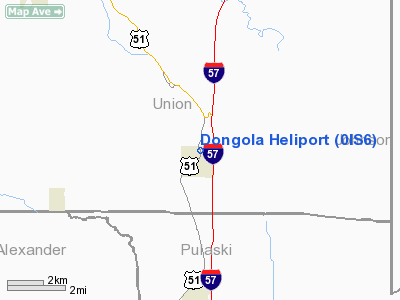
Dongola Heliport
Address:
Union County, IL
Tel:
618-964-1441
Images
and information placed above are from
http://www.airport-data.com/airport/0IS6/
We
thank them for the data!
| General
Info |
| Country |
United
States |
| State |
ILLINOIS
|
| FAA ID |
0IS6 |
| Latitude |
37-21-56.000N
|
| Longitude |
089-09-49.000W
|
| Elevation |
383 feet
|
| Near City |
DONGOLA
|
We don't guarantee the information is fresh and accurate. The data may
be wrong or outdated.
For more up-to-date information please refer to other sources.
|
|


