|
|
|
 |
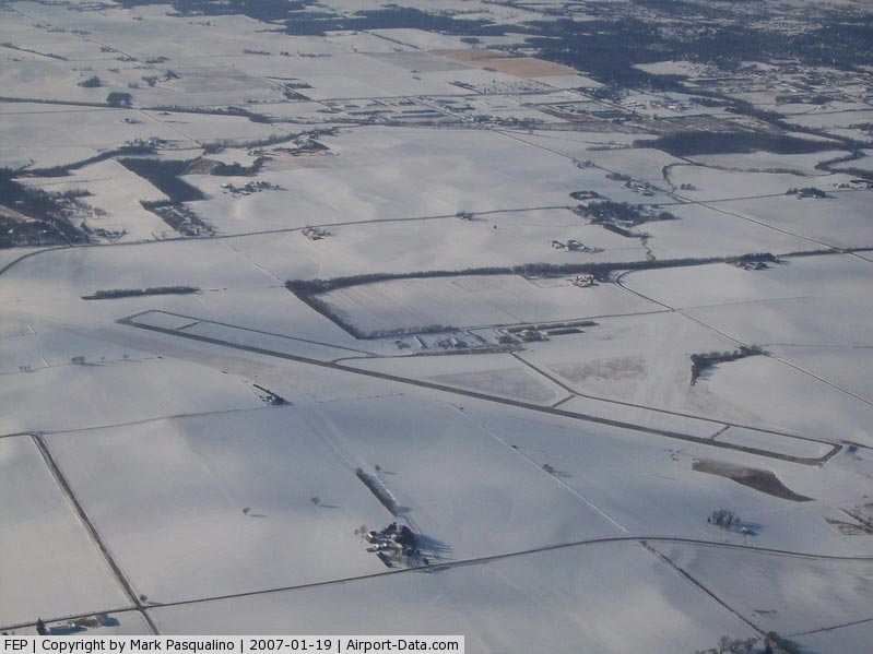
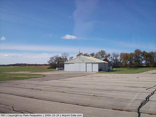
(Click on the photo to enlarge) |
|
 |
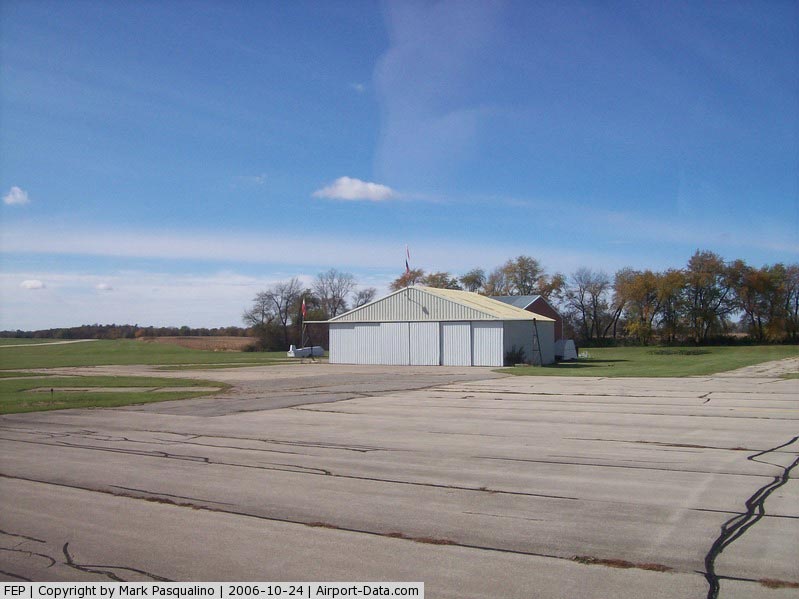
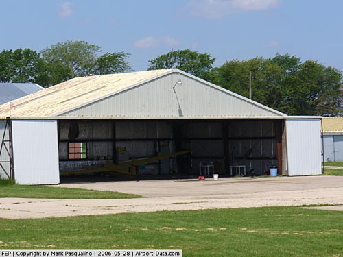
(Click on the photo to enlarge) |
|
 |
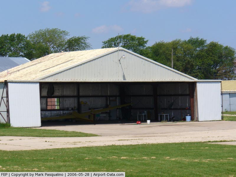
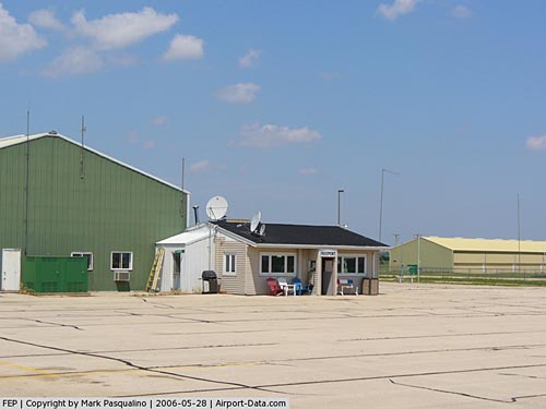
(Click on the photo to enlarge) |
|
 |
(Click on the photo to enlarge) |
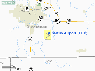
Location
& QuickFacts
|
FAA
Information Effective: |
2007-07-05 |
|
Airport
Identifier: |
FEP |
|
Airport
Status: |
Operational |
|
Longitude/Latitude: |
089-34-55.1520W/42-14-46.1710N
-89.581987/42.246159 (Estimated) |
|
Elevation: |
859 ft / 261.82 m (Surveyed) |
|
Land: |
188 acres |
|
From
nearest city: |
3 nautical miles SE of Freeport, IL |
|
Location: |
Stephenson County, IL |
|
Magnetic Variation: |
00E (1995) |
Owner
& Manager
|
Ownership: |
Publicly
owned |
|
Owner: |
City Of Freeport |
|
Address: |
City Hall 230 W Stephenson
Freeport, IL 61032 |
|
Phone
number: |
815-235-8200 |
|
Manager: |
Darrell Janssen |
|
Address: |
1255 E Airport Road
Freeport, IL 61032 |
|
Phone number: |
815-232-1078 |
Airport Operations and Facilities
|
Airport
Use: |
Open
to public |
|
Wind
indicator: |
Yes |
|
Segmented Circle: |
Yes |
|
Control
Tower: |
No |
|
Lighting
Schedule: |
DUSK-DAWN
MIRL RY 06/24 & TWY LGTS PRESET ON LOW INTST SS-SR;
TO INCR INTST & ACTVT REIL RYS 06 & 24 - CTAF.
PAPI
RYS 06 & 24 OPERATE CONTINUOUSLY. |
|
Beacon
Color: |
Clear-Green (lighted land airport) |
|
Landing
fee charge: |
No |
|
Sectional chart: |
Chicago |
|
Region: |
AGL - Great Lakes |
|
Boundary
ARTCC: |
ZAU - Chicago |
|
Tie-in
FSS: |
IKK - Kankakee |
|
FSS
on Airport: |
No |
|
FSS
Toll Free: |
1-800-WX-BRIEF |
|
NOTAMs
Facility: |
FEP (NOTAM-d service avaliable) |
|
Federal Agreements: |
NGY |
Airport Communications
|
CTAF: |
122.800 |
|
Unicom: |
122.800
|
Airport
Services
|
Fuel
available: |
100LLA |
|
Airframe
Repair: |
MAJOR |
|
Power
Plant Repair: |
MAJOR |
|
Bottled
Oxygen: |
NONE |
|
Bulk
Oxygen: |
NONE |
|
Runway Information
Runway 06/24
|
Dimension: |
5504
x 100 ft / 1677.6 x 30.5 m |
|
Surface: |
ASPH, Good Condition |
|
Surface
Treatment: |
Saw-cut or plastic Grooved |
|
Weight
Limit: |
Single wheel: 20000 lbs.
Dual wheel: 60000 lbs. |
|
Edge
Lights: |
Medium
& 18/36 HAVE REFLECTORS ON BOTH SIDES. |
|
|
Runway 06 |
Runway 24 |
|
Longitude: |
089-35-24.3809W |
089-34-25.0269W |
|
Latitude: |
42-14-23.7959N |
42-14-55.5871N |
|
Elevation: |
859.00 ft |
841.00 ft |
|
Alignment: |
54 |
127 |
|
ILS
Type: |
|
LOC/DME |
|
Traffic
Pattern: |
Left |
Left |
|
Markings: |
Non-precision instrument, Good Condition |
Non-precision instrument, Good Condition |
|
Crossing
Height: |
40.00 ft |
40.00 ft |
|
VASI: |
4-light PAPI on left side |
4-light PAPI on left side |
|
Visual
Glide Angle: |
3.00° |
3.00° |
|
Runway
End Identifier: |
Yes
OTS INDEFLY. |
Yes
RY 24 REIL OTS INDEFLY. |
|
Centerline
Lights: |
No |
No |
|
Touchdown
Lights: |
No |
No |
|
Obstruction: |
49 ft tree, 1554.0 ft from runway, 372 ft left
of centerline, 27:1 slope to clear |
, 50:1 slope to clear |
|
Runway 13/31
|
Dimension: |
2285
x 150 ft / 696.5 x 45.7 m |
|
Surface: |
TURF, Good Condition |
|
|
Runway 13 |
Runway 31 |
|
Longitude: |
089-35-04.4789W |
089-34-39.9126W |
|
Latitude: |
42-15-02.7778N |
42-14-49.5069N |
|
Elevation: |
835.00 ft |
841.00 ft |
|
Alignment: |
126 |
127 |
|
Traffic
Pattern: |
Left |
Left |
|
Markings: |
None,
/31 THLDS MKD WITH IN-GROUND CONC MARKERS. |
None, |
|
Runway
End Identifier: |
No |
No |
|
Centerline
Lights: |
No |
No |
|
Touchdown
Lights: |
No |
No |
|
Obstruction: |
13 ft road, 286.0 ft from runway, 152 ft left
of centerline, 22:1 slope to clear |
, 50:1 slope to clear |
|
Runway 18/36
|
Dimension: |
2496
x 150 ft / 760.8 x 45.7 m |
|
Surface: |
TURF, Good Condition |
|
|
Runway 18 |
Runway 36 |
|
Longitude: |
089-34-59.0768W |
089-34-58.6085W |
|
Latitude: |
42-15-03.6571N |
42-14-39.0006N |
|
Elevation: |
834.00 ft |
845.00 ft |
|
Alignment: |
127 |
127 |
|
Traffic
Pattern: |
Left |
Left |
|
Markings: |
None,
/36 THLDS MKD WITH IN-GROUND CONC MARKERS. |
None, |
|
Runway
End Identifier: |
No |
No |
|
Centerline
Lights: |
No |
No |
|
Touchdown
Lights: |
No |
No |
|
Obstruction: |
6 ft road, 200.0 ft from runway, 143 ft left
of centerline, 33:1 slope to clear |
72 ft tree, 3212.0 ft from runway, 443 ft left
of centerline, 44:1 slope to clear |
|
Radio Navigation
Aids
|
ID |
Type |
Name |
Ch |
Freq |
Var |
Dist |
|
FEP |
NDB |
Freeport |
|
335.00 |
00E |
0.2 nm |
|
JVL |
NDB |
Janesville |
|
375.00 |
03E |
32.7 nm |
|
BOZ |
NDB |
Whiteside |
|
254.00 |
01E |
33.4 nm |
|
CWI |
NDB |
Clinton |
|
377.00 |
01E |
41.7 nm |
|
DKB |
NDB |
Dekalb |
|
209.00 |
02W |
43.3 nm |
|
PVB |
NDB |
Platteville |
|
203.00 |
01E |
46.3 nm |
|
MRJ |
NDB |
Mineral Point |
|
365.00 |
00W |
48.0 nm |
|
PLL |
VOR/DME |
Polo |
049X |
111.20 |
03E |
17.1 nm |
|
RFD |
VOR/DME |
Rockford |
045X |
110.80 |
01E |
17.1 nm |
|
JVL |
VOR/DME |
Janesville |
090X |
114.30 |
03E |
28.3 nm |
Remarks
- ULTRALIGHT
& GLIDER ACTIVITY ON & INVOF ARPT.
Based Aircraft
|
Aircraft
based on field: |
93 |
|
Single
Engine Airplanes: |
61 |
|
Multi
Engine Airplanes: |
8 |
|
Jet
Engine Airplanes: |
2 |
|
Gliders: |
10 |
|
Ultralights: |
12 |
Operational Statistics
Time Period: 2005-01-01
- 2005-12-31
|
Aircraft
Operations: |
55/Day |
|
General
Aviation Local: |
60.0% |
|
General
Aviation Itinerant: |
40.0% |
Albertus Airport
Address:
Stephenson County, IL
Tel:
815-235-8200,
815-232-1078
Images
and information placed above are from
http://www.airport-data.com/airport/FEP/
We
thank them for the data!
| General
Info |
| Country |
United
States |
| State |
ILLINOIS
|
| FAA ID |
FEP |
| Latitude |
42-14-46.171N
|
| Longitude |
089-34-55.152W
|
| Elevation |
859 feet
|
| Near City |
FREEPORT
|
We don't guarantee the information is fresh and accurate. The data may
be wrong or outdated.
For more up-to-date information please refer to other sources.
|
|