 |
|
|
|
|
|
Location
& QuickFacts
|
FAA
Information Effective: |
2007-07-05 |
|
Airport
Identifier: |
2U8 |
|
Airport
Status: |
Operational |
|
Longitude/Latitude: |
115-00-12.3490W/44-43-34.6740N
-115.003430/44.726298 (Estimated) |
|
Elevation: |
4400 ft / 1341.12 m (Estimated) |
|
Land: |
50 acres |
|
From
nearest city: |
31 nautical miles N of Stanley, ID |
|
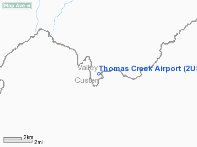
Location: |
Valley County, ID |
|
Magnetic
Variation: |
17E (1985) |
Owner
& Manager
|
Ownership: |
Publicly
owned |
|
Owner: |
State Of Id, Itd, Div Aero |
|
Address: |
Po Box 7129
Boise, ID 83707-1129 |
|
Phone
number: |
208-334-8775 |
|
Manager: |
Div Admin |
|
Address: |
Po Box 7129
Boise, ID 83707-1129 |
|
Phone
number: |
208-334-8775 |
Airport
Operations and Facilities
|
Airport
Use: |
Open
to public |
|
Wind
indicator: |
Yes |
|
Segmented Circle: |
No |
|
Control
Tower: |
No |
|
Landing
fee charge: |
No |
|
Sectional chart: |
Great Falls |
|
Region: |
ANM - Northwest Mountain |
|
Boundary
ARTCC: |
ZLC - Salt Lake City |
|
Tie-in
FSS: |
BOI - Boise |
|
FSS
on Airport: |
No |
|
FSS
Phone: |
208-332-0200 |
|
FSS
Toll Free: |
1-800-WX-BRIEF |
|
NOTAMs
Facility: |
BOI (NOTAM-d service avaliable) |
Airport
Communications
Airport
Services
|
Airframe
Repair: |
NONE |
|
Power
Plant Repair: |
NONE |
|
Bottled
Oxygen: |
NONE |
|
Bulk
Oxygen: |
NONE |
|
Runway Information
Runway 03/21
|
Dimension: |
2100 x 75 ft / 640.1 x 22.9 m
USBL WIDTH MAY VARY FM 75 FT TO 100 FT. |
|
Surface: |
TURF-DIRT, Good Condition |
|
|
Runway 03 |
Runway 21 |
|
Traffic
Pattern: |
Left |
Left |
|
Obstruction: |
100 ft ridge, 100.0 ft from runway, 125 ft
left of centerline, 1:1 slope to clear |
10 ft tree, 150.0 ft from runway, 40 ft left
of centerline, 15:1 slope to clear |
|
Radio Navigation
Aids
|
ID |
Type |
Name |
Ch |
Freq |
Var |
Dist |
|
LLJ |
NDB |
Challis |
|
397.00 |
17E |
35.9 nm |
|
IOM |
NDB |
Mc Call |
|
363.00 |
17E |
47.1 nm |
|
LKT |
VOR/DME |
Salmon |
082X |
113.50 |
18E |
43.0 nm |
Remarks
- RCMD
LNDG RY 21-TKOF RY 03; GO-AROUND EXTREMELY DIFICULT.
- NO
WINTER MAINTENANCE.
- AIRCRAFT
LOADING AND UNLOADING AT THE SOUTH END OF RY 21.
- RY
03 FIRST 400 FT IS DOG LEG WITH A HEADING OF 360 DEG.
- CONSIDERABLE
AIR TAXI OPERATIONS MID TO LATE SUMMER.
- ARPT
IS LCTD ON PLATEAU 100-150 FT ABOVE RIVER.
- ESTABD
PRIOR TO 12/31/58.
Operational
Statistics
Time Period: 2006-04-07
- 2007-04-06
|
Aircraft
Operations: |
50/Week |
|
Air
Taxi: |
61.5% |
|
General
Aviation Itinerant: |
38.5% |
Thomas Creek Airport
Address:
Valley County, ID
Tel:
208-334-8775
Images
and information placed above are from
http://www.airport-data.com/airport/2U8/
We
thank them for the data!
| General
Info |
| Country |
United
States |
| State |
IDAHO
|
| FAA ID |
2U8 |
| Latitude |
44-43-34.674N
|
| Longitude |
115-00-12.349W
|
| Elevation |
4400 feet
|
| Near City |
STANLEY
|
We don't guarantee the information is fresh and accurate. The data may
be wrong or outdated.
For more up-to-date information please refer to other sources.
|
|


