 |
|
Location
& QuickFacts
|
FAA
Information Effective: |
2007-07-05 |
|
Airport
Identifier: |
ID56 |
|
Airport
Status: |
Operational |
|
Longitude/Latitude: |
114-02-37.1630W/43-58-54.6940N
-114.043656/43.981859 (Estimated) |
|
Elevation: |
6660 ft / 2029.97 m (Estimated) |
|
Land: |
6 acres |
|
From
nearest city: |
20 nautical miles WN of Mackay, ID |
|
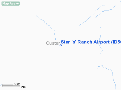
Location: |
Custer County, ID |
|
Magnetic
Variation: |
17E (1980) |
Owner
& Manager
|
Ownership: |
Privately
owned |
|
Owner: |
Star 's' Enterprises |
|
Address: |
245 N. Hooper
Soda Springs, ID 83276 |
|
Phone
number: |
208-547-4701 |
|
Manager: |
Rodger L. Sorensen |
|
Address: |
245 N. Hooper
Soda Springs, ID 83276 |
|
Phone
number: |
208-547-4701 |
Airport
Operations and Facilities
|
Airport
Use: |
Private |
|
Wind
indicator: |
Yes |
|
Segmented Circle: |
No |
|
Control
Tower: |
No |
|
Sectional chart: |
Salt Lake City |
|
Region: |
ANM - Northwest Mountain |
|
Traffic
Pattern Alt: |
840 ft |
|
Boundary
ARTCC: |
ZLC - Salt Lake City |
|
Tie-in
FSS: |
BOI - Boise |
|
FSS
Phone: |
208-332-0200 |
|
FSS
Toll Free: |
1-800-WX-BRIEF |
|
Runway Information
Runway 03/21
|
Dimension: |
5000
x 50 ft / 1524.0 x 15.2 m |
|
Surface: |
TURF, |
|
|
Runway 03 |
Runway 21 |
|
Traffic
Pattern: |
Left |
Right |
|
Radio Navigation
Aids
|
ID |
Type |
Name |
Ch |
Freq |
Var |
Dist |
|
LLJ |
NDB |
Challis |
|
397.00 |
17E |
33.1 nm |
|
AOC |
NDB |
Arco |
|
200.00 |
15E |
38.2 nm |
|
HLE |
NDB/DME |
Hailey |
025X |
220.00 |
16E |
40.2 nm |
Remarks
- RISING
MOUNTAINOUS TRRN ADJACENT (NORTHWEST & SOUTHEAST) TO ARPT.
- DETERMINATION
PENDING.
Based
Aircraft
|
Aircraft
based on field: |
1 |
|
Single
Engine Airplanes: |
1 |
Star 's' Ranch Airport
Address:
Custer County, ID
Tel:
208-547-4701
Images
and information placed above are from
http://www.airport-data.com/airport/ID56/
We
thank them for the data!
| General
Info |
| Country |
United
States |
| State |
IDAHO
|
| FAA ID |
ID56 |
| Latitude |
43-58-54.694N
|
| Longitude |
114-02-37.163W
|
| Elevation |
6660 feet
|
| Near City |
MACKAY
|
We don't guarantee the information is fresh and accurate. The data may
be wrong or outdated.
For more up-to-date information please refer to other sources.
|
|


