 |
|
Landmark U.S. Forest Service Airport |
|
|
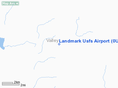
Location
& QuickFacts
|
FAA
Information Effective: |
2007-07-05 |
|
Airport
Identifier: |
0U0 |
|
Airport
Status: |
Operational |
|
Longitude/Latitude: |
115-32-00.4050W/44-38-32.6460N
-115.533446/44.642402 (Estimated) |
|
Elevation: |
6662 ft / 2030.58 m (Estimated) |
|
Land: |
19 acres |
|
From
nearest city: |
1 nautical miles SE of Landmark, ID |
|
Location: |
Valley County, ID |
|
Magnetic Variation: |
17E (1985) |
Owner
& Manager
|
Ownership: |
Publicly
owned |
|
Owner: |
Us Forest Service |
|
Address: |
324 25th St
Ogden, UT 84401 |
|
Phone
number: |
801-625-5511 |
|
Manager: |
Boise Natl Forest Air Officer |
|
Address: |
1249 S Vinnell Way
Boise, ID 83709 |
|
Phone number: |
208-373-4176 |
Airport Operations and Facilities
|
Airport
Use: |
Open
to public |
|
Wind
indicator: |
Yes |
|
Segmented Circle: |
No |
|
Control
Tower: |
No |
|
Landing
fee charge: |
No |
|
Sectional chart: |
Great Falls |
|
Region: |
ANM - Northwest Mountain |
|
Boundary
ARTCC: |
ZLC - Salt Lake City |
|
Tie-in
FSS: |
BOI - Boise |
|
FSS
on Airport: |
No |
|
FSS
Phone: |
208-332-0200 |
|
FSS
Toll Free: |
1-800-WX-BRIEF |
|
NOTAMs
Facility: |
BOI (NOTAM-d service avaliable) |
Airport Communications
Airport Services
|
Airframe
Repair: |
NONE |
|
Power
Plant Repair: |
NONE |
|
Bottled
Oxygen: |
NONE |
|
Bulk
Oxygen: |
NONE |
|
Runway Information
Runway 16/34
|
Dimension: |
4000
x 100 ft / 1219.2 x 30.5 m |
|
Surface: |
TURF-DIRT, Good Condition |
|
|
Runway 16 |
Runway 34 |
|
Traffic
Pattern: |
Left |
Left |
|
Obstruction: |
50 ft trees, 95 ft right of centerline |
45 ft tree, 0.0 ft from runway, 90 ft left
of centerline |
|
Radio Navigation
Aids
|
ID |
Type |
Name |
Ch |
Freq |
Var |
Dist |
|
IOM |
NDB |
Mc Call |
|
363.00 |
17E |
26.2 nm |
|
DNJ |
VORTAC |
Donnelly |
109X |
116.20 |
19E |
29.7 nm |
Remarks
- NO
WINTER MAINTENANCE.
- RY
16/34 NO LINE OF SIGHT BTN RY ENDS.
- ARPT
LCTD IN HIGH MTN VALLEY SURROUNDED BY HIGH TERRAIN.
- WILDLIFE
ON & INVOF ARPT.
- NO
TELEPHONE AVBL AT ARPT.
- VEHICLE
TRAFFIC ON AND INVOF ARPT.
- EXISTED
PRIOR TO 31 DEC 1958.
Operational
Statistics
Time Period: 2004-05-25
- 2005-05-24
|
Aircraft
Operations: |
20/Week |
|
Air
Taxi: |
10.0% |
|
General
Aviation Itinerant: |
90.0% |
Landmark U S Forest Service Airport
Address:
Valley County, ID
Tel:
801-625-5511,
208-373-4176
Images
and information placed above are from
http://www.airport-data.com/airport/0U0/
We
thank them for the data!
| General
Info |
| Country |
United
States |
| State |
IDAHO
|
| FAA ID |
0U0 |
| Latitude |
44-38-32.646N
|
| Longitude |
115-32-00.405W
|
| Elevation |
6662 feet
|
| Near City |
LANDMARK
|
We don't guarantee the information is fresh and accurate. The data may
be wrong or outdated.
For more up-to-date information please refer to other sources.
|
|


