 |
|
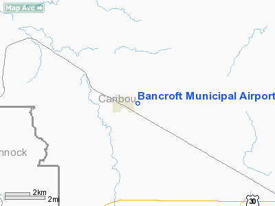
Bancroft Municipal Airport |
|
|
Location
& QuickFacts
|
FAA
Information Effective: |
2007-07-05 |
|
Airport
Identifier: |
U51 |
|
Airport
Status: |
Operational |
|
Longitude/Latitude: |
111-52-02.8430W/42-43-14.7060N
-111.867456/42.720752 (Estimated) |
|
Elevation: |
5435 ft / 1656.59 m (Estimated) |
|
Land: |
24 acres |
|
From
nearest city: |
1 nautical miles E of Bancroft, ID |
|
Location: |
Caribou County, ID |
|
Magnetic Variation: |
15E (1985) |
Owner
& Manager
|
Ownership: |
Publicly
owned |
|
Owner: |
City Of Bancroft |
|
Address: |
P O Box 39
Bancroft, ID 83217 |
|
Phone number: |
208-648-7648 |
|
Manager: |
George Hulse |
|
Address: |
1824 Lund Rd
Bancroft, ID 83217 |
|
Phone number: |
208-648-7304 |
Airport
Operations and Facilities
|
Airport
Use: |
Open
to public |
|
Wind
indicator: |
Yes |
|
Segmented Circle: |
No |
|
Control
Tower: |
No |
|
Landing
fee charge: |
No |
|
Sectional chart: |
Salt Lake City |
|
Region: |
ANM - Northwest Mountain |
|
Boundary
ARTCC: |
ZLC - Salt Lake City |
|
Tie-in
FSS: |
BOI - Boise |
|
FSS
on Airport: |
No |
|
FSS
Phone: |
208-332-0200 |
|
FSS
Toll Free: |
1-800-WX-BRIEF |
|
NOTAMs
Facility: |
BOI (NOTAM-d service avaliable) |
Airport Communications
Airport Services
|
Airframe
Repair: |
NONE |
|
Power
Plant Repair: |
NONE |
|
Bottled
Oxygen: |
NONE |
|
Bulk
Oxygen: |
NONE |
|
Runway Information
Runway 07/25
|
Dimension: |
3280
x 30 ft / 999.7 x 9.1 m |
|
Surface: |
GRVL, Fair Condition |
|
|
Runway 07 |
Runway 25 |
|
Traffic
Pattern: |
Left |
Left |
|
Obstruction: |
17 ft road, 100 ft left of centerline |
, 50:1 slope to clear |
|
Radio Navigation
Aids
|
ID |
Type |
Name |
Ch |
Freq |
Var |
Dist |
|
SWU |
NDB |
Sweden |
|
350.00 |
15E |
44.7 nm |
|
MLD |
VOR/DME |
Malad City |
121X |
117.40 |
17E |
40.6 nm |
|
IDA |
VOR/DME |
Idaho Falls |
85Y |
113.85 |
15E |
48.7 nm |
|
PIH |
VORTAC |
Pocatello |
073X |
112.60 |
17E |
35.8 nm |
Remarks
- NO
WINTER MAINTENANCE.
- CTN:
UNMARKED TURF CROSSWIND LANDING AREA LOCATED SE ADJACENT TO RWY.
- ESTABD
PRIOR TO 15 MAY 1959.
Based
Aircraft
|
Aircraft
based on field: |
2 |
|
Single
Engine Airplanes: |
2 |
Operational Statistics
Time Period: 2004-06-25
- 2005-06-24
|
Aircraft
Operations: |
42/Week |
|
General
Aviation Local: |
7.0% |
|
General
Aviation Itinerant: |
93.0% |
Bancroft Municipal Airport
Address:
Caribou County, ID
Tel:
208-648-7648, 208-648-7304
Images
and information placed above are from
http://www.airport-data.com/airport/U51/
We
thank them for the data!
| General
Info |
| Country |
United
States |
| State |
IDAHO
|
| FAA ID |
U51 |
| Latitude |
42-43-14.706N
|
| Longitude |
111-52-02.843W
|
| Elevation |
5435 feet
|
| Near City |
BANCROFT
|
We don't guarantee the information is fresh and accurate. The data may
be wrong or outdated.
For more up-to-date information please refer to other sources.
|
|


