 |
|
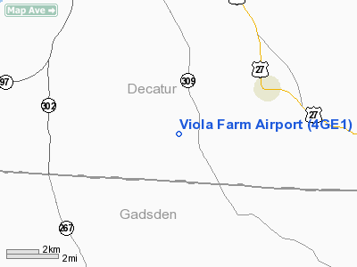
Location
& QuickFacts
|
FAA Information Effective: |
2007-07-05 |
|
Airport
Identifier: |
4GE1 |
|
Airport
Status: |
Operational |
|
Longitude/Latitude: |
084-32-28.0000W/30-43-25.5000N
-84.541111/30.723750 (Estimated) |
|
Elevation: |
285 ft / 86.87 m (Estimated) |
|
Land: |
20
acres |
|
From
nearest city: |
3 nautical miles SW of Attapulgus, GA |
|
Location: |
Decatur County, GA |
|
Magnetic Variation: |
03W (2000) |
Owner
& Manager
|
Ownership: |
Privately owned |
|
Owner: |
Curtis Ward |
|
Address: |
P.o. Box 38341
Tallahassee, FL 32315 |
|
Phone
number: |
912-465-3570 |
|
Manager: |
Curtis Ward |
|
Address: |
P.o. Box 38341
Tallahassee, FL 32315 |
|
Phone number: |
912-465-3570 |
Airport
Operations and Facilities
|
Airport Use: |
Private |
|
Wind
indicator: |
Yes |
|
Segmented
Circle: |
No |
|
Control
Tower: |
No |
|
Sectional
chart: |
Jacksonville |
|
Region: |
ASO - Southern |
|
Boundary
ARTCC: |
ZJX - Jacksonville |
|
Tie-in
FSS: |
MCN - Macon |
|
FSS
Toll Free: |
1-800-WX-BRIEF |
|
Runway Information
Runway 08/26
|
Dimension: |
2200 x 100 ft / 670.6 x 30.5 m |
|
Surface: |
TURF, |
|
|
Runway 08 |
Runway 26 |
|
Traffic
Pattern: |
Left |
Left |
|
Obstruction: |
|
30 ft trees, 10.0 ft from runway |
|
Radio Navigation
Aids
|
ID |
Type |
Name |
Ch |
Freq |
Var |
Dist |
|
LYZ |
NDB |
Willis |
|
359.00 |
01W |
15.0 nm |
|
CYR |
NDB |
Caidy |
|
338.00 |
01W |
22.1 nm |
|
TL |
NDB |
Wakul |
|
379.00 |
01W |
25.7 nm |
|
CXU |
NDB |
Camilla |
|
369.00 |
02W |
33.4 nm |
|
SMY |
NDB |
Soyya |
|
329.00 |
02W |
36.4 nm |
|
GTP |
NDB |
Patten |
|
245.00 |
02W |
39.5 nm |
|
AB |
NDB |
Putny |
|
227.00 |
02W |
46.1 nm |
|
IWJ |
NDB |
Blaak |
|
344.00 |
03W |
46.3 nm |
|
MGR |
VOR/DME |
Moultrie |
025X |
108.80 |
02W |
43.7 nm |
|
SZW |
VORTAC |
Seminole |
122X |
117.50 |
02E |
13.3 nm |
|
MAI |
VORTAC |
Marianna |
087X |
114.00 |
00E |
30.4 nm |
|
GEF |
VORTAC |
Greenville |
027X |
109.00 |
01E |
40.5 nm |
|
TLH |
VOT |
Tallahassee Muni |
|
111.00 |
|
21.7 nm |
Remarks
Viola Farm Airport
Address:
Decatur County, GA
Tel:
912-465-3570
Images
and information placed above are from
http://www.airport-data.com/airport/4GE1/
We
thank them for the data!
| General
Info |
| Country |
United
States |
| State |
GEORGIA
|
| FAA ID |
4GE1
|
| Latitude |
30-43-25.500N
|
| Longitude |
084-32-28.000W
|
| Elevation |
285 feet
|
| Near City |
ATTAPULGUS
|
We don't guarantee the information is fresh and accurate. The data may
be wrong or outdated.
For more up-to-date information please refer to other sources.
|
|


