 |
|
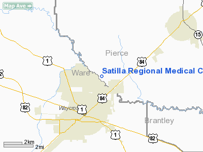
Satilla Regional Medical Center Heliport |
Location
& QuickFacts
|
FAA Information Effective: |
2007-07-05 |
|
Airport
Identifier: |
GA60 |
|
Airport
Status: |
Operational |
|
Longitude/Latitude: |
082-20-08.0000W/31-15-05.0000N
-82.335556/31.251389 (Estimated) |
|
Elevation: |
40
ft / 12.19 m (Estimated) |
|
Land: |
0
acres |
|
From
nearest city: |
0 nautical miles N of Waycross, GA |
|
Location: |
Ware County, GA |
|
Magnetic Variation: |
03W (1985) |
Owner
& Manager
|
Ownership: |
Publicly owned |
|
Owner: |
Ware County Hospital Authority |
|
Address: |
410 Darling Avenue
Waycross, GA 31501 |
|
Phone number: |
912-287-2600 |
|
Manager: |
James R. Griffin |
|
Address: |
410 Darling Avenue
Waycross, GA 31501 |
|
Phone number: |
912-287-2600 |
Airport
Operations and Facilities
|
Airport Use: |
Private
MEDICAL USE. |
|
Segmented
Circle: |
No |
|
Control
Tower: |
No |
|
Lighting
Schedule: |
PHONE REQ
FOR PERIMETER LGTS CALL (912) 287-2601. |
|
Sectional
chart: |
Jacksonville |
|
Region: |
ASO - Southern |
|
Boundary
ARTCC: |
ZJX - Jacksonville |
|
Tie-in
FSS: |
MCN - Macon |
|
FSS
Toll Free: |
1-800-WX-BRIEF |
|
Runway Information
Helipad H1
|
Dimension: |
100 x 75 ft / 30.5 x 22.9 m |
|
Surface: |
ASPH, |
|
|
Runway H1 |
Runway |
|
Traffic
Pattern: |
Left |
Left |
|
Radio Navigation
Aids
|
ID |
Type |
Name |
Ch |
Freq |
Var |
Dist |
|
HOE |
NDB |
Homerville |
|
209.00 |
03W |
25.4 nm |
|
BHC |
NDB |
Baxley |
|
376.00 |
04W |
27.8 nm |
|
JES |
NDB |
Slover |
|
340.00 |
04W |
29.3 nm |
|
OWC |
NDB |
Coffee County |
|
390.00 |
03W |
31.6 nm |
|
AZE |
NDB |
Hazlehurst |
|
414.00 |
03W |
41.0 nm |
|
JUK |
NDB |
Mc Kinnon |
|
353.00 |
05W |
49.0 nm |
|
RVJ |
NDB |
Prison |
|
424.00 |
03W |
49.4 nm |
|
AYS |
VORTAC |
Waycross |
039X |
110.20 |
00E |
11.4 nm |
|
AMG |
VORTAC |
Alma |
098X |
115.10 |
00E |
19.3 nm |
|
TAY |
VORTAC |
Taylor |
076X |
112.90 |
03W |
46.3 nm |
|
SSI |
VORTAC |
Brunswick |
035X |
109.80 |
04W |
47.3 nm |
|
VAD |
VORTAC |
Moody |
080X |
113.30 |
03W |
47.5 nm |
|
BQK |
VOT |
Brunswick |
|
111.00 |
|
45.1 nm |
Remarks
- PRVDD
VFR; PVT USE; ALL APCH/DEP 270-340 & RELOCATE LGT POLE AT 310 DEGS
98 FT; AREA IS MKD;WIND INDICATOR MAINTAINED.
Satilla Regional Medical Center Heliport
Address:
Ware County, GA
Tel:
912-287-2600
Images
and information placed above are from
http://www.airport-data.com/airport/GA60/
We
thank them for the data!
| General
Info |
| Country |
United
States |
| State |
GEORGIA
|
| FAA ID |
GA60
|
| Latitude |
31-15-05.000N
|
| Longitude |
082-20-08.000W
|
| Elevation |
40 feet
|
| Near City |
WAYCROSS
|
We don't guarantee the information is fresh and accurate. The data may
be wrong or outdated.
For more up-to-date information please refer to other sources.
|
|


