 |
|
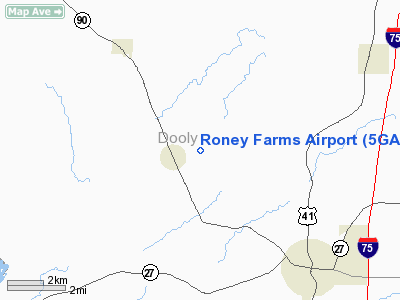
Location
& QuickFacts
|
FAA Information Effective: |
2007-07-05 |
|
Airport
Identifier: |
5GA6 |
|
Airport
Status: |
Operational |
|
Longitude/Latitude: |
083-51-40.6380W/32-08-59.5950N
-83.861288/32.149887 (Estimated) |
|
Elevation: |
352 ft / 107.29 m (Estimated) |
|
Land: |
0
acres |
|
From
nearest city: |
2 nautical miles E of Lilly, GA |
|
Location: |
Dooly County, GA |
|
Magnetic Variation: |
02W (1985) |
Owner
& Manager
|
Ownership: |
Privately owned |
|
Owner: |
Herbert E. Roney |
|
Address: |
Rt 2, Box 88
Vienna, GA 31092 |
|
Phone number: |
912-268-4750 |
|
Manager: |
Herbert E. Roney |
|
Address: |
Rt 2, Box 88
Vienna, GA 31092 |
|
Phone number: |
912-268-4750 |
Airport
Operations and Facilities
|
Airport Use: |
Private |
|
Wind
indicator: |
No |
|
Segmented
Circle: |
No |
|
Control
Tower: |
No |
|
Landing
fee charge: |
No |
|
Sectional
chart: |
Atlanta |
|
Region: |
ASO - Southern |
|
Boundary
ARTCC: |
ZTL - Atlanta |
|
Tie-in
FSS: |
MCN - Macon |
|
FSS
on Airport: |
No |
|
FSS
Toll Free: |
1-800-WX-BRIEF |
|
Runway Information
Runway 09/27
|
Dimension: |
2900 x 80 ft / 883.9 x 24.4 m |
|
Surface: |
TURF, |
|
|
Runway 09 |
Runway 27 |
|
Traffic
Pattern: |
Left |
Left |
|
Radio Navigation
Aids
|
ID |
Type |
Name |
Ch |
Freq |
Var |
Dist |
|
OHY |
NDB |
Coney |
|
400.00 |
02W |
9.1 nm |
|
LKG |
NDB |
Lindbergh |
|
242.00 |
03W |
12.6 nm |
|
IZS |
NDB |
Montezuma |
|
426.00 |
04W |
15.0 nm |
|
BEP |
NDB |
Bay Creek |
|
350.00 |
03W |
19.1 nm |
|
EZM |
NDB |
Eastman |
|
366.00 |
04W |
36.0 nm |
|
SUR |
NDB |
Fitzgerald |
|
362.00 |
03W |
43.5 nm |
|
AB |
NDB |
Putny |
|
227.00 |
02W |
46.8 nm |
|
DB |
NDB |
Creke |
|
251.00 |
04W |
47.6 nm |
|
OP |
NDB |
Yates |
|
339.00 |
03W |
49.1 nm |
|
MQW |
NDB |
Mc Rae |
|
280.00 |
03W |
49.9 nm |
|
IFM |
VOR |
Tift Myers |
|
112.50 |
01W |
47.3 nm |
|
VNA |
VORTAC |
Vienna |
112X |
116.50 |
01E |
18.9 nm |
|
MCN |
VORTAC |
Macon |
089X |
114.20 |
01E |
34.3 nm |
|
PZD |
VORTAC |
Pecan |
108X |
116.10 |
02W |
37.0 nm |
Remarks
- VFR
OPS/PRIVATE USE. A COMPATIBLE OPERATIONAL AGREEMENT IS MAINTAINED WITH
THE OPERATOR OF THE BYROMVILLE AERODROME.
Based
Aircraft
|
Aircraft
based on field: |
1 |
|
Single
Engine Airplanes: |
1 |
Roney Farms Airport
Address:
Dooly County, GA
Tel:
912-268-4750
Images
and information placed above are from
http://www.airport-data.com/airport/5GA6/
We
thank them for the data!
| General
Info |
| Country |
United
States |
| State |
GEORGIA
|
| FAA ID |
5GA6
|
| Latitude |
32-08-59.595N
|
| Longitude |
083-51-40.638W
|
| Elevation |
352 feet
|
| Near City |
LILLY
|
We don't guarantee the information is fresh and accurate. The data may
be wrong or outdated.
For more up-to-date information please refer to other sources.
|
|


