 |
|
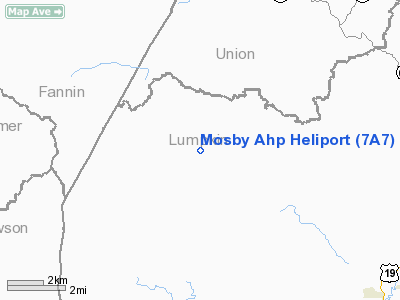
Location
& QuickFacts
|
FAA Information Effective: |
2007-07-05 |
|
Airport
Identifier: |
7A7 |
|
Airport
Status: |
Operational |
|
Longitude/Latitude: |
084-06-23.0000W/34-37-35.0000N
-84.106389/34.626389 (Estimated) |
|
Elevation: |
1748 ft / 532.79 m (Estimated) |
|
Land: |
0
acres |
|
From
nearest city: |
8 nautical miles NW of Dahlonega, GA |
|
Location: |
Lumpkin County, GA |
|
Magnetic Variation: |
02W (1985) |
Owner
& Manager
|
Ownership: |
Army owned |
|
Owner: |
U.s. Army |
|
Address: |
|
|
Address: |
|
Airport
Operations and Facilities
|
Airport Use: |
Private |
|
Segmented
Circle: |
No |
|
Control
Tower: |
No |
|
Lighting
Schedule: |
DUSK-DAWN |
|
Beacon
Color: |
Split-Clear-Green (lighted military airport) |
|
Sectional
chart: |
Atlanta |
|
Region: |
ASO - Southern |
|
Boundary
ARTCC: |
ZTL - Atlanta |
|
Tie-in
FSS: |
MCN - Macon |
|
FSS
Toll Free: |
1-800-WX-BRIEF |
|
Runway Information
Helipad H1
|
Dimension: |
40 x 40 ft / 12.2 x 12.2 m |
|
Surface: |
METAL, |
|
|
Runway H1 |
Runway |
|
Traffic
Pattern: |
Left |
Left |
|
Radio Navigation
Aids
|
ID |
Type |
Name |
Ch |
Freq |
Var |
Dist |
|
JZP |
NDB |
Pickens County |
|
285.00 |
04W |
20.3 nm |
|
FKV |
NDB |
Flowery Branch |
|
365.00 |
03W |
27.3 nm |
|
AJR |
NDB |
Habersham |
|
347.00 |
03W |
28.6 nm |
|
DJD |
NDB |
Canton |
|
415.00 |
04W |
29.4 nm |
|
TTQ |
NDB |
Tomotla |
|
335.00 |
01W |
30.4 nm |
|
UWI |
NDB |
Whitfield |
|
400.00 |
03W |
42.6 nm |
|
OUK |
NDB |
Calhoun |
|
323.00 |
02W |
42.8 nm |
|
EVZ |
NDB |
Cartersville |
|
308.00 |
04W |
44.6 nm |
|
DDA |
NDB |
Commerce |
|
244.00 |
03W |
44.7 nm |
|
BMW |
NDB |
Barrow County |
|
404.00 |
03W |
48.8 nm |
|
DOB |
TACAN |
Dobbins |
077X |
|
01W |
47.2 nm |
|
PDK |
VOR/DME |
Peachtree |
113X |
116.60 |
02W |
46.1 nm |
|
HRS |
VORTAC |
Harris |
035X |
109.80 |
00E |
21.2 nm |
|
ODF |
VORTAC |
Foothills |
081X |
113.40 |
00E |
40.2 nm |
Remarks
Mosby Ahp Heliport
Address:
Lumpkin County, GA
Tel:
Images
and information placed above are from
http://www.airport-data.com/airport/7A7/
We
thank them for the data!
| General
Info |
| Country |
United
States |
| State |
GEORGIA
|
| FAA ID |
7A7
|
| Latitude |
34-37-35.000N
|
| Longitude |
084-06-23.000W
|
| Elevation |
1748 feet
|
| Near City |
DAHLONEGA
|
We don't guarantee the information is fresh and accurate. The data may
be wrong or outdated.
For more up-to-date information please refer to other sources.
|
|


