 |
|
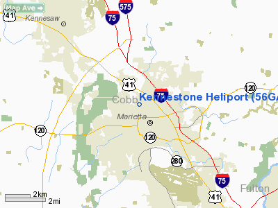
Location
& QuickFacts
|
FAA Information Effective: |
2007-07-05 |
|
Airport
Identifier: |
56GA |
|
Airport
Status: |
Operational |
|
Longitude/Latitude: |
084-33-03.7570W/33-58-03.3650N
-84.551044/33.967601 (Estimated) |
|
Elevation: |
1215 ft / 370.33 m (Estimated) |
|
Land: |
0
acres |
|
From
nearest city: |
0 nautical miles N of Marietta, GA |
|
Location: |
Cobb County, GA |
|
Magnetic Variation: |
02W (1980) |
Owner
& Manager
|
Ownership: |
Privately owned |
|
Owner: |
Kennestone Reg Hth Care Sys
KENNESTONE REGIONAL HEALTH CARE SYSTEM |
|
Address: |
677 Church St
Marietta, GA 30060 |
|
Phone number: |
404-793-7780 |
|
Manager: |
Kirk A. Walsh |
|
Address: |
677 Churck St
Marietta, GA 30060 |
|
Phone number: |
404-793-7780 |
Airport
Operations and Facilities
|
Airport Use: |
Private
MEDICAL. |
|
Wind
indicator: |
Yes |
|
Segmented
Circle: |
No |
|
Control
Tower: |
No |
|
Landing
fee charge: |
No |
|
Sectional
chart: |
Atlanta |
|
Region: |
ASO - Southern |
|
Boundary
ARTCC: |
ZTL - Atlanta |
|
Tie-in
FSS: |
MCN - Macon |
|
FSS
on Airport: |
No |
|
FSS
Toll Free: |
1-800-WX-BRIEF |
|
Runway Information
Helipad H1
|
Dimension: |
50 x 50 ft / 15.2 x 15.2 m |
|
Surface: |
MATS, |
|
|
Runway H1 |
Runway |
|
Traffic
Pattern: |
Left |
Left |
|
Radio Navigation
Aids
|
ID |
Type |
Name |
Ch |
Freq |
Var |
Dist |
|
FT |
NDB |
Flanc |
|
344.00 |
02W |
13.1 nm |
|
DJD |
NDB |
Canton |
|
415.00 |
04W |
17.4 nm |
|
EVZ |
NDB |
Cartersville |
|
308.00 |
04W |
20.1 nm |
|
BR |
NDB |
Redan |
|
266.00 |
02W |
22.8 nm |
|
JZP |
NDB |
Pickens County |
|
285.00 |
04W |
29.7 nm |
|
OUK |
NDB |
Calhoun |
|
323.00 |
02W |
32.1 nm |
|
FKV |
NDB |
Flowery Branch |
|
365.00 |
03W |
35.1 nm |
|
OYD |
NDB |
Floyd |
|
388.00 |
02W |
36.4 nm |
|
GPQ |
NDB |
Carrollton |
|
278.00 |
02W |
37.7 nm |
|
FF |
NDB |
Pecat |
|
316.00 |
02W |
40.2 nm |
|
JNM |
NDB |
Monroe |
|
392.00 |
03W |
43.4 nm |
|
VOF |
NDB |
Alcovy |
|
370.00 |
03W |
43.4 nm |
|
EQQ |
NDB |
Coweta County |
|
234.00 |
03W |
43.5 nm |
|
BMW |
NDB |
Barrow County |
|
404.00 |
03W |
48.0 nm |
|
JHH |
NDB |
Griffin |
|
412.00 |
04W |
49.8 nm |
|
DOB |
TACAN |
Dobbins |
077X |
|
01W |
3.9 nm |
|
PDK |
VOR/DME |
Peachtree |
113X |
116.60 |
02W |
13.7 nm |
|
ATL |
VORTAC |
Atlanta |
116X |
116.90 |
00W |
21.2 nm |
|
RMG |
VORTAC |
Rome |
101X |
115.40 |
01E |
30.6 nm |
|
ATL |
VOT |
Atlanta Muni |
|
111.00 |
|
19.6 nm |
Remarks
- VFR,
PVT USE; AGREEMENT WITH DOBBINS AFB AS TO APCH/DEP ROUTES.
Kennestone Heliport
Address:
Cobb County, GA
Tel:
404-793-7780
Images
and information placed above are from
http://www.airport-data.com/airport/56GA/
We
thank them for the data!
| General
Info |
| Country |
United
States |
| State |
GEORGIA
|
| FAA ID |
56GA
|
| Latitude |
33-58-03.365N
|
| Longitude |
084-33-03.757W
|
| Elevation |
1215 feet
|
| Near City |
MARIETTA
|
We don't guarantee the information is fresh and accurate. The data may
be wrong or outdated.
For more up-to-date information please refer to other sources.
|
|


