|
|
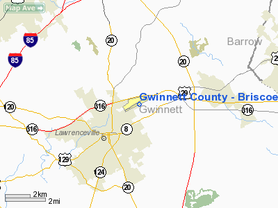
Gwinnett County - Briscoe Field Airport |
Coordinates: 33°58â²41â³N 083°57â²45â³W / 33.97806°N 83.9625°W / 33.97806; -83.9625
Gwinnett County Airport
Briscoe Field |
| IATA: none â ICAO: KLZU â FAA LID: LZU |
| Summary |
| Airport type |
Public |
| Owner/Operator |
Gwinnett County |
| Serves |
Lawrenceville, Georgia |
| Elevation AMSL |
1,061 ft / 323 m |
| Website |
GwinnettCountyAirport.com |
| Runways |
| Direction |
Length |
Surface |
| ft |
m |
| 7/25 |
6,000 |
1,829 |
Asphalt |
| Statistics (2005) |
| Aircraft operations |
108,485 |
| Based aircraft |
433 |
| Source: Federal Aviation Administration |
Gwinnett County Airport (ICAO: KLZU, FAA LID: LZU) at Briscoe Field is a municipal airport located about two miles (3 km) northeast of Lawrenceville, Georgia, in the United States. It is owned and operated by the Gwinnett county government, in the northeastern part of metro Atlanta.
It has a 6,000-foot (1,800 m) runway, and is 1,061 feet (323 m) above mean sea level (AMSL). Student training is conducted at the airport by several different flight schools. Two FBOs, Landmark (north ramp) and Aircraft Specialists (south ramp), serve the field with facilities, passenger lounges, and fuel. Airport Minimum Standards for Operation were rewritten in 2006.
Although most U.S. airports use the same three-letter location identifier for the FAA and IATA, Gwinnett County Airport is assigned LZU by the FAA but has no designation from the IATA. HistoryA small plane crashed on the evening of April 26, 2005, though both on board escaped safely before the aircraft caught fire.
Two of the 9/11 hijackers, Mohamed Atta and sidekick Marwan Al-Shehhi, took practice flights at Briscoe Field airport. Half a year before terrorists crashed two jetliners into New York's World Trade Center during the September 11, 2001 attacks, the two men identified as among the hijackers rented a single-engine Piper Cherokee Warrior at this small airport and took off for a one-hour "checkout" flight with an instructor.
Sources close to the investigation say flight school records list Mohamed Atta and sidekick Marwan Al-Shehhi, both named on the FBI list of terrorists aboard the planes that were flown into the World Trade Center. Atta is thought to be a leader and organizer of the hijacking plot, al-Shehhi was a fellow student and apartment roommate.
Both had instrument ratings and were qualified to fly twin-engine planes. Each had to show his commercial pilot's license at Briscoe Field. A source said Atta used a credit card to rent the planes, $69 per hour, plus $32 per hour for an instructor the first time in late February.
Their names and FAA license numbers were entered in the school computer by a flight dispatcher. Each man flew a leg with the instructor. When they returned later to rent another plane, they were able to fly together since they had already qualified.
Another crash was on December 25, 2006 around 8:40 P.M. This crash killed 3 members of the Mucha family of Davie, Florida.
In late 2009, a plane which had just taken-off from the airport crashed into the garage of a nearby house on the morning of October 30, killing the pilot and a woman in the home. The woman's husband was able to escape the Walker Street home, which was destroyed by the crash and fire. The NTSB said the plane was in a steep turn at the time, possibly trying to return to the airport.
In February 2010, a twin-engine Beechcraft, had just taken off and narrowly missed houses in the neighborhood where it came down. One person was killed and three others hurt in the crash.
In May of 2010 the FAA gave preliminary approval to a plan to privatize the airport. This allows Gwinnett county to further study plans on a possible sale of the airport to private investors.
Airlines
- Wings Air (USA) (Atlanta)
Facilities and aircraft
Gwinnett County - Briscoe Field covers an area of 472 acres (191 ha) which contains one asphalt paved runway designated 7/25 which measures 6,000 x 100 ft (1,829 x 30 m).
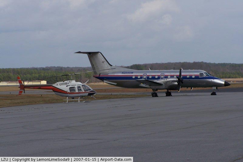
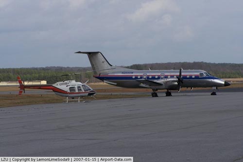
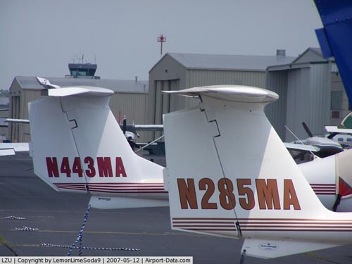
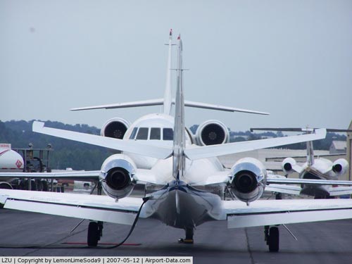
For the 12-month period ending April 5, 2005, the airport had 108,485 aircraft operations, an average of 297 per day: 99.7% general aviation and 0.3% military. There are 433 aircraft based at this airport: 75% single-engine, 13% multi-engine, 8% jet and 4% helicopter.
The above content comes from Wikipedia and is published under free licenses – click here to read more.
|
 |
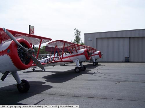
(Click on the photo to enlarge) |
|
 |
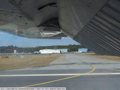
(Click on the photo to enlarge) |
|
 |
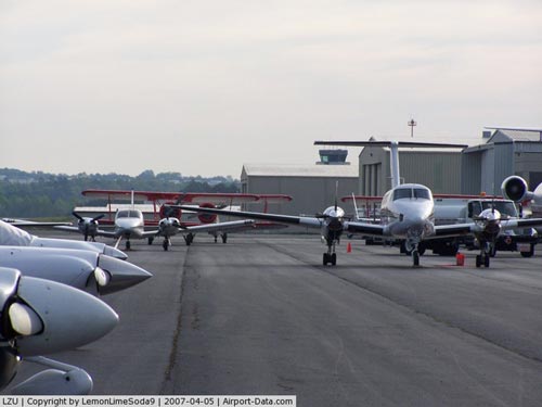
(Click on the photo to enlarge) |
|
 |
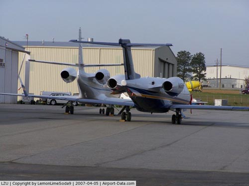
(Click on the photo to enlarge) |
|
 |
(Click on the photo to enlarge) |
|
 |
(Click on the photo to enlarge) |
|
 |
(Click on the photo to enlarge) |
|
 |
(Click on the photo to enlarge) |
|
 |
(Click on the photo to enlarge) |
|
 |
(Click on the photo to enlarge) |
|
 |
(Click on the photo to enlarge) |
|
 |
(Click on the photo to enlarge) |
|
 |
(Click on the photo to enlarge) |
Location
& QuickFacts
|
FAA Information Effective: |
2007-01-18 |
|
Airport
Identifier: |
LZU |
|
Airport
Status: |
Operational |
|
Longitude/Latitude: |
083-57-44.5580W/33-58-41.0740N
-83.962377/33.978076 (Estimated) |
|
Elevation: |
1061 ft / 323.39 m (Surveyed) |
|
Land: |
472 acres |
|
From
nearest city: |
2 nautical miles NE of Lawrenceville, GA |
|
Location: |
Gwinnett County, GA |
|
Magnetic Variation: |
02W (1985) |
Owner
& Manager
|
Ownership: |
Publicly owned |
|
Owner: |
Gwinnett County |
|
Address: |
75 Langely Dr
Lawrenceville, GA 30045 |
|
Phone number: |
770-822-7000 |
|
Manager: |
Matt Smith |
|
Address: |
600 Briscoe Blvd
Lawrenceville, GA 30045-1446 |
|
Phone number: |
770-822-5196 |
Airport
Operations and Facilities
|
Airport Use: |
Open to public |
|
Wind
indicator: |
Yes |
|
Segmented
Circle: |
Yes |
|
Control
Tower: |
Yes |
|
Lighting
Schedule: |
DUSK-DAWN
WHEN ATCT CLSD HIRL PRESET ON LOW INTST; TO INCR INTST &
ACTVT MALSR RY 25 - CTAF. |
|
Beacon
Color: |
Clear-Green (lighted land airport) |
|
Landing
fee charge: |
No |
|
Sectional
chart: |
Atlanta |
|
Region: |
ASO - Southern |
|
Boundary
ARTCC: |
ZTL - Atlanta |
|
Tie-in
FSS: |
MCN - Macon |
|
FSS
on Airport: |
No |
|
FSS
Phone: |
478-784-1155 |
|
FSS
Toll Free: |
1-800-WX-BRIEF |
|
NOTAMs
Facility: |
LZU (NOTAM-d service avaliable) |
|
Federal Agreements: |
NGY |
Airport
Communications
|
CTAF: |
124.100 |
|
Unicom: |
123.050 |
Airport
Services
|
Fuel available: |
100LLA |
|
Airframe Repair: |
MAJOR |
|
Power Plant Repair: |
MAJOR |
|
Bottled
Oxygen: |
HIGH/LOW |
|
Bulk
Oxygen: |
HIGH/LOW |
|
Runway Information
Runway 07/25
|
Dimension: |
6000 x 100 ft / 1828.8 x 30.5 m |
|
Surface: |
ASPH, Good Condition |
|
Weight
Limit: |
Single wheel: 45000 lbs.
Dual wheel: 60000 lbs. |
|
Edge
Lights: |
High |
|
|
Runway 07 |
Runway 25 |
|
Longitude: |
083-58-16.4490W |
083-57-12.5840W |
|
Latitude: |
33-58-27.9360N |
33-58-54.2450N |
|
Elevation: |
1061.00
ft |
1031.00
ft |
|
Alignment: |
64 |
127 |
|
ILS
Type: |
|
ILS |
|
Traffic
Pattern: |
Left |
Left |
|
Markings: |
Precision instrument, Good Condition |
Precision instrument, Good Condition |
|
Crossing
Height: |
55.00
ft |
48.00
ft |
|
VASI: |
2-light PAPI on left side |
2-light PAPI on left side |
|
Visual
Glide Angle: |
4.00° |
3.00° |
|
Approach
lights: |
|
MALSR |
|
Obstruction: |
55 ft pole, 1575.0 ft from runway, 250 ft right
of centerline, 25:1 slope to clear |
50 ft trees, 210.0 ft from runway, 500 ft left
of centerline
APPROACH BLOCKED; TREES ESTIMATED 50 FEET HIGH, 500 FEET LEFTAT
THRESHOLD. |
|
Radio Navigation
Aids
|
ID |
Type |
Name |
Ch |
Freq |
Var |
Dist |
|
FKV |
NDB |
Flowery Branch |
|
365.00 |
03W |
13.8 nm |
|
JNM |
NDB |
Monroe |
|
392.00 |
03W |
18.6 nm |
|
BMW |
NDB |
Barrow County |
|
404.00 |
03W |
18.8 nm |
|
DDA |
NDB |
Commerce |
|
244.00 |
03W |
22.6 nm |
|
VOF |
NDB |
Alcovy |
|
370.00 |
03W |
22.8 nm |
|
BR |
NDB |
Redan |
|
266.00 |
02W |
26.5 nm |
|
DJD |
NDB |
Canton |
|
415.00 |
04W |
30.9 nm |
|
FT |
NDB |
Flanc |
|
344.00 |
02W |
36.2 nm |
|
BJT |
NDB |
Bulldog |
|
221.00 |
03W |
37.1 nm |
|
AJR |
NDB |
Habersham |
|
347.00 |
03W |
37.5 nm |
|
JZP |
NDB |
Pickens County |
|
285.00 |
04W |
37.9 nm |
|
EVZ |
NDB |
Cartersville |
|
308.00 |
04W |
45.8 nm |
|
FF |
NDB |
Pecat |
|
316.00 |
02W |
48.4 nm |
|
JHH |
NDB |
Griffin |
|
412.00 |
04W |
49.5 nm |
|
DOB |
TACAN |
Dobbins |
077X |
|
01W |
27.4 nm |
|
PDK |
VOR/DME |
Peachtree |
113X |
116.60 |
02W |
17.9 nm |
|
ATL |
VORTAC |
Atlanta |
116X |
116.90 |
00W |
31.6 nm |
|
AHN |
VORTAC |
Athens |
33 |
109.60 |
00E |
31.8 nm |
|
ATL |
VOT |
Atlanta Muni |
|
111.00 |
|
30.1 nm |
Based
Aircraft
|
Aircraft
based on field: |
433 |
|
Single
Engine Airplanes: |
324 |
|
Multi
Engine Airplanes: |
57 |
|
Jet Engine
Airplanes: |
36 |
|
Helicopters: |
16 |
Operational Statistics
Time Period: 2004-04-06
- 2005-04-05
|
Aircraft
Operations: |
298/Day |
|
General
Aviation Local: |
31.5% |
|
General
Aviation Itinerant: |
68.2% |
|
Military: |
0.3% |
Gwinnett County - Briscoe Field Airport
Address:
Gwinnett County, GA
Tel:
770-822-7000, 770-822-5196
Images
and information placed above are from
http://www.airport-data.com/airport/LZU/
We
thank them for the data!
| General
Info |
| Country |
United
States |
| State |
GEORGIA
|
| FAA ID |
LZU
|
| Latitude |
33-58-41.074N
|
| Longitude |
083-57-44.558W
|
| Elevation |
1061 feet
|
| Near City |
LAWRENCEVILLE
|
We don't guarantee the information is fresh and accurate. The data may
be wrong or outdated.
For more up-to-date information please refer to other sources.
|
|