 |
|
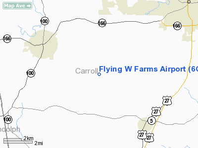
Location
& QuickFacts
|
FAA Information Effective: |
2007-01-18 |
|
Airport
Identifier: |
6GA8 |
|
Airport
Status: |
Operational |
|
Longitude/Latitude: |
085-11-08.0000W/33-30-28.0000N
-85.185556/33.507778 (Estimated) |
|
Elevation: |
1010 ft / 307.85 m (Estimated) |
|
Land: |
7
acres |
|
From
nearest city: |
7 nautical miles SW of Carrollton, GA |
|
Location: |
Carroll County, GA |
|
Magnetic Variation: |
03W (2000) |
Owner
& Manager
|
Ownership: |
Privately owned |
|
Owner: |
David L. & Sandra G. Welch |
|
Address: |
400 Crook Road
Carrollton, GA 30117 |
|
Phone
number: |
770-258-0412 |
|
Manager: |
David L. & Sandra G. Welch |
|
Address: |
400 Crook Road
Carrollton, GA 30117 |
|
Phone number: |
770-258-0412 |
Airport
Operations and Facilities
|
Airport Use: |
Private |
|
Wind
indicator: |
Yes |
|
Segmented
Circle: |
No |
|
Control
Tower: |
No |
|
Sectional
chart: |
Atlanta |
|
Region: |
ASO - Southern |
|
Boundary
ARTCC: |
ZTL - Atlanta |
|
Tie-in
FSS: |
MCN - Macon |
|
FSS
Phone: |
478-784-1155 |
|
FSS
Toll Free: |
1-800-WX-BRIEF |
|
Runway Information
Runway 15/33
|
Dimension: |
2200 x 40 ft / 670.6 x 12.2 m |
|
Surface: |
TURF, |
|
|
Runway 15 |
Runway 33 |
|
Traffic
Pattern: |
Left |
Left |
|
Obstruction: |
80 ft trees, 20.0 ft from runway |
18 ft bldg, 70.0 ft from runway |
|
Radio Navigation
Aids
|
ID |
Type |
Name |
Ch |
Freq |
Var |
Dist |
|
GPQ |
NDB |
Carrollton |
|
278.00 |
02W |
4.4 nm |
|
EQQ |
NDB |
Coweta County |
|
234.00 |
03W |
28.1 nm |
|
FT |
NDB |
Flanc |
|
344.00 |
02W |
31.3 nm |
|
FF |
NDB |
Pecat |
|
316.00 |
02W |
37.2 nm |
|
PIM |
NDB |
Pine Mountain |
|
272.00 |
03W |
43.0 nm |
|
BR |
NDB |
Redan |
|
266.00 |
02W |
44.6 nm |
|
EVZ |
NDB |
Cartersville |
|
308.00 |
04W |
45.0 nm |
|
OYD |
NDB |
Floyd |
|
388.00 |
02W |
47.6 nm |
|
DOB |
TACAN |
Dobbins |
077X |
|
01W |
41.8 nm |
|
TDG |
VOR/DME |
Talladega |
025X |
108.80 |
02E |
43.1 nm |
|
PDK |
VOR/DME |
Peachtree |
113X |
116.60 |
02W |
49.6 nm |
|
LGC |
VORTAC |
Lagrange |
103X |
115.60 |
01E |
27.6 nm |
|
ATL |
VORTAC |
Atlanta |
116X |
116.90 |
00W |
38.3 nm |
|
RMG |
VORTAC |
Rome |
101X |
115.40 |
01E |
39.5 nm |
|
ATL |
VOT |
Atlanta Muni |
|
111.00 |
|
39.1 nm |
Remarks
- PRVDD
VFR OPERATIONS AND PRIVATE USE.
Based
Aircraft
|
Aircraft
based on field: |
2 |
|
Single
Engine Airplanes: |
2 |
Flying W Farms Airport
Address:
Carroll County, GA
Tel:
770-258-0412
Images
and information placed above are from
http://www.airport-data.com/airport/6GA8/
We
thank them for the data!
We don't guarantee the information is fresh and accurate. The data may
be wrong or outdated.
For more up-to-date information please refer to other sources.
|
|


