 |
|
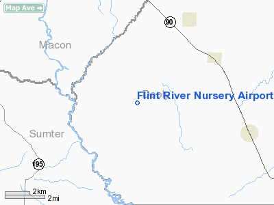
Flint River Nursery Airport |
Location
& QuickFacts
|
FAA Information Effective: |
2007-01-18 |
|
Airport
Identifier: |
GA17 |
|
Airport
Status: |
Operational |
|
Longitude/Latitude: |
083-58-24.6510W/32-10-07.5890N
-83.973514/32.168775 (Estimated) |
|
Elevation: |
320 ft / 97.54 m (Estimated) |
|
Land: |
832 acres |
|
From
nearest city: |
4 nautical miles W of Byromville, GA |
|
Location: |
Dooly County, GA |
|
Magnetic Variation: |
02W (1985) |
Owner
& Manager
|
Ownership: |
Publicly owned |
|
Owner: |
Georgia Forestry Commission |
|
Address: |
Rt 1 Box 40
Byromville, GA 31007 |
|
Phone number: |
912-268-7308 |
|
Manager: |
Wayne Belflower |
|
Address: |
Rt 1 Box 39
Byromville, GA 31007 |
|
Phone number: |
912-268-7308 |
Airport
Operations and Facilities
|
Airport Use: |
Private |
|
Wind
indicator: |
Yes |
|
Segmented
Circle: |
No |
|
Control
Tower: |
No |
|
Sectional
chart: |
Atlanta |
|
Region: |
ASO - Southern |
|
Boundary
ARTCC: |
ZTL - Atlanta |
|
Tie-in
FSS: |
MCN - Macon |
|
FSS
Phone: |
478-784-1155 |
|
FSS
Toll Free: |
1-800-WX-BRIEF |
|
Runway Information
Runway 18/36
|
Dimension: |
3500 x 60 ft / 1066.8 x 18.3 m |
|
Surface: |
TURF, |
|
|
Runway 18 |
Runway 36 |
|
Traffic
Pattern: |
Left |
Left |
|
Radio Navigation
Aids
|
ID |
Type |
Name |
Ch |
Freq |
Var |
Dist |
|
LKG |
NDB |
Lindbergh |
|
242.00 |
03W |
6.9 nm |
|
OHY |
NDB |
Coney |
|
400.00 |
02W |
11.7 nm |
|
IZS |
NDB |
Montezuma |
|
426.00 |
04W |
12.1 nm |
|
BEP |
NDB |
Bay Creek |
|
350.00 |
03W |
20.3 nm |
|
EZM |
NDB |
Eastman |
|
366.00 |
04W |
41.8 nm |
|
AB |
NDB |
Putny |
|
227.00 |
02W |
45.5 nm |
|
OP |
NDB |
Yates |
|
339.00 |
03W |
46.4 nm |
|
SUR |
NDB |
Fitzgerald |
|
362.00 |
03W |
48.3 nm |
|
VNA |
VORTAC |
Vienna |
112X |
116.50 |
01E |
24.4 nm |
|
PZD |
VORTAC |
Pecan |
108X |
116.10 |
02W |
34.9 nm |
|
MCN |
VORTAC |
Macon |
089X |
114.20 |
01E |
35.5 nm |
Remarks
Flint River Nursery Airport
Address:
Dooly County, GA
Tel:
912-268-7308
Images
and information placed above are from
http://www.airport-data.com/airport/GA17/
We
thank them for the data!
| General
Info |
| Country |
United
States |
| State |
GEORGIA
|
| FAA ID |
GA17
|
| Latitude |
32-10-07.589N
|
| Longitude |
083-58-24.651W
|
| Elevation |
320 feet
|
| Near City |
BYROMVILLE
|
We don't guarantee the information is fresh and accurate. The data may
be wrong or outdated.
For more up-to-date information please refer to other sources.
|
|


