 |
|
West Volusia Memorial Hospital Helistop Heliport |
|
|
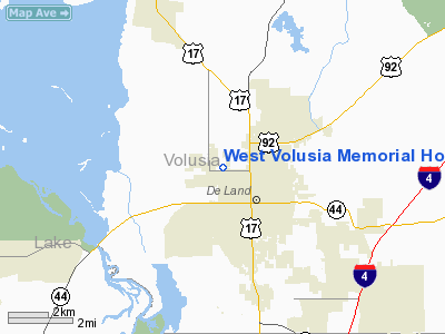
Location
& QuickFacts
|
FAA Information Effective: |
2007-01-18 |
|
Airport
Identifier: |
2FD9 |
|
Airport
Status: |
Operational |
|
Longitude/Latitude: |
081-19-04.2260W/29-02-37.9430N
-81.317841/29.043873 (Estimated) |
|
Elevation: |
78
ft / 23.77 m (Estimated) |
|
Land: |
0
acres |
|
From
nearest city: |
0 nautical miles N of De Land, FL |
|
Location: |
Volusia County, FL |
|
Magnetic Variation: |
03W (1985) |
Owner
& Manager
|
Ownership: |
Publicly owned |
|
Owner: |
West Volusia Memorial Hosp |
|
Address: |
701 W Plymouth Ave
De Land, FL 32720 |
|
Phone
number: |
904-734-3320 |
|
Manager: |
Mark Van Fleet Administrator |
|
Address: |
701 W Plymouth Ave
De Land, FL 32720 |
|
Phone number: |
904-734-3320 |
Airport
Operations and Facilities
|
Airport Use: |
Private
MEDICAL. |
|
Wind
indicator: |
Yes |
|
Segmented
Circle: |
No |
|
Control
Tower: |
No |
|
Lighting
Schedule: |
PHONE REQ
FOR FLOODLIGHTS CALL 904-734-3320. |
|
Sectional
chart: |
Miami |
|
Region: |
ASO - Southern |
|
Boundary
ARTCC: |
ZJX - Jacksonville |
|
Tie-in
FSS: |
PIE - Saint Petersburg |
|
FSS
Toll Free: |
1-800-WX-BRIEF |
|
Runway Information
Helipad H1
|
Dimension: |
112 x 92 ft / 34.1 x 28.0 m |
|
Surface: |
ASPH, |
|
|
Runway H1 |
Runway |
|
Traffic
Pattern: |
Left |
Left |
|
Radio Navigation
Aids
|
ID |
Type |
Name |
Ch |
Freq |
Var |
Dist |
|
DED |
NDB |
Deland/dcmsnd |
|
201.00 |
05W |
2.7 nm |
|
SFB |
NDB |
Sanford |
|
408.00 |
05W |
16.1 nm |
|
EVB |
NDB |
New Smyrna Beach |
|
417.00 |
04W |
19.8 nm |
|
LEE |
NDB |
Leesburg |
|
335.00 |
04W |
29.1 nm |
|
GGL |
NDB |
Geiger Lake |
|
375.00 |
05W |
37.8 nm |
|
IAK |
NDB |
Palatka |
|
243.00 |
05W |
44.8 nm |
|
ISM |
NDB |
Kissimmee |
|
329.00 |
05W |
45.8 nm |
|
TTS |
TACAN |
Kennedy Space Center |
059Y |
|
00E |
41.3 nm |
|
OMN |
VORTAC |
Ormond Beach |
073X |
112.60 |
00E |
18.9 nm |
|
ORL |
VORTAC |
Orlando |
059X |
112.20 |
00E |
30.1 nm |
|
OCF |
VORTAC |
Ocala |
084X |
113.70 |
00E |
48.4 nm |
|
DAB |
VOT |
Daytona Beach |
|
111.00 |
|
16.0 nm |
Remarks
West Volusia Memorial Hospital Helistop
Heliport
Address:
Volusia County, FL
Tel:
904-734-3320
Images
and information placed above are from
http://www.airport-data.com/airport/2FD9/
We
thank them for the data!
| General
Info |
| Country |
United
States |
| State |
FLORIDA
|
| FAA ID |
2FD9
|
| Latitude |
29-02-37.943N
|
| Longitude |
081-19-04.226W
|
| Elevation |
78 feet
|
| Near City |
DE LAND
|
We don't guarantee the information is fresh and accurate. The data may
be wrong or outdated.
For more up-to-date information please refer to other sources.
|
|


