|
 |
|
||||
|
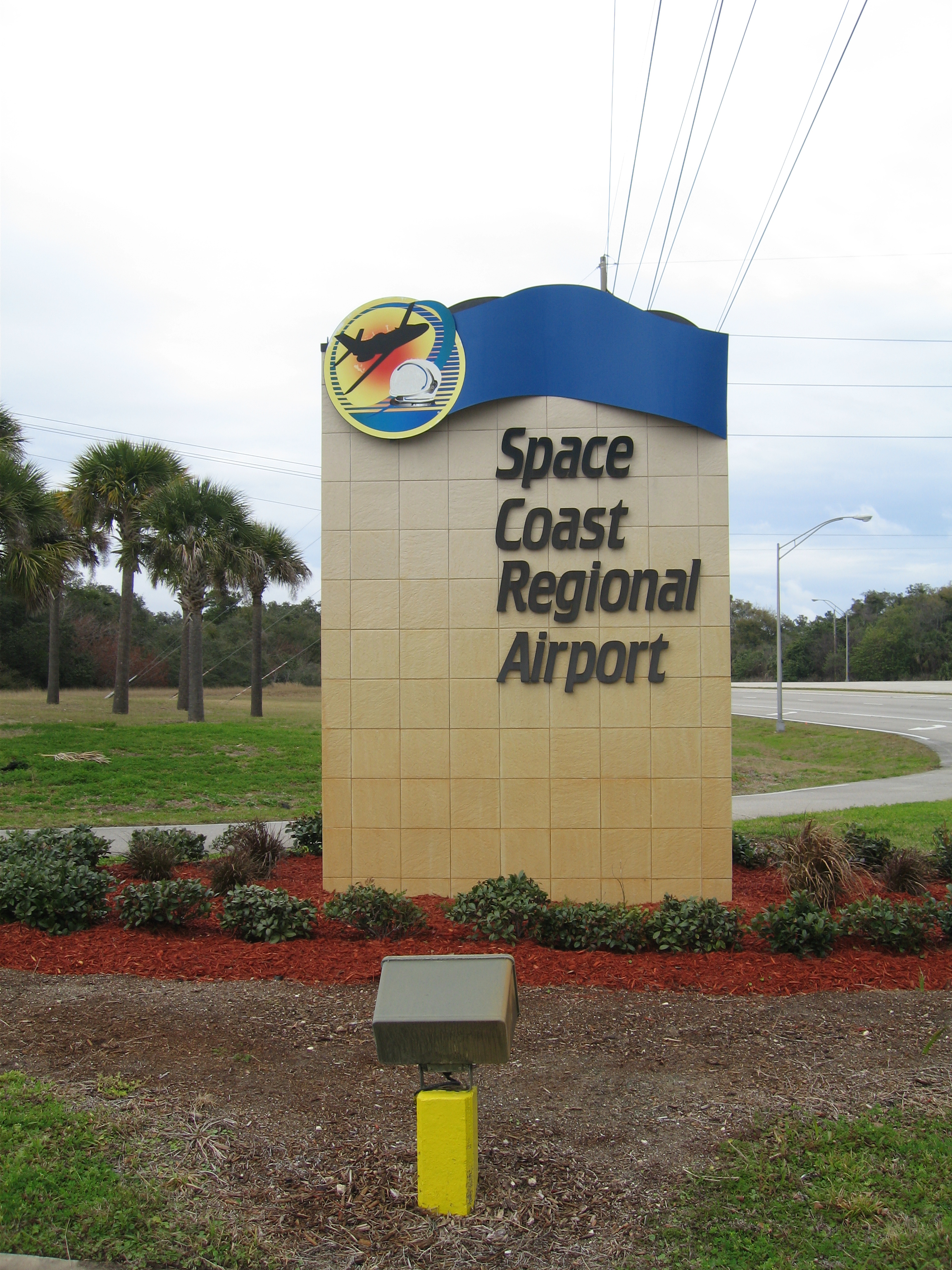
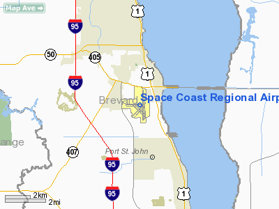
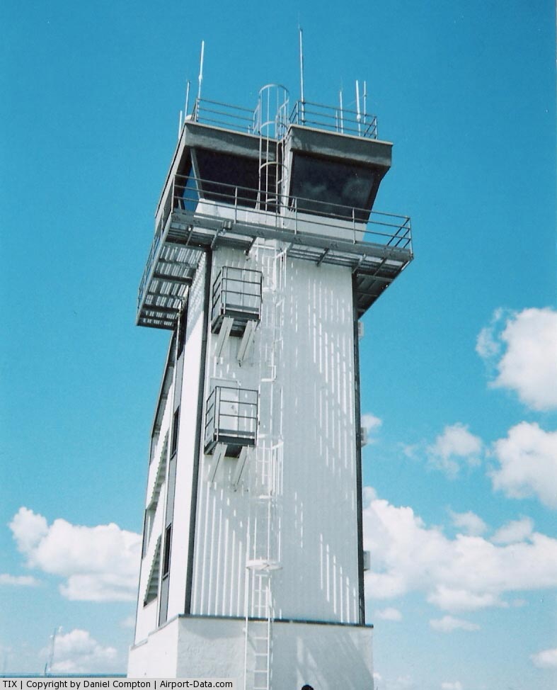
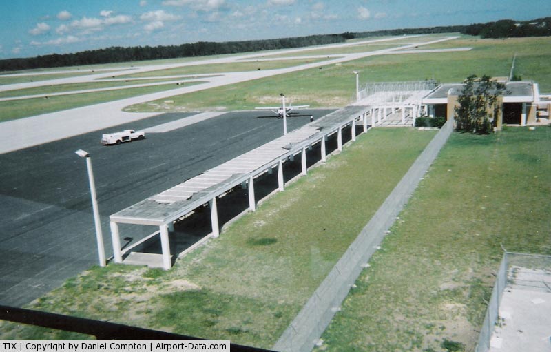
Space Coast Regional Airport (IATA: TIX, ICAO: KTIX, FAA LID: TIX) is located in the city of Titusville, Florida on Columbia Boulevard (State Road 405) and Washington Avenue (U.S. 1) in Brevard County. Formerly known as Ti-Co (Titusville-Cocoa) Airport, it is the nearest commercial airport to the Kennedy Space Center. HistoryIn 1943, the U.S. Government constructed the airport on land jointly owned by both cities. The airfield included two 5,000 feet (1,500 m) x 150 feet (46 m) runways with an associated taxiway system. The U.S. Government developed the airport and its facilities to serve as an outlying field (OLF) to Naval Air Station Sanford during World War II. The airport was built by the Civil Aeronautics Administration under the "Development of Landing Areas for National Defense" Program to help relieve other area military bases of training exercises required as a result of World War II. The government retained control of the airport throughout the duration of the war. After the war, the U.S. Navy transferred the airport property and associated improvements to the War Assets Administration, which deeded the airport back to the Cities of Titusville and Cocoa by a Surrender of Lease and Quit Claim Deed dated April 18, 1947. An airport authority was established by the Cities of Titusville and Cocoa to own, operate, improve, and maintain the airport. The property was transferred to the authority by Quit Claim Deeds from the City of Titusville on March 14, 1961 and from the City of Cocoa on April 11, 1961. Having previously utilized military facilities on nearby Cape Canaveral Air Force Station, the National Aeronautics and Space Administration (NASA) began development of its own civilian manned launch facilities, in what became the John F. Kennedy Space Center (KSC), on Merritt Island in the early 1960s. The advantageous location of the airport allowed it to play an increasingly important role in the transportation of NASA personnel and equipment. The "Titusville-Cocoa Airport District Act of 1963" created the Titusville-Cocoa Airport District and the Titusville-Cocoa Airport Authority ("Authority") to govern the operations of the airport facilities. The Authority was created to service the local, commercial, and corporate aviation needs as well as to stimulate economic growth in the local communities. The Authority replaced the original airport authority established in 1959. This legislation commissioned the Authority to govern the affairs of the Airport District. This currently includes Space Coast Regional Airport, Arthur Dunn Airpark, and Merritt Island Airport. The 1963 Act established policies for the funding of Authority activities, including an ad valorem tax not to exceed one mil on all taxable properties within the geographical bounds of the District. Also included was the authorization of the District to issue general obligation bonds and revenue bonds to finance the acquisition, construction, or development of airport property or facilities. Governing authorityThe current Titusville-Cocoa Airport Authority consists of seven members. Two members are appointed from Brevard County election Districts I, II, and IV, and one member is appointed at-large by the Board of County Commissioners of Brevard County. The Authority exercises hiring and oversight responsibility for the Authority's Executive Director, a full-time civil servant airport executive who has actual day-to-day responsibility for the operation, maintenance and supervision of Space Coast Regional Airport, Merritt Island Airport, Arthur Dunn Airpark and associated airport staff personnel. FacilitiesSpace Coast Regional Airport covers 1,650 acres (668 ha) and has two runways:
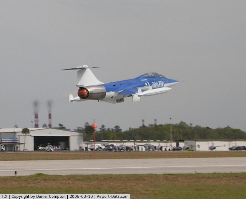
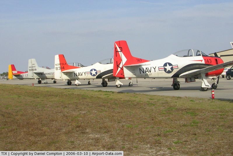
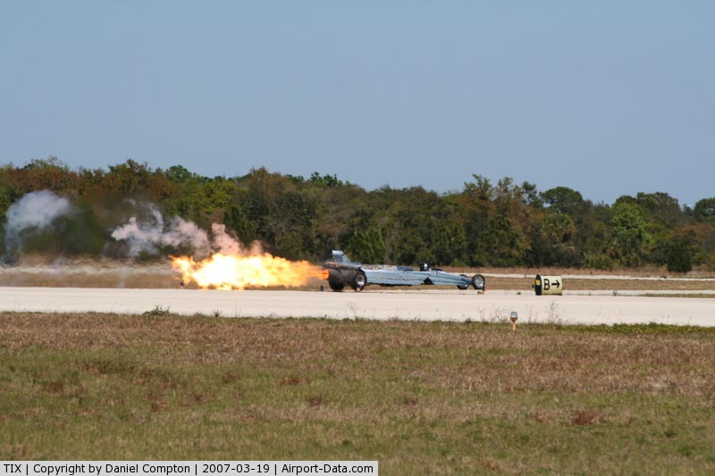
Warbird MuseumThe Valiant Air Command is a frequently flyable collection of planes used in World Wars I & II. It is based here, along with a permanent collection at the Warbird Museum. The museum provides an exhibit of air history, offering a static display of vintage Warbird aircraft, including a Douglas C-47A. Veteran tour guides recount war stories. EventsIn March, the Valiant Air Command produces the TICO (Space Coast Regional Airport) Air Show. In 2008, about 30,000 attended. IndustryBristow Helicopters' Bristow Academy, a helicopter flying school employs 100 and training 350 people a year in Schweizer 300CBIs, Robinson R22s and Bell 206Bs. The Zero Gravity Corporation offers weightless flights in its modified cargo planes. NASCARThe taxiways and runways of the Titusville-Cocoa Airport hosted a NASCAR Grand National event, on December 30, 1956, for the 1957 NASCAR season. Fireball Roberts won in a Peter DePaolo Ford. FootnotesThe above content comes from Wikipedia and is published under free licenses – click here to read more.
Runway InformationRunway 09/27
Runway 18/36
Radio Navigation Aids
Remarks
Based Aircraft
Operational StatisticsTime Period: 2004-07-01 - 2005-06-30
Space Coast Regional Airport Address: Brevard County, FL Tel: 321-267-8780 Images
and information placed above are from We thank them for the data!
We don't guarantee the information is fresh and accurate. The data may
be wrong or outdated.
|
||||||||||||||||||||||||||||||||||||||||||||||||||||||||||||||||||||||||||||||||||||||||||||||||||||||||||||||||||||||||||||||||||||||||||||||||||||||||||||||||||||||||||||||||||||||||||||||||||||||||||||||||||||||||||||||||||||||||||||||||||||||||||||||||||||||||||||||||||||||||||||||||||||||||||||||||||||||||||||||||||||||||||||||||||||||||||||||||||||||||||||||||||||||||||||||||||||||||||||||||||||||

 |
|
Copyright 2004-2024 © by Airports-Worldwide.com, Vyshenskoho st. 36, Lviv 79010, Ukraine Legal Disclaimer |