 |
|
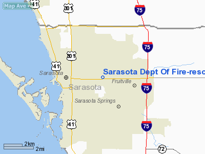
Sarasota Dept Of Fire-rescue East Side Heliport |
|
|
Location
& QuickFacts
|
FAA Information Effective: |
2007-01-18 |
|
Airport
Identifier: |
6FL6 |
|
Airport
Status: |
Operational |
|
Longitude/Latitude: |
082-29-47.3470W/27-20-20.1650N
-82.496485/27.338935 (Estimated) |
|
Elevation: |
25
ft / 7.62 m (Estimated) |
|
Land: |
0
acres |
|
From
nearest city: |
0 nautical miles NE of Sarasota, FL |
|
Location: |
Sarasota County, FL |
|
Magnetic Variation: |
02W (1985) |
Owner
& Manager
|
Ownership: |
Publicly owned |
|
Owner: |
City Of Sarasota |
|
Address: |
1445 4th St
Sarasota, FL 34237 |
|
Phone
number: |
941-365-1616 |
|
Manager: |
Ed Robison |
|
Address: |
Sarasota Dept Of Fire & Rescue, 2200
Stickney Road
Sarasota, FL 34231 |
|
Phone number: |
941-373-7090 |
Airport
Operations and Facilities
|
Airport Use: |
Private |
|
Wind
indicator: |
Yes |
|
Segmented
Circle: |
Yes |
|
Control
Tower: |
No |
|
Lighting
Schedule: |
PHONE REQ
FOR ROTATING BEACON, CALL 813-365-1616. |
|
Beacon
Color: |
Clear-Green-Yellow (heliport) |
|
Landing
fee charge: |
No |
|
Sectional
chart: |
Miami |
|
Region: |
ASO - Southern |
|
Boundary
ARTCC: |
ZMA - Miami |
|
Tie-in
FSS: |
PIE - Saint Petersburg |
|
FSS
on Airport: |
No |
|
FSS
Toll Free: |
1-800-WX-BRIEF |
|
Runway Information
Helipad H1
|
Dimension: |
65 x 65 ft / 19.8 x 19.8 m |
|
Surface: |
CONC,
65'X65' CONCRETE PAD WITHIN A 100'X100' TURF LANDING/TAKEOFF AREA. |
|
|
Runway H1 |
Runway |
|
Traffic
Pattern: |
Left |
Left |
|
Radio Navigation
Aids
|
ID |
Type |
Name |
Ch |
Freq |
Var |
Dist |
|
VNC |
NDB |
Venice |
|
206.00 |
02W |
17.0 nm |
|
AM |
NDB |
Picny |
|
388.00 |
02W |
31.5 nm |
|
CHN |
NDB |
Wauchula |
|
261.00 |
04W |
34.3 nm |
|
TPF |
NDB |
Knight |
|
270.00 |
02W |
34.3 nm |
|
PCM |
NDB |
Plant City |
|
346.00 |
02W |
43.8 nm |
|
MCF |
TACAN |
Macdill |
047X |
|
04W |
31.4 nm |
|
PGD |
VOR |
Punta Gorda |
|
110.20 |
03W |
37.1 nm |
|
SRQ |
VORTAC |
Sarasota |
099X |
115.20 |
02W |
4.7 nm |
|
PIE |
VORTAC |
St Petersburg |
111X |
116.40 |
01E |
35.6 nm |
|
LAL |
VORTAC |
Lakeland |
107X |
116.00 |
01E |
46.6 nm |
|
TPA |
VOT |
Tampa Intl |
|
111.00 |
|
38.2 nm |
Remarks
- VFR;
PVT USE; COORD USE OF HELI WITH ST PETERSBURG GADO; EGRESS/INGRESS COORDD
WITH SARASOTA ATCT. HEL OPERATORS MAINT RADIO COM WITH SARASOTA ATCT.
WHILE IN SARASOTA ARPT TFC AREA.
Sarasota Dept Of Fire-rescue East Side
Heliport
Address:
Sarasota County, FL
Tel:
941-365-1616,
941-373-7090
Images
and information placed above are from
http://www.airport-data.com/airport/6FL6/
We
thank them for the data!
| General
Info |
| Country |
United
States |
| State |
FLORIDA
|
| FAA ID |
6FL6
|
| Latitude |
27-20-20.165N
|
| Longitude |
082-29-47.347W
|
| Elevation |
25 feet
|
| Near City |
SARASOTA
|
We don't guarantee the information is fresh and accurate. The data may
be wrong or outdated.
For more up-to-date information please refer to other sources.
|
|


