|
|
La Belle Municipal Airport |
Coordinates: 26°44′26.1000″N 081°25′41.8″W / 26.740583°N 81.428278°W / 26.740583; -81.428278
| LaBelle Municipal Airport |
| IATA: none – ICAO: none – FAA LID: X14 |
| Summary |
| Airport type |
Public use |
| Owner |
Hendry County |
| Operator |
Tommy Vaughan |
| Serves |
LaBelle, Florida |
| Location |
Hendry County, Florida |
| Elevation AMSL |
20 ft / 6 m |
| Runways |
| Direction |
Length |
Surface |
| ft |
m |
| 14/32 |
5,254 |
1,601 |
Asphalt |
| Statistics (2002) |
| Aircraft operations |
22,005 |
| Based aircraft |
55 |
| Source: Federal Aviation Administration |
LaBelle Municipal Airport (FAA LID: X14) is a public-use airport located 1 mile (1.6 km) south of the central business district of the city of LaBelle in Hendry County, Florida, United States. The airport is publicly owned.
The above content comes from Wikipedia and is published under free licenses – click here to read more.
|
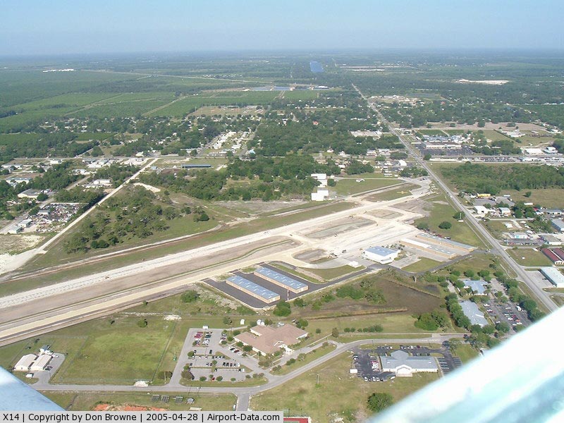
 |
(Click on the photo to enlarge) |
|
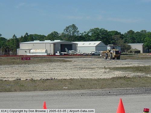 |
(Click on the photo to enlarge) |
|
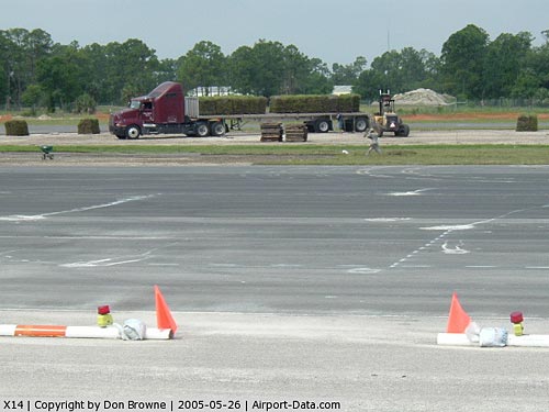 |
(Click on the photo to enlarge) |
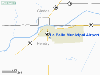
Location
& QuickFacts
|
FAA Information Effective: |
2007-01-18 |
|
Airport
Identifier: |
X14 |
|
Airport
Status: |
Operational |
|
Longitude/Latitude: |
081-25-57.2720W/26-44-39.2380N
-81.432576/26.744233 (Estimated) |
|
Elevation: |
18 ft / 5.49 m (Estimated) |
|
Land: |
120 acres |
|
From
nearest city: |
1 nautical miles S of La Belle, FL |
|
Location: |
Hendry County, FL |
|
Magnetic Variation: |
02W (1985) |
Owner
& Manager
|
Ownership: |
Publicly owned |
|
Owner: |
Hendry County |
|
Address: |
Po Box 1607
La Belle, FL 33975 |
|
Phone
number: |
863-675-5222 |
|
Manager: |
Tommy Vaughan |
|
Address: |
Po Box 1607
La Belle, FL 33975-1607 |
|
Phone number: |
863-675-1568 |
Airport
Operations and Facilities
|
Airport Use: |
Open to public |
|
Wind
indicator: |
Yes |
|
Segmented
Circle: |
No |
|
Control
Tower: |
No |
|
Lighting
Schedule: |
DUSK-DAWN
ACTVT MIRL RY 14/32, PAPI AND REIL RYS 14/32 - CTAF. |
|
Beacon
Color: |
Clear-Green (lighted land airport) |
|
Landing
fee charge: |
No |
|
Sectional
chart: |
Miami |
|
Region: |
ASO - Southern |
|
Boundary
ARTCC: |
ZMA - Miami |
|
Tie-in
FSS: |
MIA - Miami |
|
FSS
on Airport: |
No |
|
FSS
Phone: |
305-233-2600 |
|
FSS
Toll Free: |
1-800-WX-BRIEF |
|
NOTAMs
Facility: |
MIA (NOTAM-d service avaliable) |
|
Federal Agreements: |
NGY |
Airport
Communications
|
CTAF: |
122.800 |
|
Unicom: |
122.800 |
Airport
Services
|
Fuel available: |
100LLA
FUEL AVBL 24 HRS BY CREDIT CARD. |
|
Airframe Repair: |
MAJOR |
|
Power Plant Repair: |
MAJOR |
|
Bottled
Oxygen: |
NONE |
|
Bulk
Oxygen: |
NONE |
|
Runway Information
Runway 14/32
|
Dimension: |
5254 x 75 ft / 1601.4 x 22.9 m |
|
Surface: |
ASPH, Good Condition |
|
Edge
Lights: |
Medium |
|
|
Runway 14 |
Runway 32 |
|
Longitude: |
081-26-01.6700W |
081-25-21.9700W |
|
Latitude: |
26-44-45.0300N |
26-44-07.1200N |
|
Elevation: |
19.00
ft |
22.00
ft |
|
Traffic
Pattern: |
Left |
Left |
|
Markings: |
Basic, Good Condition |
Basic, Good Condition |
|
Crossing
Height: |
40.00 ft |
40.00 ft |
|
Displaced
threshold: |
350.00 ft |
129.00 ft |
|
VASI: |
4-light PAPI on right side |
4-light PAPI on left side |
|
Visual
Glide Angle: |
3.00� |
3.00� |
|
Runway
End Identifier: |
Yes |
Yes |
|
Radio Navigation
Aids
|
ID |
Type |
Name |
Ch |
Freq |
Var |
Dist |
|
APF |
NDB |
Naples |
|
201.00 |
03W |
39.9 nm |
|
PGD |
VOR |
Punta Gorda |
|
110.20 |
03W |
31.7 nm |
|
CYY |
VOR/DME |
Cypress |
023X |
108.60 |
03W |
40.1 nm |
|
LBV |
VORTAC |
La Belle |
041X |
110.40 |
01E |
5.5 nm |
|
RSW |
VORTAC |
Lee County |
055X |
111.80 |
02W |
22.5 nm |
|
PHK |
VORTAC |
Pahokee |
101X |
115.40 |
00E |
39.8 nm |
Remarks
- TKOFS
AND LNDGS ON TURF AREA ARE DONE SO AT PILOT'S OWN RISK.
Based Aircraft
|
Aircraft
based on field: |
101 |
|
Single
Engine Airplanes: |
80 |
|
Multi
Engine Airplanes: |
5 |
|
Helicopters: |
10 |
|
Gliders: |
1 |
|
Ultralights: |
5 |
Operational Statistics
Time Period: 2001-07-17
- 2002-07-16
|
Aircraft
Operations: |
61/Day |
|
Air Taxi: |
0.5% |
|
General
Aviation Local: |
67.6% |
|
General
Aviation Itinerant: |
31.8% |
La Belle Municipal Airport
Address:
Hendry County, FL
Tel:
863-675-5222,
863-675-1568
Images
and information placed above are from
http://www.airport-data.com/airport/X14/
We
thank them for the data!
| General
Info |
| Country |
United
States |
| State |
FLORIDA
|
| FAA ID |
X14
|
| Latitude |
26-44-39.238N
|
| Longitude |
081-25-57.272W
|
| Elevation |
18 feet
|
| Near City |
LA BELLE
|
We don't guarantee the information is fresh and accurate. The data may
be wrong or outdated.
For more up-to-date information please refer to other sources.
|
|