 |
|
Location
& QuickFacts
|
FAA Information Effective: |
2007-01-18 |
|
Airport
Identifier: |
FD21 |
|
Airport
Status: |
Operational |
|
Longitude/Latitude: |
083-34-47.5330W/30-07-40.7660N
-83.579870/30.127991 (Estimated) |
|
Elevation: |
26 ft / 7.92 m (Estimated) |
|
Land: |
1 acres |
|
From
nearest city: |
1 nautical miles NE of Perry, FL |
|
Location: |
Taylor County, FL |
|
Magnetic Variation: |
01W (1985) |
Owner
& Manager
|
Ownership: |
Privately owned |
|
Owner: |
Doctors Memorial Hospital |
|
Address: |
333 N. Byron Butler Pkwy
Perry, FL 32347 |
|
Phone
number: |
850-584-0800 |
|
Manager: |
Rick Brown, Ceo |
|
Address: |
333 N. Byron Butler Pkwy
Perry, FL 32347 |
|
Phone number: |
850-584-0800 |
Airport
Operations and Facilities
|
Airport Use: |
Private
MEDICAL USE. |
|
Wind
indicator: |
Yes |
|
Segmented
Circle: |
No |
|
Control
Tower: |
No |
|
Lighting
Schedule: |
DUSK-SAWN |
|
Sectional
chart: |
Jacksonville |
|
Region: |
ASO - Southern |
|
Boundary
ARTCC: |
ZJX - Jacksonville |
|
Tie-in
FSS: |
GNV - Gainesville |
|
FSS
Phone: |
850-377-3291 |
|
FSS
Toll Free: |
1-800-WX-BRIEF |
|
Runway Information
Helipad H1
|
Dimension: |
50 x 50 ft / 15.2 x 15.2 m |
|
Surface: |
CONC, |
|
|
Runway H1 |
Runway |
|
Traffic
Pattern: |
Left |
Left |
|
Radio Navigation
Aids
|
ID |
Type |
Name |
Ch |
Freq |
Var |
Dist |
|
FPY |
NDB |
Foley |
|
254.00 |
03W |
7.9 nm |
|
TL |
NDB |
Wakul |
|
379.00 |
01W |
42.1 nm |
|
OTK |
VOR/DME |
Valdosta |
095X |
114.80 |
02W |
42.2 nm |
|
GEF |
VORTAC |
Greenville |
027X |
109.00 |
01E |
27.5 nm |
|
CTY |
VORTAC |
Cross City |
057X |
112.00 |
02W |
42.2 nm |
|
SZW |
VORTAC |
Seminole |
122X |
117.50 |
02E |
48.6 nm |
|
TLH |
VOT |
Tallahassee Muni |
|
111.00 |
|
43.5 nm |
Remarks
- PRVDD
VFR/PRIVATE USE; OPNS CONDUCTED FROM 320-040 DEGS; AREA IS MKD; WIND
INDICATOR IS MAINTAINED; PINE TREES ARE REMOVED.
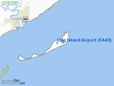
Dog Island Airport
Address: Taylor County,
FL
Tel:
850-584-0800
Images
and information placed above are from
http://www.airport-data.com/airport/FD21/
We
thank them for the data!
| General
Info |
| Country |
United
States |
| State |
FLORIDA
|
| FAA ID |
FD21
|
| Latitude |
30-07-40.766N
|
| Longitude |
083-34-47.533W
|
| Elevation |
26 feet
|
| Near City |
PERRY
|
We don't guarantee the information is fresh and accurate. The data may
be wrong or outdated.
For more up-to-date information please refer to other sources.
|
|


