 |
|
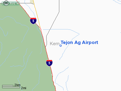
Location
& QuickFacts
|
FAA
Information Effective: |
2006-09-28 |
|
Airport
Identifier: |
97CA |
|
Longitude/Latitude: |
118-54-52.3600W/34-59-20.8890N
-118.914544/34.989136 (Estimated) |
|
Elevation: |
1065 ft / 324.61 m (Estimated) |
|
Land: |
0 acres |
|
From
nearest city: |
10 nautical miles N of Lebec, CA |
|
Location: |
Kern County, CA |
|
Magnetic Variation: |
14E (1985) |
Owner
& Manager
|
Ownership: |
Privately owned |
|
Owner: |
Tejon Agricultural Partners |
|
Address: |
4358 Laval Rd
Arvin, CA 93203 |
|
Phone number: |
805-858-2291 |
|
Manager: |
John Wood |
|
Address: |
4358 Laval Rd
Arvin, CA 93203 |
|
Phone number: |
805-858-2291 |
Airport
Operations and Facilities
|
Airport
Use: |
Private |
|
Wind
indicator: |
No |
|
Segmented
Circle: |
No |
|
Control
Tower: |
No |
|
Attendance
Schedule: |
UNATNDD |
|
Landing
fee charge: |
No |
|
Sectional
chart: |
Los Angeles |
|
Region: |
AWP - Western-Pacific |
|
Boundary
ARTCC: |
ZLA - Los Angeles |
|
Tie-in
FSS: |
RIU - Rancho Murieta |
|
FSS
on Airport: |
No |
|
FSS
Phone: |
916-354-0161 |
|
FSS
Toll Free: |
1-800-WX-BRIEF |
|
Runway Information
Runway 13/31
|
Dimension: |
3200 x 50 ft / 975.4 x 15.2 m |
|
Surface: |
DIRT-TRTD, |
|
|
Runway 13 |
Runway 31 |
|
Traffic
Pattern: |
Left |
Left |
|
Obstruction: |
|
40 ft pline, 500.0 ft from runway |
|
Radio Navigation
Aids
|
ID |
Type |
Name |
Ch |
Freq |
Var |
Dist |
|
GWF |
NDB |
Gen William J Fox |
|
282.00 |
15E |
37.6 nm |
|
CMA |
VOR/DME |
Camarillo |
105X |
115.80 |
15E |
47.5 nm |
|
GMN |
VORTAC |
Gorman |
108X |
116.10 |
16E |
11.4 nm |
|
LHS |
VORTAC |
Lake Hughes |
021X |
108.40 |
15E |
24.8 nm |
|
EHF |
VORTAC |
Shafter |
101X |
115.40 |
14E |
31.1 nm |
|
FIM |
VORTAC |
Fillmore |
072X |
112.50 |
15E |
38.1 nm |
|
PMD |
VORTAC |
Palmdale |
092X |
114.50 |
15E |
47.2 nm |
|
FLW |
VORTAC |
Fellows |
122X |
117.50 |
16E |
47.2 nm |
|
BFL |
VOT |
Bakersfield |
|
111.20 |
|
27.0 nm |
Remarks
Tejon Ag Airport
Address:
Kern County, CA
Tel:
805-858-2291
Images
and information placed above are from
http://www.airport-data.com/airport/97CA/
We
thank them for the data!
| General
Info |
| Country |
United
States |
| State |
CALIFORNIA
|
| FAA ID |
97CA
|
| Latitude |
34-59-20.889N
|
| Longitude |
118-54-52.360W
|
| Elevation |
1065 feet
|
| Near City |
LEBEC
|
We don't guarantee the information is fresh and accurate. The data may
be wrong or outdated.
For more up-to-date information please refer to other sources.
|
|


