|
|
Swanson Ranch Nr 1 Airport |
|
 |
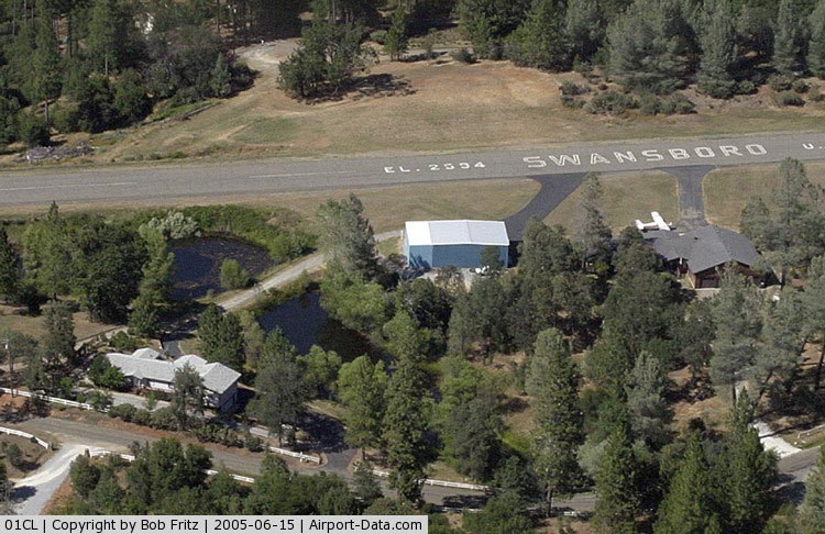
(Click on the photo to enlarge) |
|
 |
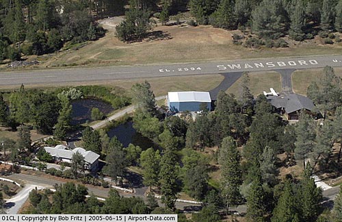
(Click on the photo to enlarge) |
Location
& QuickFacts
|
FAA
Information Effective: |
2006-09-28 |
|
Airport
Identifier: |
87CA |
|
Longitude/Latitude: |
119-37-03.4660W/36-23-59.8210N
-119.617629/36.399950 (Estimated) |
|
Elevation: |
248 ft / 75.59 m (Estimated) |
|
Land: |
0 acres |
|
From
nearest city: |
4 nautical miles N of Hanford, CA |
|
Location: |
Kings County, CA |
|
Magnetic Variation: |
15E (1985) |
Owner
& Manager
|
Ownership: |
Privately owned |
|
Owner: |
Ray Swanson |
|
Address: |
Star Route
Battle Mountain, NV 89820 |
|
Phone
number: |
209-587-3217 |
|
Manager: |
Ray C. Swanson |
|
Address: |
Star Route
Battle Mountain, NV 89820 |
|
Phone number: |
209-587-3217 |
Airport
Operations and Facilities
|
Airport
Use: |
Private |
|
Wind
indicator: |
No |
|
Segmented
Circle: |
No |
|
Control
Tower: |
No |
|
Attendance
Schedule: |
209-584-3217 |
|
Landing
fee charge: |
No |
|
Sectional
chart: |
San Francisco |
|
Region: |
AWP - Western-Pacific |
|
Boundary
ARTCC: |
ZOA - Oakland |
|
Tie-in
FSS: |
RIU - Rancho Murieta |
|
FSS
on Airport: |
No |
|
FSS
Phone: |
916-354-0161 |
|
FSS
Toll Free: |
1-800-WX-BRIEF |
|
Runway Information
Runway 07/25
|
Dimension: |
2500 x 35 ft / 762.0 x 10.7 m |
|
Surface: |
ASPH, |
|
|
Runway 07 |
Runway 25 |
|
Traffic
Pattern: |
Left |
Left |
|
Obstruction: |
50 ft plines, 1200.0 ft from runway |
|
|
Radio Navigation
Aids
|
ID |
Type |
Name |
Ch |
Freq |
Var |
Dist |
|
CUK |
NDB |
Academy |
|
266.00 |
14E |
19.9 nm |
|
COR |
NDB |
Salyer Farms |
|
205.00 |
16E |
20.5 nm |
|
FCH |
NDB |
Chandler |
|
344.00 |
15E |
22.1 nm |
|
NLC |
TACAN |
Lemoore |
080X |
|
16E |
17.2 nm |
|
VIS |
VOR/DME |
Visalia |
031X |
109.40 |
16E |
6.8 nm |
|
TTE |
VOR/DME |
Tule |
029X |
109.20 |
16E |
41.2 nm |
|
CZQ |
VORTAC |
Clovis |
076X |
112.90 |
15E |
30.6 nm |
|
FRA |
VORTAC |
Friant |
103X |
115.60 |
17E |
42.4 nm |
|
AVE |
VORTAC |
Avenal |
118X |
117.10 |
16E |
48.5 nm |
Remarks
Based Aircraft
|
Aircraft
based on field: |
1 |
|
Single
Engine Airplanes: |
1 |
Swanson Ranch Nr 1 Airport
Address:
Kings County, CA
Tel:
209-587-3217
Images
and information placed above are from
http://www.airport-data.com/airport/87CA/
We
thank them for the data!
| General
Info |
| Country |
United
States |
| State |
CALIFORNIA
|
| FAA ID |
87CA
|
| Latitude |
36-23-59.821N
|
| Longitude |
119-37-03.466W
|
| Elevation |
248 feet
|
| Near City |
HANFORD
|
We don't guarantee the information is fresh and accurate. The data may
be wrong or outdated.
For more up-to-date information please refer to other sources.
|
|