|
 |
|
||||
|
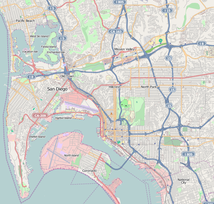
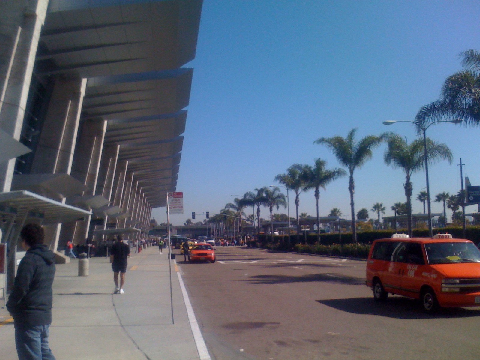
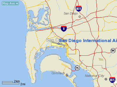
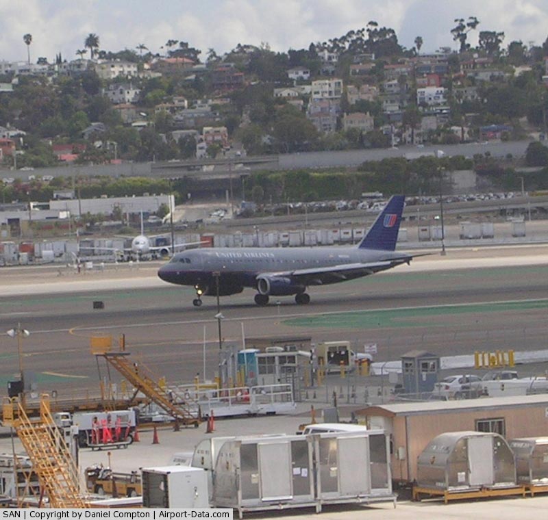
FAA diagram of San Diego International Airport San Diego International Airport (IATA: SAN, ICAO: KSAN, FAA LID: SAN), sometimes referred to as Lindbergh Field, is a public airport located 3 mi (4.8 km) northwest of the central business district of San Diego, California and 20 mi (32 km) from the Mexico – United States border at Tijuana, Mexico. It is operated by the San Diego County Regional Airport Authority. San Diego International is the busiest single-runway commercial service airport in the United States, and second in the world after London Gatwick, with approximately 600 departures and arrivals carrying 50,000 passengers each day, and a total of 18.3 million passengers in 2007. San Diego is the largest metropolitan area of the United States which does not serve as a hub nor secondary hub (or focus city) for any airline. The History Channel program Most Extreme Airports, ranks it as the 10th most dangerous airport in the world. The top three airlines in terms of market share are Southwest Airlines (36.2%), Delta Air Lines (10.9%), and American Airlines (10.6%). HistoryThe airport is located near the site of the old Ryan Airlines factory, but it is not the same as Dutch Flats, the Ryan airstrip where Charles Lindbergh flight tested the Spirit of St. Louis before his historic transatlantic flight. The site of Dutch Flats is on the other side of the Marine Corps Recruit Depot, in the Midway area, near the current intersection of Midway and Barnett avenues. Inspired by Lindbergh's historic flight and excited to have made the plane he flew, the city of San Diego passed a bond issue in 1928 for construction of a two-runway municipal airport to be operated by the city. Lindbergh himself encouraged the building of the airport and agreed to lend his name to it. The new airport, dedicated on August 16, 1928, was given the name San Diego Municipal Airport - Lindbergh Field, by which name it is still known. This naming occurred because San Diego was the city from which Lindbergh began the journey that would ultimately become the first solo transatlantic flight, in addition to being the place where his aircraft was designed, built, and tested, at Dutch Flats. The airport was the first federally certified airfield to serve all aircraft types, including seaplanes. The original terminal was located on the northeastern side of the field, along Pacific Highway. The airport also served as a testing facility for several early U.S. sailplane designs, notably those by William Hawley Bowlus (superintendent of construction on the Spirit of St. Louis) who also operated the Bowlus Glider School at Lindbergh Field from 1929-1930. On June 1, 1930, a regular San Diego-Los Angeles airmail route was initiated. The airport gained 'international airport' status in 1934, and a United States Coast Guard Air Base located adjacent to the field was commissioned in April 1937. The Coast Guard's fixed-wing aircraft made use of the runway at Lindbergh Field until the mid 1990's when the fixed-wing aircraft were retired. World War II brought significant change to the airfield when the Army Air Corps took it over in 1942 to support the war effort. The infrastructure of the airport was improved to handle the heavy bombers being manufactured in the region during the war. This transformation, including an 8,750 ft (2,670 m) runway, made the airport "jet-ready' long before jet passenger planes came into widespread service. After the war, commercial air service at Lindbergh Field expanded rapidly. Pacific Southwest Airlines established its headquarters in San Diego and inaugurated service at Lindbergh Field in 1949 to points throughout California. In 1960, Lindbergh Field gained its first jet service, with American Airlines and United Airlines operating the Boeing 720 to Phoenix and San Francisco, respectively. The original terminal on the north side of the airport was used until the 1960s, but by that time, air traffic in San Diego had increased considerably and new facilities were needed badly. As downtown San Diego developed, one of the airport's two runways was closed leaving only one functional runway. The current Terminal 1 was opened on the southern side of the airport property on March 5, 1967. It was not until July 11, 1979 that Terminal 2 was opened. A third terminal, dubbed the Commuter Terminal, opened on July 23, 1996. Terminal 2 was later expanded by 300,000 square feet (30,000 m) in 1998. In the 1990s, the official name of the airport became San Diego International Airport, but is still often referred to as Lindbergh Field by the local residents. There use to be a non stop flight to London-Heathrow operated by British Airways, but service was terminated in 2003. Originally funded, built and operated by the City of San Diego, then the San Diego Unified Port District, the airport is now operated by the San Diego County Regional Airport Authority. The Green BuildSan Diego International Airport's expansion program, dubbed "The Green Build", is expected to help the airport meet current and future travel demands. Expected to be complete in early 2013, the project focuses on expansion and enhancements at Terminal 2. Additions include 10 new gates on the west side of Terminal 2 West, a dual-level roadway separating arriving and departing passengers, additional security lanes, and an expanded concession area. Flight operations
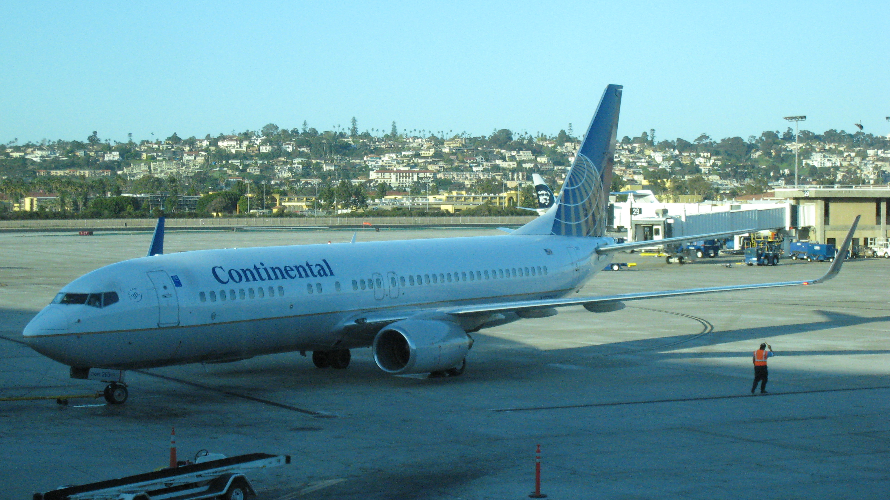
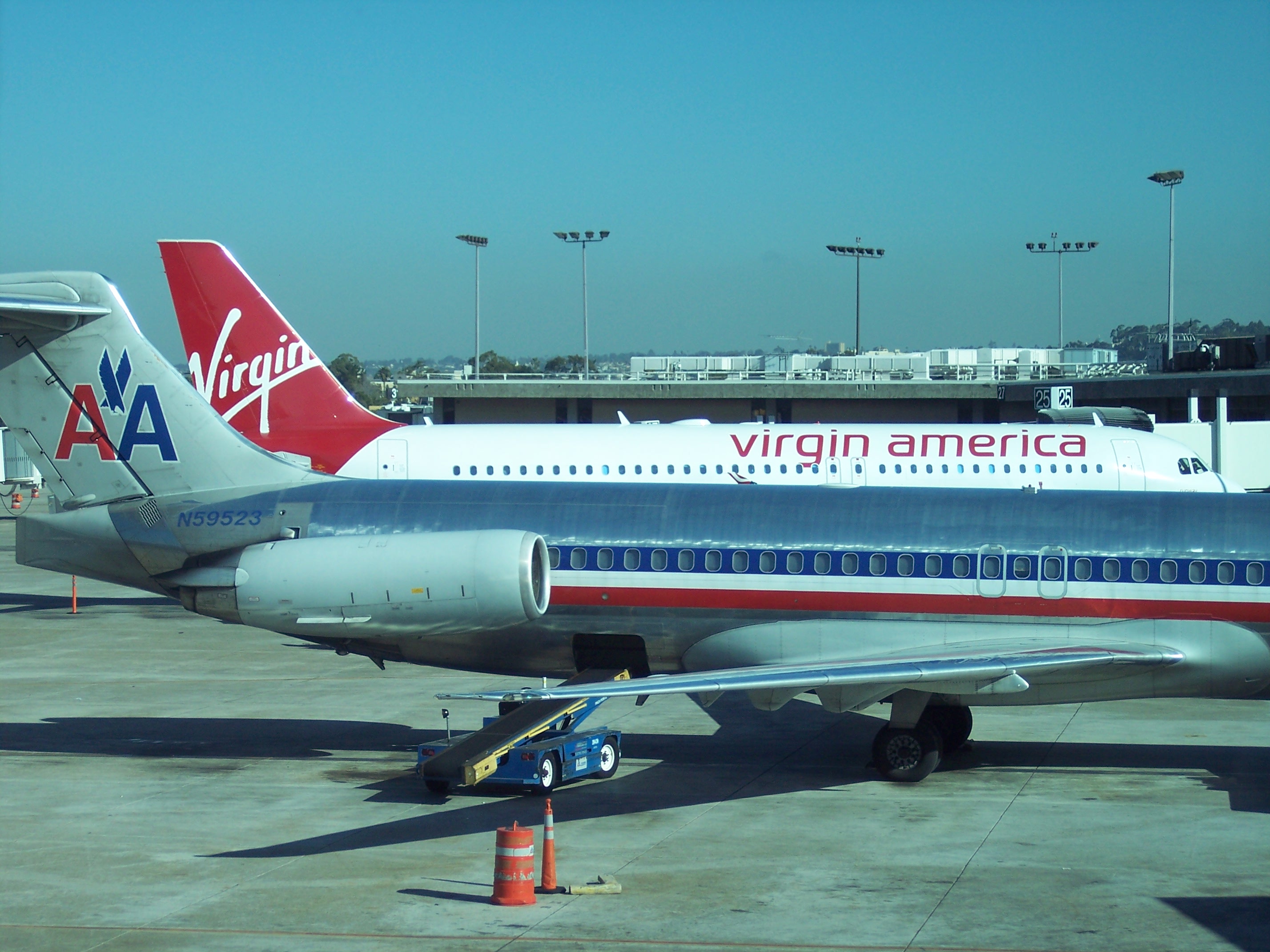
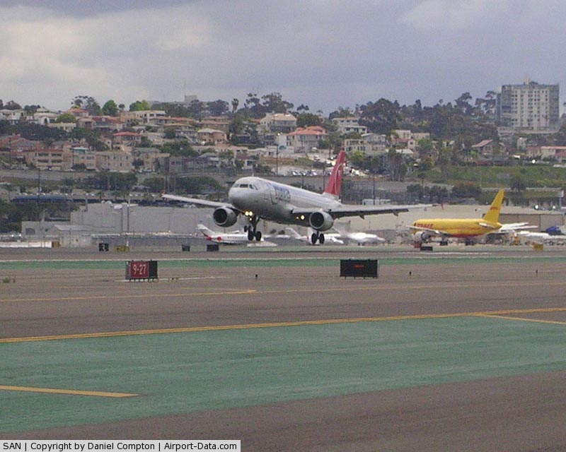
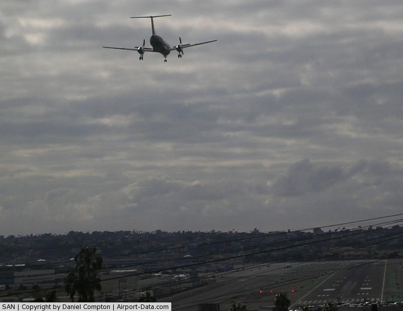
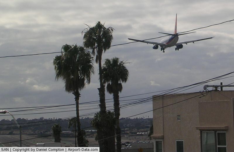
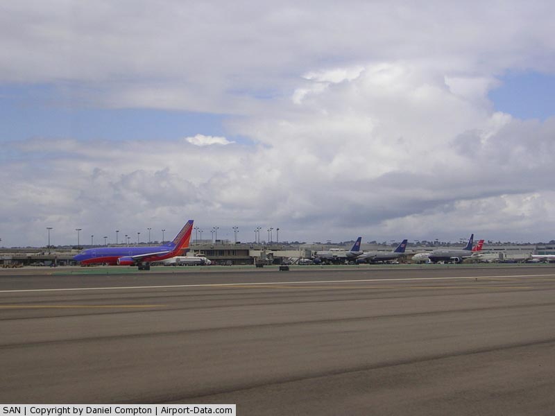
The vast majority of takeoffs and landings at SAN are from east to west. Landing at the airport from the east (the most common approach) offers dramatic closeup views of skyscrapers, Petco Park (home of the San Diego Padres), and the Coronado Bridge from the left side of the aircraft. On the right, Balboa Park, site of the 1915-1916 Panama-California Exposition, can be seen, along with the San Diego Zoo and several freeways. The approach from the east is steep, necessitated by terrain which drops from 266 ft (81 m) to sea level in less than one nautical mile. Aircraft normally descend at 318 feet per nautical mile (52.3 m/km), or 3.00 degrees. Recently, some obstructions have been removed and the glidepath has been lowered from 3.5 degrees to 3.14 degrees (http://204.108.4.16/d-tpp/1006/00373L27.PDF). San Diego's only runway is located at the base of a hill lined with several obstructions, including Interstate 5 and trees in Balboa Park. Contrary to local lore, the parking structure off the end of the runway was built long after previous obstructions built up east of I-5. The parking structure was then built up to this controlling limit. Aircraft arriving from the east do not land at the end of the runway as at most airports, but land at what is called a displaced threshold, located 1,810 feet (550 m) from the runway end, effectively shortening the landing distance to 7,591 feet (2,314 m). Aircraft departing to the west use the east end of the runway as their departure point, but terrain west of the airport reduces the effective runway length to roughly 8,000-feet. Reverse operationsUnder Santa Ana wind conditions , operations are reversed with landings and takeoffs to the east. Because of the terrain east of the airport, weight limits are imposed on departing aircraft under these conditions depending on the strength of the headwind. Also, when visibility is below 2 miles, operations are again reversed. Because of terrain east of the airport, some aircraft require departures to the west to take advantage of the prevailing winds out of the west and reduced terrain creating head to head operations. This can cause traffic problems and delays both in the air and on the ground. Terrain east and west of the airport greatly impacts the available runway length. Runway 27 (heading west) has a climb gradient of 317 ft/nmi (52.2 m/km) feet per nautical mile leaving an equivalent takeoff distance of roughly 8,000 ft (2,400 m) for twin engine aircraft). Taking off to the east requires a 600 ft/nmi (99 m/km) climb rate, this leaves an equivalent takeoff distance of 6,400 ft (2,000 m), enough to force a weight penalty on the 737-800. It should also be noted that Lindbergh Field does not have standard runway safety areas 1,000 ft (300 m) in length at each runway end. An engineered materials arrestor system (EMAS) has been installed at the west end of the runway to catch any aircraft overruns. The east end of the runway does not have such a system as its use would reduce the runway length by at least 400 ft (120 m), further impacting the runway's capability for departures to the west. Instead, the use of declared distances reduces the mathematical length of Runway 9 (west to east operations) by declaring that the eastern most end of Runway 9 is 1,121 feet shorter than it actually is (a net length of 8,280-feet). (See ASDA: http://www.airnav.com/airport/KSAN) In general, use of a portion of a runway is better than a normal safety area because it is a paved and grooved surface providing full stopping power vs. a typical safety area that is usually smoothed and graded earth or grass. Noise curfewSAN is located in a highly populated area. To appease the airport's neighbors' concerns over noise and the associated lawsuit, a curfew was put in place in 1979. Departures are allowed between 6:30 am and 11:30 pm. Outside those hours, departures are subject to a large fine. Arrivals are permitted 24 hours per day Several flights are scheduled with departure times before 6:15 am. These times, however, are pushback times. First takeoff roll is at 6:30 am. Current statusAs of October, 2010, San Diego International Airport is served by 20 passenger airlines and four cargo airlines which fly nonstop to 49 destinations in the United States, Canada, and Mexico. The busiest route in terms of operations is to Los Angeles with 34 daily round trips split between United Express, American Eagle, and Delta Connection. The busiest route in terms of available seats per day is to Oakland spread across 14 weekday round trips on Southwest Airlines. In January 2008, San Diego International Airport entered the blogosphere with the launch of the first employee blog - the Ambassablog - for a major U.S. airport. Written by front-line employees, the blog features regular posts on airport activities, events and initiatives; reader comments; and several multimedia and interactive features. It has been presented as a case study in employee blogging to several public agencies at the federal, state and local levels. In February 2008, San Diego International Airport became one of the first major airports in the U.S. to adopt a formal sustainability policy, which expresses the airport's commitment to a four-layer approach to sustainability known as EONS. As promulgated by Airports Council International - North America, EONS represents an integrated "quadruple bottom line" of (E)conomic viability, (O)perational excellence, (N)atural resource conservation and preservation and (S)ocial responsibility. In May 2008, the California Attorney General, Jerry Brown, announced an agreement with San Diego International Airport on reducing greenhouse gas emissions associated with the airport's proposed master plan improvements. In announcing the agreement, the Attorney General's office said "San Diego airport will play a key leadership role in helping California meet its aggressive greenhouse gas reduction targets." Public transport is provided by Metropolitan Transit System bus #992, which connects the airport to downtown San Diego, where connections can be made to other bus routes and the San Diego Trolley, COASTER, and Amtrak's Pacific Surfliner. San Diego International Airport is testing a new system of airfield lights called Runway Status Lights (RWSL). Its is also rehabilitating the north taxiway and replacing its airfield lighting and signage with energy efficient LED lights where possible (LEDs are only permissible for use on Taxiway Lights, Obstruction Lights, Signage and Medium Intensity Runway Lights at this time - the runway at San Diego uses High Intensity Runway Lights) and constructing 10 new gates for Terminal 2 West. USCG operationsAn interesting feature of the airport is the existence of the U.S. Coast Guard (USCG) air station in the south-east corner of the airfield. The installation originally supported fixed-wing seaplane operations, with seaplane ramps leading into the bay, as well as conventional land-based fixed-wing aircraft and rotary-wing operations. The air station is physically separated from the rest of the airfield, so that USCG fixed-wing aircraft must cross North Harbor Drive, a busy, 6-lane city street, to reach the runway. Street light activation opens the locked gates to the airfield and the air station, and also stops traffic while aircraft are crossing the street. This was a common occurrence during the 1970s, 1980s and early 1990s when CGAS San Diego had both HH-3F Pelican and HH-60J Jayhawk helicopters and HU-25 Guardian jets assigned. Today, this is an extremely rare occurrence, as CGAS San Diego's HU-25As have been reassigned and there are no fixed-wing aircraft currently assigned to Coast Guard Air Station San Diego. Relocation proposals
California State Assembly Bill AB 93 created the San Diego County Regional Airport Authority in 2001. The SDCRAA Projects SAN Will be constrained due to congestion between 2015-2022. In June 2006, SDCRAA board members selected Marine Corps Air Station Miramar as its preferred site for a replacement airport, despite military objections. On November 7, 2006, San Diego County residents defeated an advisory relocation which included a joint use proposal measure. The airport is operating with 71% of its total gate capacity of 60 gates and will soon add 10 more gates taking the airport to 92% of its total gate capacity. Twenty-two studies have been conducted on where to place an airport dating back to 1923. The first study developed the site location plan for Lindbergh field. Eighteen studies were conducted by private groups, most in the early days by those who were opposed to Lindbergh being built instead of on land set aside at what is now Montgomery Field. One was a revisitation of a study done in the 80's by the City in 1994 when Miramar closed as a Navy Base and was then transferred to a Marine Base. Another was by the City of San Diego in 1984 and another that started in 1996 and sat dormant with SANDAG until the Airport Authority was formed. This study is the first study ever done to look for a new site by an agency that actually had jurisdiction over the issue, and the first non-site specific comprehensive study of the entire region. Terminals, airlines and destinations
There are three terminals at Lindbergh:
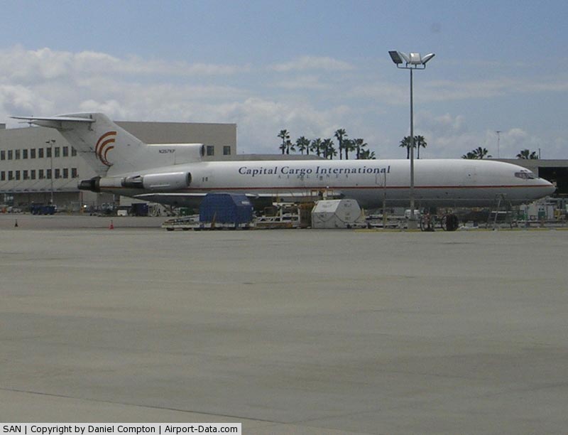
Cargo airlines
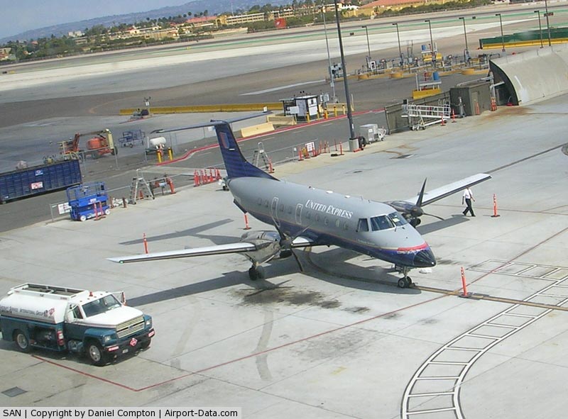
General aviationLandmark Aviation is the FBO (fixed base operator) at San Diego International Airport. Landmark services all aircraft ranging from single engine Cessna aircraft to four engine Boeing 747s. Generally, they service corporate traffic to the airport. The FBO ramp is located at the north-east end of the airfield. Landmark Aviation was formerly known as Jimsair Aviation Services. Jimsair was the FBO at the airport for 55 years, until July 2008, when they were purchased by Landmark Aviation. Other nearby commercial airportsTijuana International Airport is directly adjacent the Mexico – United States border. The Tijuana airport offers intercontinental nonstop flights to Shanghai, China as well as to many destinations within Mexico. Tijuana used to have flights to Tokyo-Narita, however this flight now only operates as a westbound fuel stop to Narita. The eastbound operation operates nonstop between Tokyo and Mexico City. When Aeromexico began offering flights from Tijuana to Asia they hoped to attract passengers from both sides of the border, including those from as far away as Orange County. The airline offers complimentary shuttle service from San Diego. Various proposals for cross border terminals have been discussed over the years and a Presidential permit for the border crossing was issued in the summer of 2010. Nearby military airportsNaval Air Station North Island is located directly across San Diego Bay from Lindbergh Field, approximately 1.5 mi (2.4 km) to the south. MCAS Miramar is located 13 miles north-east of Lindbergh Field. Accidents and incidents
Awards
Endangered species habitatA portion of the southeast infield at San Diego International Airport is set aside as a nesting site for the endangered California Least Tern. The least tern nests on three ovals from March through September. Approximately 135 nests were established there in 2007. The above content comes from Wikipedia and is published under free licenses – click here to read more.
Runway InformationRunway 09/27
Radio Navigation Aids
Remarks
Based Aircraft
Major Carriers Serving This Airport
Most Popular Destinations
Most Popular Aircraft
Operational Statistics
San Diego International Airport Address: San Diego County, CA Tel: (619) 400-26, (619) 400-27 Images
and information placed above are from We thank them for the data!
We don't guarantee the information is fresh and accurate. The data may
be wrong or outdated. |
||||||||||||||||||||||||||||||||||||||||||||||||||||||||||||||||||||||||||||||||||||||||||||||||||||||||||||||||||||||||||||||||||||||||||||||||||||||||||||||||||||||||||||||||||||||||||||||||||||||||||||||||||||||||||||||||||||||||||||||||||||||||||||||||||||||||||||||||||||||||||||||||||||||||||||||||||||||||||||||||||||||||||||||||||||||||||||||||||||||||||||||||||||||||||||||||||||||||||||||||||||||||||||||||||||||||||||||||||||||||||||||||||||||||||||||||||||||||||||||||||||||||||||||||||||||||||||||||||||||||||||||||||||||||||||||||||||||||

 |
|
Copyright 2004-2024 © by Airports-Worldwide.com, Vyshenskoho st. 36, Lviv 79010, Ukraine Legal Disclaimer |