 |
|
Location
& QuickFacts
|
FAA
Information Effective: |
2006-09-28 |
|
Airport
Identifier: |
CN26 |
|
Longitude/Latitude: |
121-17-03.8740W/39-57-59.5880N
-121.284409/39.966552 (Estimated) |
|
Elevation: |
1560 ft / 475.49 m (Estimated) |
|
Land: |
2040 acres |
|
From
nearest city: |
0 nautical miles of Belden, CA |
|
Location: |
Plumas County, CA |
|
Magnetic Variation: |
17E (1985) |
Owner
& Manager
|
Ownership: |
Privately owned |
|
Owner: |
Pacific Gas & Electric Co |
|
Address: |
77 Beale St, Rm.3b02
San Francisco, CA 94106 |
|
Manager: |
Division Land Supervisor |
|
Address: |
Pac Gas & Elec Co/po Box 49
Chico, CA 95927 |
|
Phone number: |
415-781-4211
EXT 2482. |
Airport
Operations and Facilities
|
Airport
Use: |
Private |
|
Wind
indicator: |
Yes |
|
Segmented
Circle: |
No |
|
Control
Tower: |
No |
|
Attendance
Schedule: |
ALL/MON-FRI/0800-1700 |
|
Landing
fee charge: |
No |
|
Sectional
chart: |
San Francisco |
|
Region: |
AWP - Western-Pacific |
|
Boundary
ARTCC: |
ZOA - Oakland |
|
Tie-in
FSS: |
RIU - Rancho Murieta |
|
FSS
Phone: |
916-354-0161 |
|
FSS
Toll Free: |
1-800-WX-BRIEF |
|
Runway Information
Helipad H1
|
Dimension: |
50 x 50 ft / 15.2 x 15.2 m |
|
Surface: |
ASPH, |
|
|
Runway H1 |
Runway |
|
Traffic
Pattern: |
Left |
Left |
|
Radio Navigation
Aids
|
ID |
Type |
Name |
Ch |
Freq |
Var |
Dist |
|
OVE |
NDB |
Oroville |
|
212.00 |
16E |
32.4 nm |
|
PBT |
NDB |
Proberta |
|
338.00 |
16E |
44.7 nm |
|
CIC |
VOR/DME |
Chico |
035X |
109.80 |
16E |
28.0 nm |
|
RBL |
VORTAC |
Red Bluff |
104X |
115.70 |
18E |
44.5 nm |
Based Aircraft
|
Aircraft
based on field: |
1 |
|
Helicopters: |
1 |
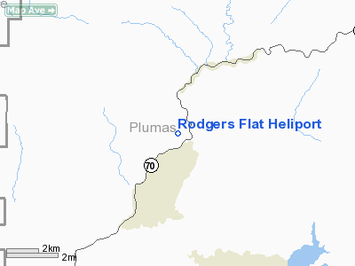
Rodgers Flat Heliport
Address:
Plumas County, CA
Tel:
415-781-4211
Images
and information placed above are from
http://www.airport-data.com/airport/CN26/
We
thank them for the data!
| General
Info |
| Country |
United
States |
| State |
CALIFORNIA
|
| FAA ID |
CN26
|
| Latitude |
39-57-59.588N
|
| Longitude |
121-17-03.874W
|
| Elevation |
1560 feet
|
| Near City |
BELDEN
|
We don't guarantee the information is fresh and accurate. The data may
be wrong or outdated.
For more up-to-date information please refer to other sources.
|
|


