 |
|
|
|
|
|
Location
& QuickFacts
|
FAA
Information Effective: |
2006-09-28 |
|
Airport
Identifier: |
O39 |
|
Longitude/Latitude: |
120-21-59.0000W/40-48-11.6320N
-120.366389/40.803231 (Estimated) |
|
Elevation: |
5299 ft / 1615.14 m (Estimated) |
|
Land: |
10 acres |
|
From
nearest city: |
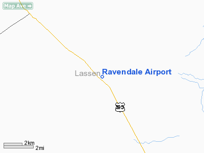
0 nautical miles N of Ravendale, CA |
|
Location: |
Lassen County, CA |
|
Magnetic Variation: |
17E (1985) |
Owner
& Manager
|
Ownership: |
Publicly owned |
|
Owner: |
County Of Lassen |
|
Address: |
707 Nevada St
Susanville, CA 96130 |
|
Phone
number: |
916-851-8288 |
|
Manager: |
Tracy Totten
LASSEN COUNTY ASSISTANT DIRECTOR OF PUBLIC WORKS. |
|
Address: |
707 Nevada St
Susanville, CA 96130 |
|
Phone
number: |
916-851-8299
PUBLIC WORKS OFFICE; SUSANVILLE; CA. |
Airport
Operations and Facilities
|
Airport
Use: |
Open to public |
|
Wind
indicator: |
Yes |
|
Segmented
Circle: |
Yes |
|
Control
Tower: |
No |
|
Attendance
Schedule: |
UNATNDD |
|
Landing
fee charge: |
No |
|
Sectional
chart: |
Klamath Falls |
|
Region: |
AWP - Western-Pacific |
|
Traffic
Pattern Alt: |
800 ft |
|
Boundary
ARTCC: |
ZOA - Oakland |
|
Tie-in
FSS: |
RNO - Reno |
|
FSS
on Airport: |
No |
|
FSS
Phone: |
775-858-1300 |
|
FSS
Toll Free: |
1-800-WX-BRIEF |
|
NOTAMs
Facility: |
RNO (NOTAM-d service avaliable) |
Airport
Communications
Airport
Services
|
Airframe
Repair: |
NONE |
|
Power
Plant Repair: |
NONE |
|
Bottled
Oxygen: |
NONE |
|
Bulk
Oxygen: |
NONE |
|
Runway Information
Runway 17/35
|
Dimension: |
2920 x 30 ft / 890.0 x 9.1 m |
|
Surface: |
ASPH, Poor Condition |
|
|
Runway 17 |
Runway 35 |
|
Traffic
Pattern: |
Left |
Left |
|
Markings: |
Nonstandard, Poor Condition |
Nonstandard, Poor Condition |
|
Displaced
threshold: |
0.00
ft |
900.00 ft
DSPLCD THLD NSTD YELLOW MARKINGS. |
|
Runway
End Identifier: |
No |
No |
|
Centerline
Lights: |
No |
No |
|
Touchdown
Lights: |
No |
No |
|
Obstruction: |
, 50:1 slope to clear |
50 ft pole, 200.0 ft from runway
RWY 35 APCH RATIO TO DSPLCD THLD 34:1; APCH RATIO TO DSPLCD
THLD FM 32' TELEPHONE POLE
HIGHWAY 20 FT FM THLD +65 FT TREE 150 FT FM THLD. |
|
Radio Navigation
Aids
|
ID |
Type |
Name |
Ch |
Freq |
Var |
Dist |
|
ARU |
NDB |
Alturas |
|
215.00 |
18E |
41.1 nm |
|
AHC |
VOR/DME |
Amedee |
027X |
109.00 |
17E |
33.6 nm |
Remarks
- UNPAVED
AREAS EXTREMELY SOFT WHEN WET.
- ALL
RY 17/35 MARKINGS BADLY FADED.
Operational Statistics
|
Aircraft
Operations: |
31/Month |
|
General
Aviation Itinerant: |
100.0% |
Ravendale Airport
Address:
Lassen County, CA
Tel:
916-851-8288, 916-851-8299
Images
and information placed above are from
http://www.airport-data.com/airport/O39/
We
thank them for the data!
| General
Info |
| Country |
United
States |
| State |
CALIFORNIA
|
| FAA ID |
O39
|
| Latitude |
40-48-11.632N
|
| Longitude |
120-21-59.000W
|
| Elevation |
5299 feet
|
| Near City |
RAVENDALE
|
We don't guarantee the information is fresh and accurate. The data may
be wrong or outdated.
For more up-to-date information please refer to other sources.
|
|


