 |
|
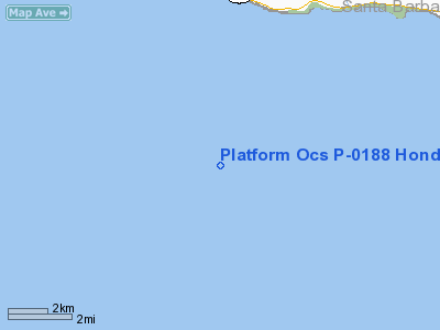
Platform Ocs P-0188 Hondo Heliport |
|
|
Location
& QuickFacts
|
FAA
Information Effective: |
2006-09-28 |
|
Airport
Identifier: |
CA98 |
|
Longitude/Latitude: |
120-07-17.4170W/34-23-26.5710N
-120.121505/34.390714 (Estimated) |
|
Elevation: |
142 ft / 43.28 m (Estimated) |
|
Land: |
0 acres |
|
From
nearest city: |
20 nautical miles SW of Santa Barbara, CA |
|
Location: |
Santa Barbara County, CA |
|
Magnetic Variation: |
14E (1985) |
Owner
& Manager
|
Ownership: |
Privately owned |
|
Owner: |
Exxon Co Usa |
|
Address: |
225 W. Hillcrest Dr
Thousand Oaks, CA 91360-4211 |
|
Phone
number: |
805-494-2000 |
|
Manager: |
L.r. Howard |
|
Address: |
225 W. Hillcrest Drive
Thousand Oaks, CA 91360-4211 |
|
Phone number: |
805-494-2000 |
Airport
Operations and Facilities
|
Airport Use: |
Private |
|
Wind indicator: |
Yes |
|
Segmented Circle: |
No |
|
Control Tower: |
No |
|
Attendance Schedule: |
ALL/ALL/ALL |
|
Lighting Schedule: |
DUSK-DAWN |
|
Landing fee charge: |
No |
|
Sectional chart: |
Los Angeles |
|
Region: |
AWP - Western-Pacific |
|
Boundary ARTCC: |
ZLA - Los Angeles |
|
Tie-in FSS: |
HHR - Hawthorne |
|
FSS on Airport: |
No |
|
FSS Phone: |
310-970-0102 |
|
FSS Toll Free: |
1-800-WX-BRIEF |
Airport
Communications
|
Runway Information
Helipad H1
|
Dimension: |
60 x 60 ft / 18.3 x 18.3 m |
|
Surface: |
MATS, |
|
|
Runway H1 |
Runway |
|
Traffic
Pattern: |
Left |
Left |
|
Radio Navigation
Aids
|
ID |
Type |
Name |
Ch |
Freq |
Var |
Dist |
|
VBG |
TACAN |
Vandenberg |
059Y |
|
15E |
30.7 nm |
|
GLJ |
VOR |
Guadalupe |
|
111.00 |
16E |
39.1 nm |
|
GVO |
VORTAC |
Gaviota |
085X |
113.80 |
16E |
8.6 nm |
|
RZS |
VORTAC |
San Marcus |
096X |
114.90 |
14E |
18.8 nm |
|
FLW |
VORTAC |
Fellows |
122X |
117.50 |
16E |
44.1 nm |
Remarks
- ROOFTOP,
DIAMOND STEEL PLATE.
- 16-100
WATT BLUE AND ORANGE LANDING LGTS.
- 2-
ROTATING PEDESTAL CRANES AND MISC PROCESS EQUIP.
- ROTATING
CRANE - VARIES.
- (E3A)
ADDNL PHONE NR TO HHR FSS 1-WX-BRIEF.
- VFR
PVT USE ONLY.
Platform Ocs P-0188 Hondo Heliport
Address:
Santa Barbara County, CA
Tel:
805-494-2000
Images
and information placed above are from
http://www.airport-data.com/airport/CA98/
We
thank them for the data!
| General
Info |
| Country |
United
States |
| State |
CALIFORNIA
|
| FAA ID |
CA98
|
| Latitude |
34-23-26.571N
|
| Longitude |
120-07-17.417W
|
| Elevation |
142 feet
|
| Near City |
SANTA
BARBARA |
We don't guarantee the information is fresh and accurate. The data may
be wrong or outdated.
For more up-to-date information please refer to other sources.
|
|


