|
|
Petaluma Municipal Airport |
| Petaluma Municipal Airport |
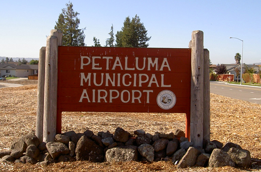 |
| sign outside Petaluma Municipal Airport |
| IATA: none – ICAO: none – FAA LID: O69 |
| Summary |
| Airport type |
Public |
| Operator |
City of Petaluma |
| Location |
Petaluma |
| Elevation AMSL |
87 ft / 26.5 m |
| Coordinates |
38°15′28″N 122°36′20″W / 38.25778°N 122.60556°W / 38.25778; -122.60556Coordinates: 38°15′28″N 122°36′20″W / 38.25778°N 122.60556°W / 38.25778; -122.60556 |
| Runways |
| Direction |
Length |
Surface |
| ft |
m |
| 11/29 |
3,601 |
1,097 |
Asphalt |
Petaluma Municipal Airport (FAA LID: O69) is a public airport located one mile (1.6 km) northeast of the central business district (CBD) of Petaluma, a city in Sonoma County, California, USA. The airport covers 220 acres (89 ha) and has one runway 3601 x 75 feet. It is mostly used for general aviation.
 | |
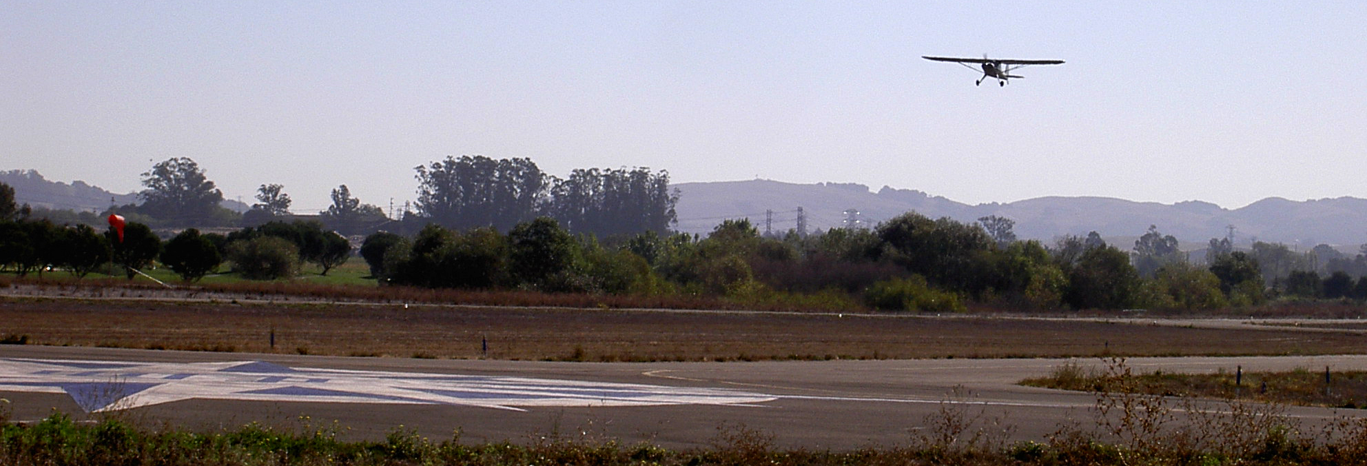
prop plane taking off from Petaluma Municipal Airport |
The above content comes from Wikipedia and is published under free licenses – click here to read more.
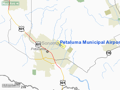
Location
& QuickFacts
|
FAA
Information Effective: |
2006-09-28 |
|
Airport
Identifier: |
O69 |
|
Longitude/Latitude: |
122-36-19.9460W/38-15-28.1970N
-122.605541/38.257832 (Estimated) |
|
Elevation: |
87 ft / 26.52 m (Surveyed) |
|
Land: |
220 acres |
|
From
nearest city: |
1 nautical miles NE of Petaluma, CA |
|
Location: |
Sonoma County, CA |
|
Magnetic Variation: |
16E (1985) |
Owner
& Manager
|
Ownership: |
Publicly owned |
|
Owner: |
City Of Petaluma |
|
Address: |
Po Box 61
Petaluma, CA 94952 |
|
Phone
number: |
707-778-4345 |
|
Manager: |
Michael Glose |
|
Address: |
601 Sky Ranch Drive
Petaluma, CA 94954 |
|
Phone number: |
707-778-4404 |
Airport
Operations and Facilities
|
Airport
Use: |
Open to public |
|
Wind
indicator: |
Yes |
|
Segmented
Circle: |
Yes |
|
Control
Tower: |
No |
|
Attendance
Schedule: |
ALL/ALL/0800-1700 |
|
Lighting
Schedule: |
DUSK-DAWN
ACTVT PAPI RY 29 - CTAF. |
|
Beacon
Color: |
Clear-Green (lighted land airport) |
|
Landing
fee charge: |
No |
|
Sectional
chart: |
San Francisco |
|
Region: |
AWP - Western-Pacific |
|
Traffic
Pattern Alt: |
1000 ft |
|
Boundary
ARTCC: |
ZOA - Oakland |
|
Tie-in
FSS: |
OAK - Oakland |
|
FSS
on Airport: |
No |
|
FSS
Phone: |
510-273-6111 |
|
FSS
Toll Free: |
1-800-WX-BRIEF |
|
NOTAMs
Facility: |
OAK (NOTAM-d service avaliable) |
|
Federal Agreements: |
NGY |
Airport
Communications
|
CTAF: |
122.700 |
|
Unicom: |
122.700 |
Airport
Services
|
Fuel
available: |
100LLA |
|
Airframe
Repair: |
MAJOR |
|
Power
Plant Repair: |
MAJOR |
|
Bottled
Oxygen: |
HIGH/LOW |
|
Bulk
Oxygen: |
LOW |
|
Runway Information
Runway 11/29
|
Dimension: |
3600 x 75 ft / 1097.3 x 22.9 m |
|
Surface: |
ASPH, Fair Condition |
|
Weight
Limit: |
Single wheel: 12500 lbs. |
|
Edge
Lights: |
Medium |
|
|
Runway 11 |
Runway 29 |
|
Longitude: |
122-36-37.5300W |
122-36-00.7700W |
|
Latitude: |
38-15-38.3500N |
38-15-17.7000N |
|
Elevation: |
87.00 ft |
74.00 ft |
|
Alignment: |
125 |
127 |
|
Traffic
Pattern: |
Left |
Right |
|
Markings: |
Non-precision instrument, Good Condition |
Non-precision instrument, Good Condition |
|
Crossing
Height: |
0.00 ft |
39.00 ft |
|
VASI: |
|
4-light PAPI on left side |
|
Visual
Glide Angle: |
0.00� |
3.00� |
|
Runway
End Identifier: |
No |
No |
|
Centerline
Lights: |
No |
No |
|
Touchdown
Lights: |
No |
No |
|
Obstruction: |
65 ft trees, 2500.0 ft from runway, 150 ft
left of centerline, 35:1 slope to clear |
, 50:1 slope to clear |
|
Radio Navigation
Aids
|
ID |
Type |
Name |
Ch |
Freq |
Var |
Dist |
|
LOP |
NDB |
Lampson |
|
217.00 |
16E |
46.2 nm |
|
SUU |
TACAN |
Travis |
113X |
|
17E |
31.2 nm |
|
TZZ |
VOR |
Travis |
|
116.40 |
17E |
37.9 nm |
|
STS |
VOR/DME |
Santa Rosa |
077X |
113.00 |
16E |
17.9 nm |
|
CCR |
VOR/DME |
Concord |
117X |
117.00 |
17E |
29.4 nm |
|
SFO |
VOR/DME |
San Francisco |
105X |
115.80 |
17E |
39.9 nm |
|
SGD |
VORTAC |
Scaggs Island |
058X |
112.10 |
17E |
11.9 nm |
|
PYE |
VORTAC |
Point Reyes |
084X |
113.70 |
17E |
16.4 nm |
|
SAU |
VORTAC |
Sausalito |
109X |
116.20 |
17E |
24.5 nm |
|
OAK |
VORTAC |
Oakland |
115X |
116.80 |
17E |
36.7 nm |
|
SFO |
VOT |
San Francisco Intl |
|
111.00 |
|
39.9 nm |
Remarks
- NOISE
ABATEMENT PROCEDURE 800 FT MSL BEFORE CROSSWIND TURN; STRAIGHT OUT CLIMB
TO 1500 FT MSL FOR DEPS; DOWNWIND STAY OUTSIDE ADOBE RD; AVOID OVERFLIGHTS
OF THE OLD ODOBE HISTORIC PARK.
Based Aircraft
|
Aircraft
based on field: |
203 |
|
Single
Engine Airplanes: |
180 |
|
Multi
Engine Airplanes: |
10 |
|
Jet Engine
Airplanes: |
2 |
|
Helicopters: |
1 |
|
Ultralights: |
10 |
Operational Statistics
|
Aircraft
Operations: |
146/Day |
|
Air Taxi: |
0.4% |
|
General
Aviation Local: |
77.1% |
|
General
Aviation Itinerant: |
22.6% |
Petaluma Municipal Airport
Address:
Sonoma County, CA
Tel:
707-778-4345,
707-778-4404
Images
and information placed above are from
http://www.airport-data.com/airport/O69/
We
thank them for the data!
| General
Info |
| Country |
United
States |
| State |
CALIFORNIA
|
| FAA ID |
O69
|
| Latitude |
38-15-28.197N
|
| Longitude |
122-36-19.946W
|
| Elevation |
87 feet
|
| Near City |
PETALUMA
|
We don't guarantee the information is fresh and accurate. The data may
be wrong or outdated.
For more up-to-date information please refer to other sources.
|
|